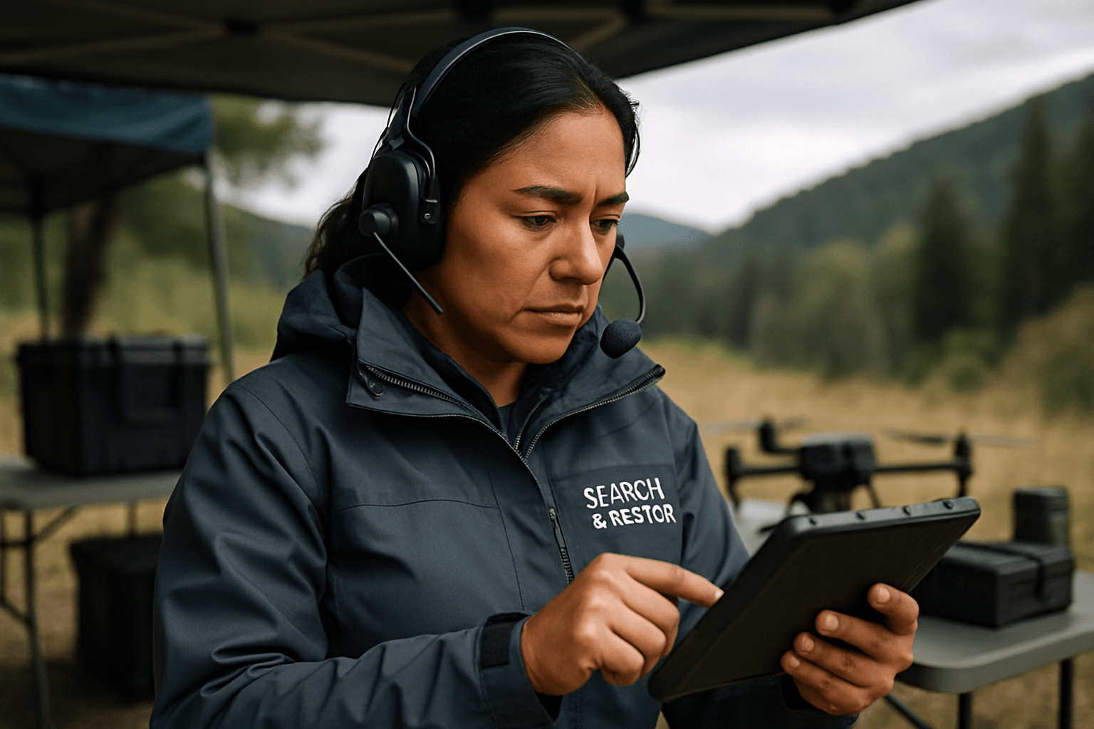
In the high-stakes world of search and rescue (SAR), every second counts. Unmanned Aerial Systems (UAS), or drones, have emerged as indispensable tools, offering a rapid, aerial perspective that significantly enhances operational efficiency. However, the true power of these systems is unleashed not by a single sensor, but by the intelligent integration and fusion of data from multiple drone sensors. This advanced approach provides SAR teams with unprecedented situational awareness, enabling faster, more accurate decision-making and ultimately, saving lives.
Understanding Data Fusion in SAR Drone Operations
Data fusion in the context of SAR drones is the sophisticated process of combining information collected from various onboard sensors to create a unified, accurate, and actionable dataset. Instead of viewing each sensor’s output in isolation, data fusion synthesizes these diverse streams into a comprehensive picture of the operational environment. This synergistic approach ensures that the strengths of one sensor compensate for the limitations of another, leading to a more robust and reliable understanding of the search area.
The Diverse Arsenal of Drone Sensors in SAR
Modern SAR drones are equipped with a suite of advanced sensors, each designed to capture specific types of information critical for locating missing persons and assessing disaster zones:
- Thermal Imaging Cameras (FLIR): These are game-changers, detecting heat signatures in darkness, smoke, fog, dense foliage, or under rubble, effectively “seeing the invisible” by capturing infrared radiation.
- High-Resolution Optical (RGB) Cameras: Essential for capturing detailed visual imagery, real-time video, and creating high-resolution maps and orthomosaics of search zones.
- LiDAR (Light Detection and Ranging): LiDAR sensors generate precise 3D point clouds and detailed topographical models of terrain and structures, crucial for navigating complex environments like collapsed buildings or mountainous regions, and for obstacle avoidance.
- Synthetic Aperture Radar (SAR): This remote sensing method uses radar signals to produce high-resolution images of terrain, capable of seeing through clouds and some foliage, making it invaluable for disaster monitoring and environmental applications where optical data is hindered.
- GPS and IMU (Inertial Measurement Unit): Fundamental for precise navigation, localization, and maintaining stable flight, combining data from accelerometers, gyroscopes, and magnetometers to reduce drift.
- Multispectral Sensors: Gather data across various light spectrums, providing insights into vegetation health and environmental conditions.
- Ultrasonic Sensors: Primarily assist in altitude measurement and proximity detection, contributing to obstacle avoidance.
The Transformative Benefits of Data Fusion
The integration of data from these diverse sensors through fusion techniques brings a multitude of advantages to SAR operations:
- Enhanced Situational Awareness: Combining multiple data sources offers a richer, more complete understanding of the environment, improving target identification and overall operational clarity.
- Improved Decision-Making: Real-time fused data provides comprehensive insights, allowing SAR commanders to make more informed and precise decisions, often in critical, time-sensitive scenarios.
- Faster Victim Location: By cutting through environmental obfuscations (like darkness or dense cover) and quickly identifying anomalies, data fusion significantly reduces the time required to locate missing persons.
- Increased Safety and Reliability: Fused data improves the robustness of flight control decisions, enables autonomous navigation with obstacle avoidance, and reduces the risk of misinterpreting sensor anomalies, thereby enhancing the safety of both rescue personnel and equipment.
- Optimized Resource Deployment: With a clearer picture of the search area and potential hazards, SAR teams can deploy ground units and other resources more efficiently and effectively.
Best Practices for Implementing Data Fusion
Effective data fusion requires meticulous planning, precise execution, and continuous optimization. Adhering to best practices is crucial for harnessing the full potential of multi-sensor drone systems in SAR.
1. Strategic Sensor Selection and Integration
The first step in effective data fusion is selecting the right sensors for the mission’s objectives. A dual-sensor payload combining high-resolution optical and thermal cameras is often considered a pivotal part of any aerial SAR mission, allowing real-time switching between views. Seamless integration of chosen sensors with the drone’s hardware and software is equally important.
2. Rigorous Sensor Calibration and Synchronization
Accuracy in data fusion hinges on the precise calibration and synchronization of all sensors.
- Calibration: Regularly calibrate flight-critical sensors like GPS, IMU, and compass, as well as payload-specific sensors such as thermal cameras and LiDAR. Use traceable standards and control environmental conditions during calibration to minimize external influences. Pre-flight checks that produce sample thermal and visual images can help “calibrate” human eyes to optimal parameters.
- Synchronization: Accurate timestamping across all sensor inputs is paramount. This ensures that fusion processes operate with synchronized data, which is crucial for real-time response and data accuracy.
3. Robust Data Pre-processing
Raw sensor data often contains noise and inconsistencies that can compromise fusion quality.
- Cleaning and Formatting: Data must be cleaned and formatted to ensure compatibility across different sensors.
- Alignment and Registration: Georeferencing and aligning data from various sensors (e.g., thermal imagery with optical imagery or LiDAR point clouds) ensures that all information correlates spatially.
4. Advanced Fusion Algorithms and Techniques
The core of data fusion lies in its algorithms, which combine information to form a coherent dataset.
- Traditional Filters: Kalman filters and complementary filters are commonly used for dynamic data fusion, especially for smoothing merged velocity data and improving positioning accuracy.
- AI and Machine Learning: Deep learning-based fusion, leveraging neural networks (such as Convolutional Neural Networks for image data and Recurrent Neural Networks for sequential data), can learn complex, non-linear relationships between sensor inputs. These methods excel in object detection, classification, and environmental mapping, especially with high-dimensional or unstructured data. Graph-based fusion models also offer sophisticated integration capabilities.
5. Real-time vs. Post-processing Strategies
SAR operations benefit from both immediate and in-depth analysis.
- Real-time Processing: The ability to process and analyze data in real-time is vital for immediate decision-making and rapid response in dynamic environments. Technologies like edge computing and 5G connectivity enhance real-time data transmission and processing directly on the drone.
- Post-processing: After a mission, collected data can undergo more extensive post-processing to create detailed 3D maps, digital twins, and orthomosaics, offering deeper insights for analysis, planning, and refining operational procedures.
6. Intuitive Visualization and User Interface
The output of data fusion must be presented in a clear, actionable format to human operators.
- Multi-layered Dashboards: Integrated dashboards that merge thermal imagery, LiDAR point clouds, and RGB photography into synchronized displays provide comprehensive situational awareness. Interactive filtering controls allow stakeholders to access tailored, mission-critical information efficiently.
- GIS Integration: Integrating drone sensor data with Geographic Information Systems (GIS) offers powerful spatial analysis and visualization tools, enabling SAR teams to map search zones, pinpoint locations, and manage resources effectively.
7. Training, Operational Procedures, and Continuous Improvement
Even the most advanced technology requires skilled human operators and robust processes.
- Training and Expertise: Invest in training programs for staff to handle the technical complexities of operating multi-sensor drones and interpreting fused data.
- Documentation and Compliance: Document calibration results, flight parameters, and mission data for compliance, troubleshooting, and continuous refinement of SAR strategies.
- Addressing Challenges: Acknowledge and plan for challenges such as managing massive data volumes, latency, uncertainty, and the cost of advanced equipment. Robust computing infrastructure and AI/ML for automated object recognition can help mitigate these issues.
The Future of SAR with Drone Data Fusion
The field of drone data fusion is continuously evolving. Future advancements are expected in intelligent fusion algorithms, lightweight federated learning frameworks, low-power AI chips, and flexible sensor arrays. As these technologies mature, SAR teams will gain even more precise, reliable, and rapid capabilities, further solidifying the critical role of drones in saving lives in complex and challenging environments.


