The burgeoning field of environmental monitoring and conservation is increasingly leveraging drone technology, offering unprecedented capabilities for data collection, analysis, and rapid response. From mapping forest health to assessing disaster zones, Unmanned Aerial Systems (UAS), commonly known as drones, provide invaluable insights. However, operating drones for such critical applications demands more than just basic flight skills; it requires specialized training that blends aviation proficiency with a deep understanding of environmental science and data analytics.
Foundational Certification: The Commercial Drone Pilot License
Before a drone pilot can embark on specialized environmental missions, they must first secure a foundational commercial drone pilot license. In the United States, this typically means obtaining the Federal Aviation Administration (FAA) Part 107 Remote Pilot Certificate.
To qualify for the Part 107 certificate, individuals must:
- Be at least 16 years old.
- Be able to read, speak, write, and understand English.
- Be in a physical and mental condition to safely operate a drone.
- Pass an initial aeronautical knowledge test at an FAA-approved testing center.
The knowledge test covers critical topics such as applicable FAA regulations, airspace classification and operating requirements, weather effects on drone performance, loading and performance, emergency procedures, crew resource management, airport operations, and maintenance procedures. Pilots must also adhere to operational rules, including keeping the drone within visual line of sight, operating below 400 feet, and avoiding flight over people or moving vehicles unless specific conditions are met or waivers obtained. Drone registration with the FAA is also mandatory.
Specialized Training for Environmental Drone Operations
Beyond the general aviation regulations, environmental drone pilots require a robust set of skills tailored to the unique demands of ecological and natural resource applications. This specialized training often encompasses advanced sensor operation, data processing, and a solid grasp of environmental principles.
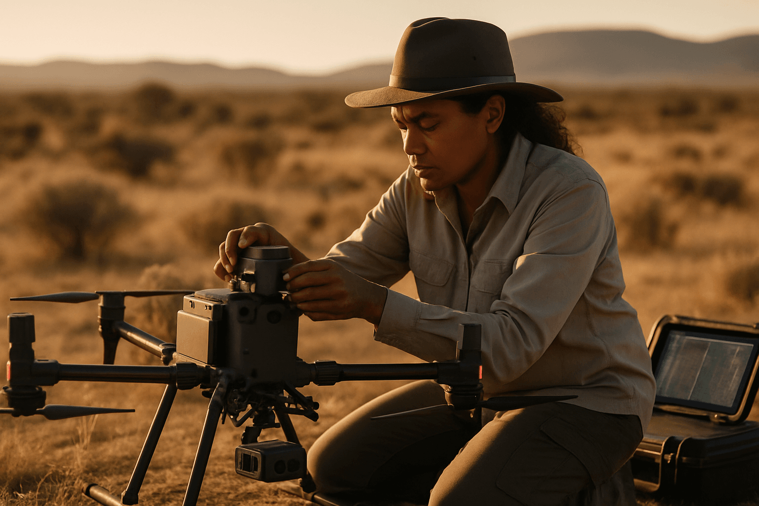
Sensor Technologies and Data Acquisition
Environmental monitoring often relies on specific types of sensors beyond standard RGB cameras, necessitating specialized training:
- Multispectral Imaging: Drones equipped with multispectral sensors capture data across various light bands, providing crucial information on vegetation health and stress. Training in this area covers understanding multispectral imaging, interpreting vegetation indices (like NDVI), camera setup, flight planning for data collection, and post-processing and analysis using specialized software. These skills are vital for applications like precision agriculture, forest management, disease detection, and water quality monitoring.
- LiDAR (Light Detection and Ranging): LiDAR technology is used to create precise 3D maps and models of terrain and objects, invaluable for applications requiring accurate elevation data or canopy penetration. Specialized LiDAR training focuses on the fundamental principles of the technology, differentiating sensor types, mission planning for optimal data acquisition, ensuring data accuracy and precision, and processing raw LiDAR data into actionable deliverables such as point clouds and Digital Elevation Models (DEMs). This is particularly useful for forestry, geological surveys, and mapping environmental hazards.
- Thermal Imaging: Infrared/thermal sensors detect heat signatures, essential for wildlife monitoring, detecting hidden fires, or assessing water temperature anomalies. Training includes understanding thermal principles and how to interpret thermal data.
Environmental Science and Application-Specific Knowledge
A drone pilot in environmental applications must understand what they are looking for and why it’s important. This involves training in:
- Environmental Monitoring Techniques: Courses delve into how UAVs are used in various natural contexts, including forest management, wildlife conservation (e.g., animal population studies, habitat mapping), water quality monitoring, disaster assessment (e.g., floods, fires, landslides), and environmental cleanup verification.
- Ecological Principles: Understanding how to sample plant communities with drones, produce orthomosaic maps for landform imagery, and recognize the capabilities and limitations of various sensing technologies for ecological purposes. Some programs offer comprehensive sequences on UAS applications in environmental science, ecology, and conservation.
- Remote Sensing Fundamentals: A strong grasp of remote sensing principles is crucial, including understanding the electromagnetic radiation spectrum and how different sensors capture data.
Data Processing and Analysis
Collecting data is only the first step; extracting meaningful insights requires proficiency in data processing and analysis:
- Photogrammetry and 3D Modeling: Learning how to process drone images using photogrammetric software to create orthomosaics, 3D models, and other visual products is often a key component.
- Geographic Information Systems (GIS): Understanding how to integrate drone-collected data into GIS platforms for spatial analysis and mapping is essential for environmental scientists.
- Data Management and Ethics: With the vast amounts of data collected by drones, training on data protection, security measures, regulatory compliance (e.g., GDPR, CCPA), and ethical considerations regarding privacy and surveillance is increasingly vital.
Operational Considerations for Environmental Settings
Operating drones in diverse environmental settings presents unique challenges:
- Flight Planning for Scientific Research: Developing research plans that employ drones to collect robust scientific data, addressing factors that can affect data collection for both multirotor and fixed-wing drones.
- Environmental Factors in Flight: Pilots must consider and anticipate environmental variables that can affect drone operations, such as weather conditions (rain-free, low wind, overcast is ideal for reducing shadows), and the presence of fauna (e.g., predatory birds).
- Regulatory Compliance in Specific Contexts: Understanding how drone regulations apply to routine environmental monitoring programs, including legal aspects and potential privacy concerns when operating over private land or sensitive areas.
Continuing Education and Industry Evolution
The field of drone technology and its applications in environmental science are rapidly evolving. Therefore, continuous learning is paramount for drone pilots in this discipline. Staying updated on new sensor technologies, advanced data processing techniques, and evolving regulations (such as potential future rules for Beyond Visual Line of Sight (BVLOS) operations) is crucial for maintaining expertise and competitive advantage. Many institutions and private academies offer specialized courses and certificate programs to help professionals advance their skills in this dynamic field.


