When you hear “drone,” images of packages dropping gracefully onto doorsteps might be the first thing that comes to mind. While drone delivery services are indeed a burgeoning application, the true potential of unmanned aerial vehicles (UAVs) extends far beyond merely transporting goods. These versatile flying machines are rapidly revolutionizing industries, enhancing safety, and providing unprecedented data collection capabilities across a multitude of sectors, from agriculture and infrastructure to public safety and environmental conservation.
Infrastructure Inspection & Maintenance
One of the most impactful applications of drones lies in the inspection and maintenance of critical infrastructure. Traditional methods often involve dangerous, time-consuming, and costly manual inspections, frequently requiring scaffolding, heavy machinery, or human personnel to access hazardous areas. Drones offer a safer, more efficient, and cost-effective alternative.
Bridges & Buildings
Drones equipped with high-resolution cameras and LiDAR technology can capture detailed visual and 3D data of bridges and buildings. This allows inspectors to identify cracks, corrosion, leaks, delamination, and other structural defects that might be hard to spot from the ground, all without putting human lives at risk. They can also create as-built models for renovation planning or volume measurements prior to decommissioning.
Power Lines & Pipelines
Inspecting vast networks of power lines and extensive pipelines, especially in remote or challenging terrains, is a monumental task. Fixed-wing and multi-rotor drones can efficiently cover large areas, capturing crucial data to detect potential issues like damage or corrosion. Thermal imaging cameras on drones can even detect temperature variations indicative of leaks or faulty equipment in pipelines.
Wind Turbines & Solar Farms
For assets like tall wind turbines or expansive solar farms, drones provide a swift and safe inspection method. They can quickly assess the condition of blades, panels, and other components, reducing the need for manual checks that require climbing or specialized lift equipment.
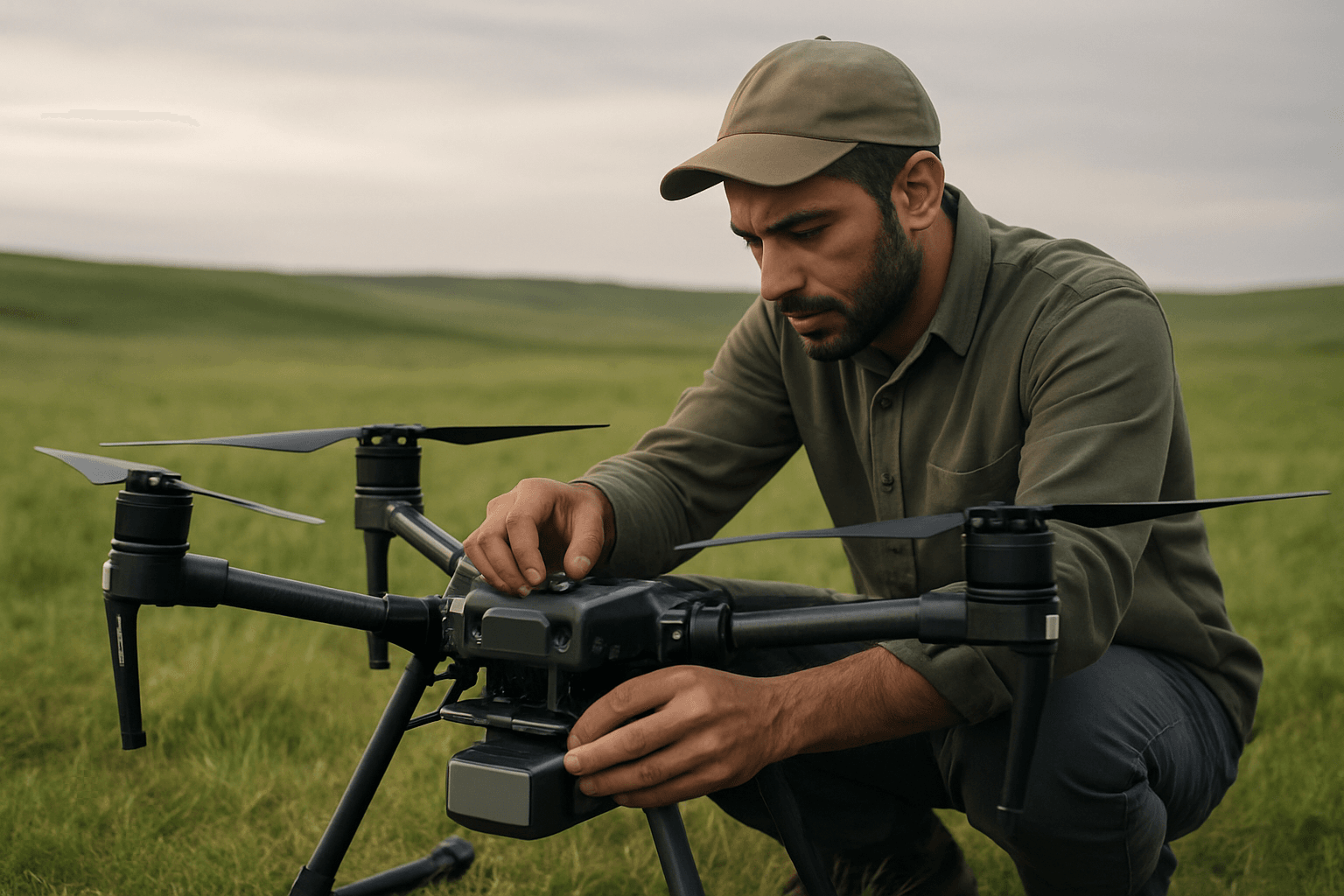
Agriculture & Forestry
The agricultural sector has embraced drone technology, leading to significant advancements in “precision agriculture.” Drones help farmers monitor and manage their crops and livestock more efficiently, aiming to optimize yields and reduce environmental impact.
Precision Farming & Crop Monitoring
Drones outfitted with specialized sensors, including multispectral cameras, can gather data on crop health, identify disease, assess canopy cover, calculate biomass, and monitor growth stages. This data allows farmers to make informed decisions about irrigation, fertilization, and pest control, often enabling spot treatments rather than widespread spraying, which reduces the amount of inputs needed and minimizes environmental runoff.
Livestock Management
Drones assist farmers in tracking and counting livestock over large areas, surveying fences, and monitoring for animal health issues.
Reforestation & Pest Control
In forestry, drones can collect accurate data for forest planning and management. They can also be used for reforestation efforts, seeding, and even to deter pests from crops by emitting noise or distress calls.
Public Safety & Emergency Services
Drones are increasingly becoming indispensable tools for public safety agencies, enhancing situational awareness, improving response times, and ensuring the safety of personnel and civilians.
Search and Rescue Operations
During search and rescue missions, particularly in challenging terrains, dense forests, or after natural disasters, drones can cover large areas much faster than ground teams. Thermal imaging cameras on drones are crucial for locating missing persons, especially in low-light conditions, under rubble, or obscured by smoke.
Firefighting Support
Fire departments utilize drones to assess fire scenes, identify hotspots, and track the spread of flames without endangering firefighters. Drones provide real-time aerial intelligence, improving tactical responses to urban fires and wildfires.
Law Enforcement Surveillance & Support
Police departments deploy drones for aerial surveillance during large public events, protests, or tactical operations, providing real-time monitoring and enhancing decision-making. They are also used for crime scene analysis, traffic accident reconstruction, and tracking suspects, offering a comprehensive aerial view for evidence collection and improved officer safety.
Environmental Monitoring & Conservation
Drones are powerful allies for environmentalists and conservationists, offering unprecedented data collection capabilities for understanding and preserving our natural world.
Wildlife Tracking & Anti-Poaching
Conservationists use drones to track wildlife, monitor populations, and identify invasive species. Drones with thermal cameras can locate animals that might otherwise be difficult to find. They are also effective in anti-poaching efforts, enabling discreet surveillance of remote areas.
Pollution Detection & Climate Change Research
Drones equipped with advanced sensors can monitor pollution levels in air and water, track outflows and discharges into watercourses, and assess coastal erosion. This high-resolution data aids in identifying pollutants, tracking their origin, and informing policy decisions related to environmental management and climate change research.
Media & Entertainment
The media and entertainment industry has been significantly transformed by drone technology, opening up new creative possibilities and reducing production costs.
Aerial Photography & Cinematography
Drones allow filmmakers and photographers to capture breathtaking aerial shots and cinematic views that were previously difficult, dangerous, or extremely expensive to achieve with helicopters or cranes. They can film high-speed chases, sweeping landscapes, and live events with remarkable fluidity and stability.
Live Event Coverage
For sports events, concerts, festivals, and news coverage, drones provide dynamic and immersive aerial perspectives, enhancing the viewer experience with unique angles not possible with ground-based cameras.
Surveying & Mapping
Drones have revolutionized surveying and mapping, offering faster, more cost-effective, and safer methods for collecting geospatial data.
Topographic Mapping & 3D Modeling
Equipped with high-precision sensors, cameras, and LiDAR units, drones can create accurate maps and detailed 3D models of terrain. This data is invaluable for construction projects, urban planning, land management, and mining, helping to determine optimal locations for structures, assess land features, and calculate volumes.
Construction Site Monitoring
Drones provide civil construction companies with highly accurate mapping and measurement of sites, reducing the need for manual surveying. They can quickly collect and analyze real-time data to track changes, manage projects, and ensure timely and budget-compliant completion.
Other Emerging Applications
Beyond these major fields, drones are also making inroads into other critical areas, further demonstrating their versatility:
Medical & Humanitarian Aid Delivery
In healthcare, drones offer the potential for rapid and timely delivery of medical supplies, vaccines, blood products, and even organs, especially to remote or underserved areas. During disaster relief efforts, drones can transport essential supplies like food and water to isolated regions where traditional infrastructure is compromised, providing aid faster and more efficiently.
Military and Defense
While their origins are rooted in military applications, modern military drones continue to evolve for surveillance, reconnaissance, border patrol, and the development of autonomous systems for tasks like mine clearance, reducing risk to personnel.
The capabilities of drones are expanding at an incredible pace, constantly pushing the boundaries of what these unmanned aerial vehicles can achieve. As technology advances, we can expect even more innovative applications to emerge, further integrating drones into our daily lives and various industries.


