The vast, mysterious expanse of the world’s oceans holds countless secrets, influencing global climate, supporting immense biodiversity, and remaining largely unexplored. Traditional methods of oceanographic research, often reliant on costly and labor-intensive expeditions, have faced inherent limitations in scope, safety, and efficiency. However, a new era of exploration is dawning with the advent of drone-based data collection methods, offering unprecedented opportunities to understand and protect our marine environments. These uncrewed vehicles are transforming how scientists gather critical information, making oceanographic research more accessible, accurate, and responsive than ever before.
Diverse Drone Platforms for Oceanographic Data Collection
Drone technology in oceanography encompasses a variety of platforms, each designed for specific data collection tasks above, on, or beneath the ocean’s surface. These include:
Unmanned Aerial Vehicles (UAVs)
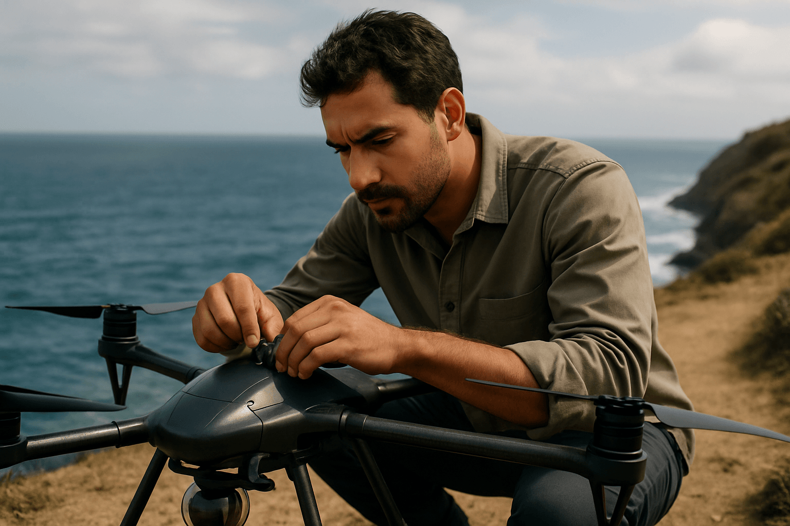
Often referred to simply as “drones,” UAVs fly above the water, providing an aerial perspective. They are particularly effective for surveying large surface areas quickly and efficiently. Equipped with high-resolution cameras and advanced sensors, aerial drones offer a bird’s-eye view of ocean phenomena and marine life, complementing data from underwater and surface vehicles. They can cover extensive marine areas in a shorter timeframe than traditional ship-based surveys, even navigating around obstacles like icebergs.
Unmanned Surface Vessels (USVs)
These autonomous boats operate on the ocean’s surface. USVs are increasingly used for ocean monitoring, carrying a range of sensors to collect data on the marine environment. Platforms like the Saildrone are examples of autonomous surface vehicles designed for long-term meteorological and oceanographic research, capable of operating in remote and harsh environments for extended periods.
Submersible Drones (ROVs and AUVs)
Remotely Operated Vehicles (ROVs) and Autonomous Underwater Vehicles (AUVs) explore the depths of the ocean without human occupants. ROVs are tethered and controlled by an operator, while AUVs operate independently based on pre-programmed missions. These underwater drones are revolutionizing deep-sea wildlife research and environmental monitoring, silently observing marine life and collecting precise data without disruption.
Advanced Sensor Technologies and Data Collection Capabilities
The power of drone-based oceanographic research lies in the sophisticated array of sensors they can carry, enabling the collection of diverse and high-quality data.
Visual and Imaging Systems
High-definition cameras, including 4K resolution capabilities, are standard on many drones, capturing both still images and video footage. Aerial drones provide high-resolution images of the ocean’s surface, identifying features like upwelling regions or marine debris. Underwater drones feature multiple camera arrays for 360-degree visibility, specialized cameras for macro shots, and sophisticated lighting systems for low-light conditions. LiDAR technology, especially green LiDAR, is now being integrated into drones for 3D scanning both above and below water, enabling detailed mapping of the seabed, kelp forests, seagrass, and other underwater vegetation.
Environmental Sensors
Drones are equipped with specialized sensors to measure crucial oceanographic parameters. These include:
- Water temperature and salinity: Critical indicators of ocean health and climate change impacts.
- pH levels and dissolved oxygen: Essential for understanding ocean acidification and marine ecosystem vitality.
- Turbidity and pollution concentrations: Used for monitoring water quality and detecting contaminants.
- Atmospheric particles and gases: Future drone payloads could measure these for studying marine ecology and the ocean-climate connection.
Acoustic and Sonar Technologies
Echosounders and sonar systems are commonly integrated into USVs and submersible drones. These are vital for detecting and tracking marine life, creating detailed 3D maps of the seafloor (bathymetry), and identifying underwater structures. Multibeam sonar systems on USVs, for instance, play a crucial role in mapping and visualizing the seafloor with precision.
Transformative Applications in Oceanographic Research
Drone-based data collection has a wide range of applications, providing invaluable insights across various fields of marine science.
Environmental Monitoring and Climate Change Research
Drones are vital for monitoring sea level rise, ocean acidification, and changes in marine life populations due to climate change. They track environmental parameters over time, creating comprehensive maps of conditions and fluctuations, which are key for fighting global warming’s effects on oceans. Drones also monitor phytoplankton abundance and sediment discharge, providing insights into the productivity of the upper food web and water quality.
Marine Life Tracking and Biodiversity Studies
UAVs are used to survey marine animals, track migration patterns of whales, dolphins, and sea turtles, and study their behaviors in detail. The unobtrusive nature of drones allows for observations that minimize disturbance to marine communities. Advanced AI systems on underwater drones can identify and classify marine species in real-time, aiding biodiversity surveys and population monitoring.
Coral Reef Mapping and Ecosystem Health Assessment
Drones equipped with high-resolution cameras and LiDAR technology create detailed 3D maps of coral reefs, assisting in conservation and restoration efforts. AI systems check reef health and spot problems early, providing data from hard-to-reach places. This helps scientists identify threats like coral bleaching and disease early on.
Fisheries Management and Conservation
Drones assist in monitoring illegal fishing activities, assessing fish populations, and tracking fishing vessels, contributing to sustainable fisheries management and reducing overfishing. They can locate schools of fish and monitor fishing operations, providing data that was previously difficult to obtain.
Coastal Mapping and Hazard Detection
USVs are particularly effective in shallow and coastal areas, where traditional vessels face difficulties. They collect data on seabed bathymetry, characterizations, water temperature, salinity, and ocean current patterns. Drones can also be deployed rapidly to assess oil spill damage and guide cleanup efforts, minimizing environmental impact.
Key Advantages of Drone-Based Data Collection
The adoption of drones in marine research offers numerous compelling advantages over traditional methods:
- Cost-Efficiency: Drones provide a cost-effective alternative to expensive research vessels and manned expeditions, significantly reducing the financial burden of research projects.
- Enhanced Safety: Drones eliminate the need to expose human researchers to hazardous conditions or remote, dangerous locations, improving safety for scientific teams.
- Accessibility: Drones can access remote and inaccessible ocean areas, including polar regions, deep seas, and shallow coastal zones, providing data from environments difficult for humans to reach.
- Rapid and Efficient Data Collection: Drones can collect high-resolution data quickly and efficiently over large areas, allowing for real-time responses to dynamic environmental changes.
- Minimal Environmental Impact: With smaller carbon footprints compared to traditional vessels and less disturbance to marine life, drones align with principles of sustainable research.
- High-Resolution and Detailed Data: Equipped with precision instruments, drones offer more accurate measurements and visual documentation than many manual methods, providing detailed insights into marine ecosystems.
Challenges and Limitations in Drone Deployment
Despite their significant advantages, drone-based data collection in oceanographic research faces several challenges:
- Regulatory Hurdles: Complex regulations, such as airspace restrictions and data privacy concerns, can limit drone operations, particularly for research institutions compared to government agencies.
- Technical Constraints:
- Battery Life: Many off-the-shelf drones have limited battery life (often less than 30 minutes), restricting data collection duration per flight.
- Weather Dependency: Drones are sensitive to harsh weather conditions like strong winds and rain, which can impede operations.
- Electromagnetic Interference: Shipboard operations pose challenges due to electromagnetic signals (radar, radio) that can interfere with drone sensors and navigation.
- Payload Limitations: While improving, there are still limitations on the size and weight of sensors drones can carry.
- Environmental Factors: The marine environment itself presents obstacles, such as reflective water surfaces for aerial mapping and potential disturbance to sensitive marine species due to drone noise. Volcanic sand clinging to metallic parts can also interfere with drone engines.
- Data Processing: The sheer quantity of data collected by drones can pose a significant challenge for processing and analysis, often requiring advanced algorithms and machine learning.
The Future of Drone Technology in Marine Science
The future of drones in oceanographic research is characterized by continuous innovation and expanding capabilities.
AI Integration and Autonomous Operations
Artificial intelligence is increasingly being integrated into marine robotics, enabling drones to process data quickly, make rapid decisions, and even autonomously detect and respond to significant events like tracking whale pods or surveying thermal fronts. Autonomous swarm capabilities, where multiple drones work together to cover larger areas and collect comprehensive data, are also emerging.
Enhanced Sensor Development
Engineers are developing new payloads for drones, including sensors to measure atmospheric particles and gases, crucial for understanding the ocean-climate connection. Further advancements in LiDAR, sonar, and multi-parameter probes will continue to increase the accuracy and types of data that can be collected.
Hybrid Systems and Extended Endurance
Projects like the MEDUSA ‘dual robot’ drone, which combines aerial and underwater capabilities, represent the trend towards more versatile systems. Autonomous surface vessels are designed for long-term endurance, with some capable of missions lasting up to 12 months, collecting continuous high-resolution data from remote regions.
Accessibility and Collaboration
As drone technology becomes more sophisticated and accessible, it will empower a wider range of researchers, including citizen scientists and local conservation groups, to actively participate in marine research. Collaborations between technology companies, universities, and marine research institutions are vital for maximizing the potential of these tools.
Conclusion
Drone-based data collection methods are fundamentally reshaping oceanographic research, moving beyond the limitations of traditional exploration. By providing cost-effective, safer, and more efficient ways to gather high-resolution data from diverse and often inaccessible marine environments, drones are accelerating our understanding of ocean health, marine biodiversity, and climate change impacts. While challenges related to regulations, technical limitations, and environmental factors persist, ongoing innovation in AI, sensor technology, and autonomous systems promises an even more transformative role for drones in safeguarding the future of our oceans.


