Imagine mapping vast, complex, or dangerous terrains with unprecedented speed, accuracy, and safety, all without a human pilot at the controls. This is no longer a futuristic vision but a present-day reality, thanks to the advent of autonomous drone flights for mapping. These self-flying unmanned aerial vehicles (UAVs) are revolutionizing surveying, construction, agriculture, and many other industries by offering a host of advantages over traditional methods.
Enhanced Efficiency and Speed in Data Collection
One of the most compelling benefits of autonomous drone flights for mapping is the dramatic increase in efficiency and speed of data acquisition. Traditional surveying methods are often time-consuming, labor-intensive, and limited in their scope. Autonomous drones overcome these limitations by rapidly covering large areas and streamlining the entire mapping process.
Rapid Data Collection
Autonomous drones can cover hundreds of acres in a single day, a task that could take weeks using conventional methods. For instance, some advanced aerial platforms can map up to 700 hectares in a single 90-minute flight under optimal conditions. This rapid data collection is invaluable for projects requiring frequent updates, such as construction progress monitoring or agricultural crop health assessments. The ability to conduct site analysis, track progress, and ensure compliance in real-time allows companies to optimize workflows and make faster, more informed decisions.
Streamlined Workflows
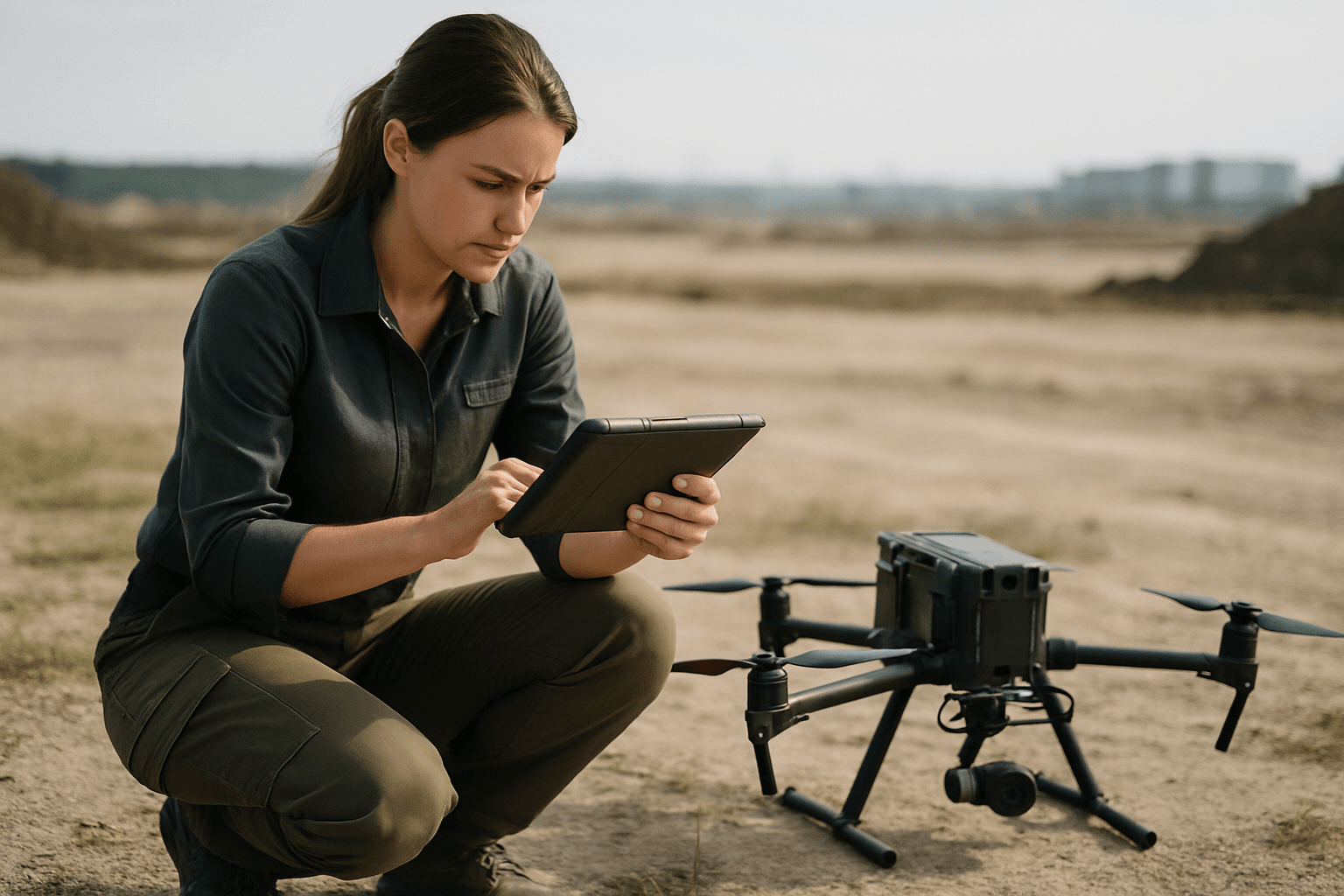
Autonomous systems enable remote mission planning using existing maps and satellite imagery, single-visit data collection, and automated quality checking during flight with immediate alerts for data gaps. This automation, from flight planning to data capture, significantly reduces manual effort and operational delays. Once mission parameters are set, the drone autonomously generates optimal flight paths, captures high-resolution geospatial data, and returns safely, often with minimal human intervention.
Unparalleled Accuracy and Precision
Autonomous drones deliver a level of mapping accuracy and precision that is difficult, if not impossible, to achieve with traditional techniques. This superior data quality is critical for applications requiring detailed measurements and consistent results.
Centimeter-Level Precision
Equipped with advanced sensors such as LiDAR, high-resolution RGB cameras, and GNSS systems (like RTK and PPK), autonomous drones can achieve centimeter-level accuracy. RTK (Real-Time Kinematic) and PPK (Post-Processed Kinematic) systems correct GPS signals using ground-based reference stations or satellite correction services, ensuring this high level of precision. This precision is crucial for construction planning, topographic analysis, and creating detailed 2D orthomosaic maps and 3D models.
Consistent and Repeatable Data
Autonomous drones follow pre-programmed flight paths, guaranteeing even coverage and consistent overlap in imagery. This consistency in flight paths ensures uniform data capture, which is vital for monitoring changes over time and making highly reliable surveys for precision projects. The use of AI algorithms also optimizes flight efficiency and coverage, adapting to environmental conditions and further improving data precision.
Significant Safety Improvements
Safety is a paramount concern in many mapping environments. Autonomous drones drastically reduce risks by minimizing the need for human presence in hazardous or difficult-to-access areas.
Minimizing Human Exposure to Hazardous Environments
Traditional surveying often requires personnel to access dangerous areas such as steep slopes, unstable structures, remote mining areas, construction sites, or active industrial zones. Autonomous drones eliminate the need for surveyors to physically navigate these hazardous terrains, significantly reducing the risk of injury and ensuring worker safety. This is particularly beneficial in industries like oil & gas for pipeline inspections or mining for underground mapping, where terrain can be perilous or difficult to access.
Obstacle Avoidance and Safe Operation
Modern autonomous UAVs incorporate advanced obstacle detection and avoidance systems that operate independently of human intervention. These safety features include forward, backward, and downward-facing sensors that create a 360-degree awareness bubble, often combined with AI-powered object recognition to distinguish between temporary obstacles and permanent structures. This ensures fewer risks and more reliable missions, even in complex environments.
Substantial Cost Savings
While there is an initial investment in autonomous drone technology, the long-term cost savings are significant, making it a highly cost-effective option for many businesses.
Reduced Labor and Equipment Costs
Autonomous drones reduce the need for extensive manpower and expensive traditional surveying equipment like helicopters or ground-based LiDAR systems. Companies can save substantial amounts annually by adopting drone surveys, with some studies suggesting savings of around $114,000 annually. Projects incorporating drones have reported labor cost savings of 20-30%. Fewer personnel are needed to operate drones compared to traditional surveying teams.
Minimized Rework and Delays
The high accuracy of data collected by autonomous drones reduces errors and the need for rework, saving costs associated with corrections and re-surveys. Additionally, the speed of data collection and processing dramatically reduces project timelines, which translates directly into cost savings by completing projects faster with fewer resources.
Versatile Applications and Data Outputs
Autonomous drone mapping offers immense versatility, producing a wide array of deliverables suitable for numerous industries and applications.
2D and 3D Mapping Capabilities
Drones equipped with various sensors can capture high-resolution orthophotos, detailed 3D models, and 3D point clouds. These deliverables are essential for applications such as construction site analysis, land planning, environmental monitoring, topographic surveys, and volumetric calculations. They can create detailed visual imagery for orthomosaic creation and high-accuracy elevation models that reveal subtle terrain variations.
Integration with GIS and AI
The data collected by autonomous drones can be seamlessly integrated with Geographic Information Systems (GIS) platforms, enabling comprehensive spatial analysis and planning. Furthermore, the integration of AI and machine learning algorithms into UAV mapping software is revolutionizing data processing, automating complex tasks like object detection, feature extraction, and anomaly identification. AI-powered tools can even predict future scenarios, such as crop yields or infrastructure deterioration, improving long-term planning and decision-making.
The Future is Autonomous
Autonomous drone flights for mapping are not merely an incremental improvement; they represent a fundamental shift in how geospatial data is captured, processed, and utilized. By offering unparalleled efficiency, accuracy, safety, and cost savings, these intelligent systems are transforming industries from construction and agriculture to urban planning and environmental management. As technology continues to evolve with smarter AI and advanced connectivity, the capabilities and adoption of autonomous drone mapping are set to expand even further, making it an indispensable tool for the modern world.


