Imagine a map of unparalleled detail and accuracy, a seamless aerial tapestry where every object is rendered true-to-scale, free from the distortions of traditional photographs. This is the power of orthomosaic maps, and increasingly, Unmanned Aerial Systems (UAS), or drones, are making their creation more accessible and efficient than ever before. These sophisticated maps are transforming how industries from construction to agriculture visualize, analyze, and manage spatial data, offering insights previously unattainable.
What is an Orthomosaic Map?
At its core, an orthomosaic map is a high-resolution, geometrically corrected aerial image that provides a true top-down view of an area. Unlike standard aerial photographs, which suffer from distortions caused by camera tilt, lens perspective, and variations in terrain, an orthomosaic has been “orthorectified.” This rigorous correction process ensures that the scale is uniform across the entire map, making it possible to take accurate measurements of distances, areas, and volumes directly from the image. Think of it as a much sharper, up-to-date, and measurable version of what you might see on satellite imagery services like Google Earth.
Why Drones are Revolutionizing Orthomosaic Mapping
The integration of drones into orthomosaic mapping has brought about a paradigm shift in aerial data collection. Traditional methods often involved manned aircraft or satellite imagery, which were typically more time-consuming and expensive. Drones, however, offer a cost-effective, efficient, and flexible solution.
Advantages of Drone-Based Mapping
- High Accuracy and Resolution: Drones equipped with advanced sensors and GPS technology can capture detailed aerial images with centimeter-level accuracy. They fly at lower altitudes than manned aircraft, resulting in a superior Ground Sampling Distance (GSD), meaning each pixel represents a smaller area on the ground, thus offering greater detail.
- Cost-Effectiveness: Drones significantly reduce the operational costs associated with aerial surveying compared to traditional methods.
- Rapid Data Collection: Drones can cover extensive areas quickly, allowing for faster data acquisition and processing times. This means up-to-date perspectives on a surveyed area can be obtained rapidly.
- Flexibility and Accessibility: Drones can be deployed in diverse environments, from urban centers to remote and challenging terrains, accessing areas that might be difficult or dangerous for human surveyors.
- Timeliness: Orthomosaics created with drones provide the most current view of a site, which is crucial for dynamic projects like construction.
The Process of Creating Orthomosaic Maps with Drones
Creating a high-quality orthomosaic map involves a systematic multi-step process, combining precise flight operations with sophisticated software processing.
Step 1: Flight Planning
Meticulous flight planning is the foundational step. This involves determining the drone’s flight path, altitude, and image overlap to ensure complete and consistent coverage of the target area.
- Automated Flight Paths: Specialized software is used to define an automated grid pattern, ensuring the drone captures overlapping images at set intervals with the camera pointed straight down (nadir).
- Overlap Settings: A critical aspect is setting appropriate image overlap, typically 75-85% frontlap and 65-75% sidelap, to provide sufficient data for stitching and orthorectification.
- Altitude and Resolution: Flight altitude directly impacts the final resolution of the orthomosaic map; lower altitudes generally yield higher detail.
- Weather Considerations: Calm weather conditions are ideal to avoid blurry images and maintain a stable flight path.
Step 2: Image Capture
Once the flight plan is established, the drone executes the automated mission, capturing numerous high-resolution, overlapping photographs.
- High-Resolution Cameras: Drones are equipped with high-resolution cameras, often with GPS and Inertial Measurement Unit (IMU) systems, to capture precise images and embed georeferenced data.
- Consistent Image Angles: Images are primarily captured at the nadir (camera pointed straight down) to minimize distortion.
- Ground Control Points (GCPs): For enhanced accuracy, especially in surveying applications, strategically placed Ground Control Points are often used. These are marked points on the ground with precisely known coordinates that help in the georectification process.
Step 3: Data Processing
After image capture, the raw aerial photos are imported into specialized photogrammetry software. This is where the magic of transforming individual images into a seamless, measurable map happens.
- Stitching and Alignment: The software stitches together the overlapping images, using common features and GPS coordinates to align them into a single, seamless mosaic.
- Orthorectification: This crucial step corrects for distortions caused by lens imperfections, camera tilt, and terrain variations, creating a geometrically accurate, true-to-scale representation.
- Output Generation: The software generates the final orthomosaic map, often in formats like GeoTiff or KML, which can then be used for various analyses.
Step 4: Quality Check and Analysis
A final quality check ensures the orthomosaic map meets the required accuracy and detail. The map can then be integrated into Geographic Information Systems (GIS) for further analysis, measurements, and reporting.
Essential Hardware and Software
To create orthomosaic maps effectively, specific hardware and software are indispensable.
Drone Hardware
- UAS with High-Resolution Camera: A drone capable of stable flight and equipped with a high-resolution camera is fundamental.
- GPS/RTK/PPK Technology: Drones with integrated GPS and IMU systems are standard. For survey-grade accuracy, drones equipped with RTK (Real-Time Kinematic) or PPK (Post-Processed Kinematic) technology are often preferred, as they provide centimeter-level precision.
Photogrammetry Software
Specialized photogrammetry software is essential for processing the raw images into an orthomosaic map. Key features include automated processing, customizable workflows, and the ability to generate 2D and 3D outputs.
- Commercial Software: Popular choices include Pix4Dmapper/Pix4Dmatic, DroneDeploy, Agisoft Metashape, and ArcGIS Drone2Map. These platforms offer robust features for flight planning, image processing, and analysis, often with cloud-based options.
- Open-Source Alternatives: For users with a GIS background looking for more budget-friendly options, WebODM can be used in conjunction with QGIS.
- Flight Planning Software: Many photogrammetry suites include flight planning tools, or dedicated software like UgCS can be used to plan automated flight paths, especially over complex terrain.
Applications of Drone-Based Orthomosaic Maps
The versatility and precision of drone-generated orthomosaic maps make them invaluable across a multitude of industries.
Construction and Urban Planning
- Site Planning and Monitoring: Providing detailed maps for initial site assessments, accurate planning, and tracking construction progress with up-to-date aerial imagery.
- Volume Calculations: Measuring stockpiles and calculating volumes of materials on construction sites and in mining/quarrying operations.
- Quality Control & As-Built Surveys: Identifying potential issues early and ensuring constructed structures match planned designs.
- Infrastructure Development: Designing and planning efficient transportation networks and public infrastructure.
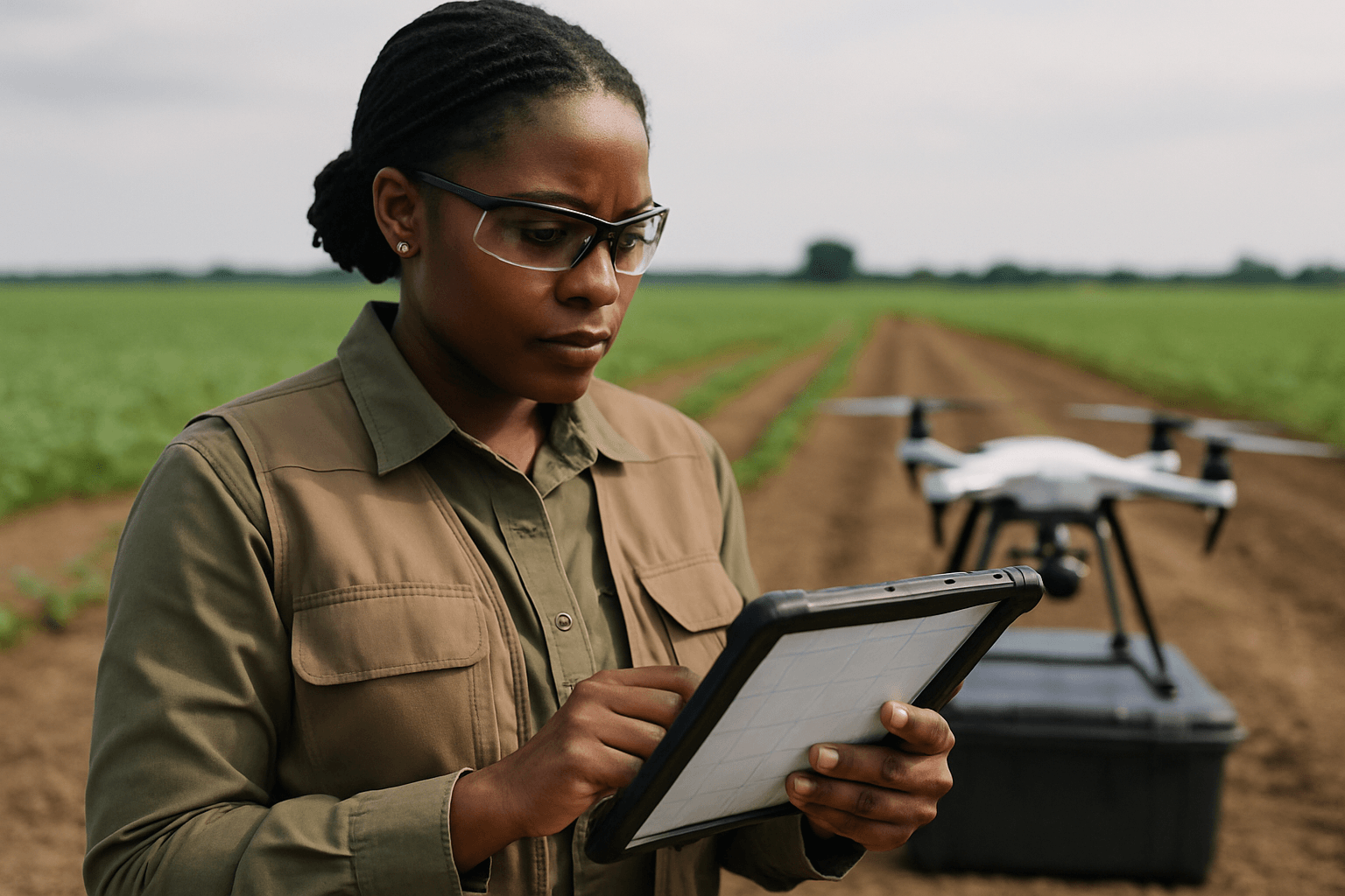
Agriculture and Precision Farming
- Crop Monitoring and Health Assessment: High-resolution imagery helps detect plant health issues, pest infestations, nutrient deficiencies, and assess growth patterns.
- Soil Analysis: Detailed maps aid in understanding soil composition and planning irrigation systems, optimizing resource use, and enhancing crop yields.
- Vegetation Analysis: Using multispectral cameras to gather data for NDVI (Normalized Difference Vegetation Index) analysis.
Land Management and Surveying
- Topographic Surveys: Creating detailed topographic maps and 3D models of terrain.
- Boundary Mapping: Accurate mapping of property boundaries and land use analysis.
- Environmental Monitoring and Conservation: Tracking environmental changes, studying ecosystems, and assessing the impact of various factors.
Other Applications
- Real Estate: Creating interactive virtual tours and providing detailed property overviews.
- Law Enforcement and Emergency Services: Mapping crime scenes, accident sites, and aiding in disaster response and damage assessment.
- Archaeology: Planning digs and documenting historical sites.
Conclusion
The creation of orthomosaic maps using drone imagery represents a significant advancement in geospatial data collection. By combining the agility and cost-effectiveness of drones with powerful photogrammetry software, professionals can generate highly accurate, distortion-free, and up-to-date maps. These orthomosaics serve as indispensable tools for detailed analysis, precise measurements, and informed decision-making across a wide array of industries, truly allowing us to unveil the world with unprecedented clarity and precision.


