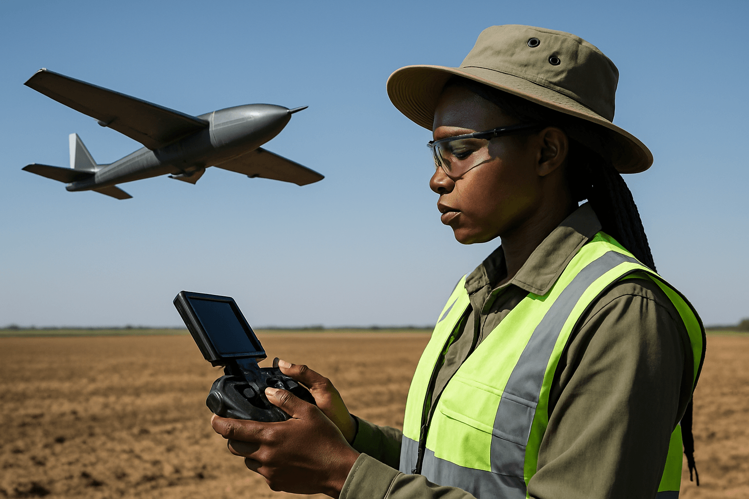
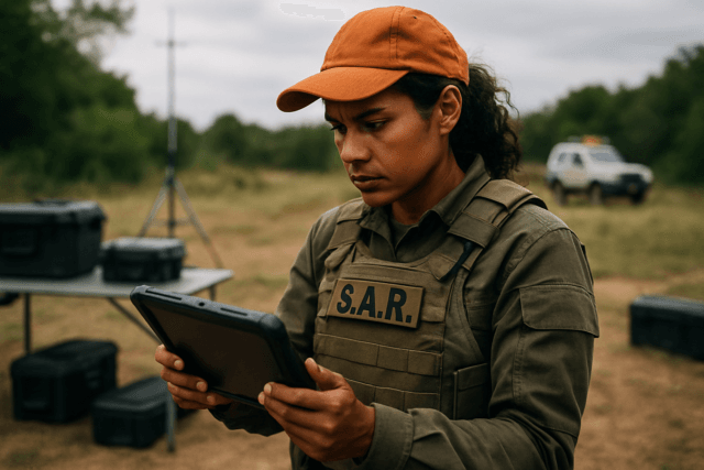
In the rapidly evolving landscape of surveying and mapping, unmanned aerial systems (UAS), particularly fixed-wing drones, have become indispensable tools for professionals seeking unparalleled precision. Gone are the days when drone surveys were considered merely “good enough”; with the right techniques and technology, fixed-wing drones can achieve survey-grade accuracy, rivaling and often surpassing traditional ground-based methods. This guide delves into the crucial components and methodologies required to elevate your drone operations to this stringent standard.
What Defines Survey-Grade Accuracy?
Survey-grade accuracy refers to the ability to consistently produce geospatial data with centimeter-level (or sub-inch) precision, both horizontally and vertically. This level of accuracy is critical for applications such as construction, land development, infrastructure monitoring, volumetric calculations, and urban planning, where even slight deviations can lead to significant errors and costs. Achieving this precision with a fixed-wing drone requires a synergistic approach, combining advanced hardware, meticulous planning, and sophisticated data processing.
Core Technologies for Unmatched Precision
Several key technologies are fundamental to attaining survey-grade accuracy in fixed-wing drone operations.
Real-Time Kinematic (RTK) and Post-Processed Kinematic (PPK) Systems
RTK and PPK are GPS correction technologies that significantly enhance the positional accuracy of drone data beyond the several meters offered by standard GPS. Both systems can achieve centimeter-level accuracy.
Real-Time Kinematic (RTK)
RTK systems correct GPS position data in real-time during the drone flight. An RTK-enabled drone carries an onboard GNSS RTK receiver that communicates with a fixed base station or a CORS (Continuously Operating Reference Station) network. This base station provides real-time corrections to the drone’s GPS data, minimizing positional drift and allowing for immediate, precise georeferencing of images. The primary advantage of RTK is the ability to see corrected coordinates and accuracy in the field, potentially saving post-processing time. However, it relies on a continuous and consistent data link, which can be disrupted by obstacles or large survey areas, leading to potential data gaps.
Post-Processed Kinematic (PPK)
PPK systems apply corrections to location data after the drone flight is completed. The drone geotags each image with its coordinates during the flight, while a separate base station simultaneously records positional information. After the mission, these two sets of GPS data are combined and processed using specialized software to correct satellite signal errors, achieving sub-centimeter accuracy. PPK offers greater dependability in challenging environments where real-time signal loss might occur, as it doesn’t require a constant data link during the flight. This makes PPK particularly well-suited for longer flights and beyond visual line of sight (BVLOS) operations. Some advanced fixed-wing drones, like the JOUAV CW Series, integrate both RTK for precise takeoff and landing and PPK for efficient, accurate data gathering.
Ground Control Points (GCPs) and Checkpoints
Even with RTK or PPK systems, Ground Control Points (GCPs) remain a critical component for achieving and verifying survey-grade accuracy, especially for tasks requiring centimeter-level precision.
The Role of GCPs
GCPs are visible markers placed on the ground with precisely known geographic coordinates, typically measured using survey-grade RTK GPS systems or total stations. They act as anchors, tying the drone’s aerial imagery to real-world positions, correcting for errors like GPS drift, and significantly boosting both horizontal and vertical accuracy. Without GCPs, positional errors in drone maps can accumulate, resulting in inaccuracies of several meters; with GCPs, this can be reduced to centimeters or even millimeters.
Strategic Placement and Measurement
To achieve optimal results, typically at least five GCPs are recommended for survey-grade accuracy, with some experts suggesting 8-10 for areas up to 50 acres. For larger projects, adding checkpoints every 10 additional acres is advisable. Placement should be strategic and evenly distributed across the survey area, including corners, the center, perimeter, and areas with significant elevation changes. Clustered GCPs can actually reduce accuracy for the overall site. GCPs should be high-contrast, visible from the flight altitude, and have a clearly defined center for accurate identification in imagery.
Checkpoints for Verification
Checkpoints are similar to GCPs in their physical appearance and measurement, but they are not used in the photogrammetry processing to georeference the map. Instead, checkpoints serve as independent verification points to assess the absolute accuracy of the final drone map. By comparing the known coordinates of checkpoints with their measured positions in the processed drone data, surveyors can quantify the map’s accuracy and identify any discrepancies.
High-Resolution Cameras and Calibration
The quality of the camera and its calibration are paramount for achieving detailed and accurate mapping data.
Camera Sensor Quality
A high-resolution camera, ideally 20 megapixels or more, is crucial for capturing the detailed images necessary for precise photogrammetric mapping. Fixed-wing drones can carry various payloads, including high-resolution RGB, multispectral, and LiDAR sensors, allowing for versatility in data collection based on project needs.
Camera Calibration
Camera calibration is the process of precisely modeling the relationship between the coordinates of real-world objects and their projections on the image plane. This involves determining interior orientation parameters such as focal length, principal point, and lens distortion coefficients. Accurate calibration ensures precise pixel placement and reduces geometric errors in the resulting 3D models. Calibration can be performed in a laboratory setting (pre-calibration) or on-the-job through self-calibration during data processing. It’s recommended to calibrate the camera under conditions similar to actual field operations. Regular calibration, especially after a crash or if the drone exhibits unusual flight patterns, is essential for maintaining accuracy. Capturing oblique imagery during calibration can also significantly improve vertical accuracy.
Optimizing Flight Planning for Data Quality
Proper flight planning is a non-negotiable step to ensure consistent and accurate data collection for survey-grade results.
Flight Altitude and Ground Sample Distance (GSD)
Flight altitude directly impacts the Ground Sample Distance (GSD), which is the real-world distance represented by a single pixel in an image. Lower flight altitudes generally yield a smaller GSD and thus higher image resolution and more accurate mapping data. For survey-grade accuracy, aim for a GSD between 1 to 10 cm, adjusting based on specific project requirements and camera specifications. However, flying too low can increase flight time and the number of images, while flying too high reduces detail. Fixed-wing drones are excellent for covering large areas efficiently at optimal altitudes.
Image Overlap
Sufficient image overlap is critical for accurate 3D model reconstruction and seamless orthomosaic creation through photogrammetry. Experts recommend maintaining 70-80% forward overlap between consecutive images and 60-70% side overlap between adjacent flight lines. Higher overlaps may be necessary for complex terrain or when maximum accuracy is required. Mission planning software can automate these patterns, ensuring consistent coverage.
Flight Speed and Weather Considerations
Controlling flight speed is essential to prevent motion blur and maintain image sharpness. Consistent speeds between 15-25 mph are often recommended. Weather conditions significantly impact data quality; wind can affect flight stability and image clarity, while clouds and direct sunlight can create shadows and inconsistent lighting, hindering photogrammetric processing. Ideal conditions involve calm, clear weather with diffused lighting.
Advanced Data Processing Techniques
Once the data is collected, the post-processing stage is where raw images are transformed into actionable, survey-grade deliverables.
Photogrammetry Software
Specialized photogrammetry software (e.g., Pix4D, Agisoft Metashape, DroneDeploy, Propeller) is used to stitch together hundreds or thousands of overlapping images, generate orthomosaics, point clouds, and 3D models. These platforms use algorithms to identify common features across images and reconstruct the terrain with high precision. For survey-grade results, desktop versions of these software packages often provide more control over processing parameters, allowing for manual adjustments like adding tie points, which can enhance accuracy beyond automated online platforms.
Quality Control and Error Correction
Throughout the processing workflow, continuous quality control is vital. This includes verifying the alignment of drone imagery with GCPs and checkpoints, assessing the accuracy of generated models, and performing post-flight accuracy checks. Tools for error correction and detailed analysis help ensure that the final outputs meet the required precision standards. Deliverables such as orthomosaic maps, digital elevation models (DEMs), contour maps, and 3D point clouds can then be exported for use in CAD or BIM software.
The Fixed-Wing Advantage
Fixed-wing drones are particularly well-suited for large-area mapping and surveying missions due to their efficiency and long flight endurance. They can cover hundreds of acres in a single flight, significantly reducing field time and overall project costs compared to traditional methods. When integrated with RTK/PPK systems and combined with robust flight planning and processing, fixed-wing drones offer an unbeatable combination of speed, coverage, and survey-grade accuracy.
Conclusion
Achieving survey-grade accuracy with a fixed-wing drone is not a single step but a multi-faceted process demanding attention to detail at every stage. It hinges on the intelligent integration of RTK/PPK GPS technology, the strategic deployment and precise measurement of Ground Control Points, the use of high-resolution, calibrated cameras, meticulous flight planning, and advanced photogrammetry software for data processing. By mastering these elements, professionals can harness the full potential of fixed-wing drones to deliver highly accurate, reliable, and cost-effective geospatial data for a diverse range of demanding applications.


