Floods, among the most devastating and frequent natural disasters globally, pose an ever-increasing threat to communities, infrastructure, and ecosystems, with over 1.8 billion people at risk worldwide. The traditional methods of flood risk assessment and post-disaster evaluation often fall short, struggling with slow turnaround times, limited resolution, and inherent safety risks for personnel. However, a new generation of unmanned aerial vehicles (UAVs), commonly known as drones, is transforming the landscape of flood management, offering unprecedented speed, precision, and safety in both predicting impending deluges and assessing their devastating aftermath.
Drones in Flood Prediction: Proactive Monitoring for Early Warning
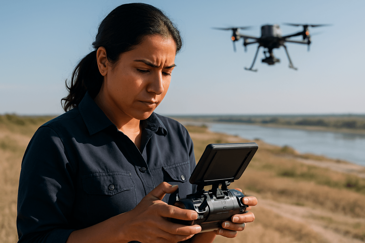
The ability to accurately predict floods is paramount for effective disaster preparedness and mitigation. Drones equipped with advanced sensors are becoming indispensable tools for gathering the crucial data needed for hydrological modeling and early warning systems.
High-Resolution Mapping and Digital Elevation Models (DEMs)
One of the most significant contributions of drones to flood prediction is their capacity to generate highly accurate and detailed Digital Elevation Models (DEMs). Traditional mapping often lacks the fine resolution required for precise flood modeling, missing crucial details like ditches and levees that influence water flow dynamics. Drones, particularly those with Light Detection and Ranging (LiDAR) technology, can create ultra-high spatial resolution terrain models and contour lines, unveiling intricate details of a landscape. This precise topographic data helps in understanding water flow patterns, identifying low-lying areas, and accurately predicting flood paths with remarkable accuracy.
Hydrological Monitoring
Drones are also revolutionizing hydrometry, the science of measuring water levels, flow rates, and discharge in water bodies. They offer a non-invasive and efficient solution compared to labor-intensive, ground-based sensors.
- Water Level and Flow Rate Measurement: RTK GPS-equipped drones can fly along river centerlines, using water level sensors to measure the distance to the water surface, extracting accurate water surface elevation profiles. By combining drone imagery with advanced image processing, researchers can also estimate flow rates and track changes in water bodies, crucial for forecasting floods.
- Sedimentation and Soil Moisture: Repeated drone deployments can track sedimentation in rivers and measure soil moisture over time, variables that play a crucial role in flood forecasting.
- Infrastructure Surveillance: Drones conduct pre-flood inspections of vulnerable infrastructure like rivers and dams, and monitor urban drainage systems to pinpoint clogged channels, preventing potential flood exacerbations.
AI Integration for Predictive Analytics
Integrating real-time drone data with historical flood records and weather forecasts enables highly accurate predictive modeling. AI-driven drones move beyond mere observation to interpret patterns, learn from irregularities, and issue proactive alerts, allowing authorities to issue early warnings, manage dams and reservoirs more effectively, and make real-time decisions during storm events. This advanced analysis can inform strategic decisions on where to place flood barriers, identify evacuation zones, and flag weak infrastructure well in advance.
Drones in Flood Aftermath Assessment: Guiding Response and Recovery
Once floodwaters strike, drones become critical assets for immediate response and long-term recovery efforts, providing vital information often inaccessible or dangerous for human responders.
Rapid Damage Assessment
Drones offer a faster, safer, and more precise way to survey affected areas after a flood. They capture high-resolution aerial imagery and data to provide comprehensive and evidence-based damage reports, giving a clear overview of the most affected areas and inaccessible regions. This rapid assessment helps decision-makers determine the extent of damage to homes, property, roads, bridges, and crops, informing the allocation of resources for cleanup, repairs, and aid.
Search and Rescue Operations
Speed is critical during disaster response. Drones can be deployed immediately to survey affected areas, locate stranded individuals or animals, and guide first responders with real-time visuals, significantly improving the speed and accuracy of rescue operations. Drones equipped with thermal imaging cameras can detect the heat signatures of trapped people, even in smoke or darkness, making them invaluable for search and rescue missions.
Infrastructure Inspection and Recovery Planning
Post-flood, drones support rapid recovery by assessing the structural integrity of bridges, roads, and buildings, which can be challenging and dangerous for human inspection. They can map residual water to identify areas at risk for disease outbreaks and capture damage done by floods for insurance claims and government aid. The 3D models and orthophoto maps collected by drones are crucial for planning the reconstruction process and inspecting critical infrastructure to ensure safety.
Environmental Impact Analysis
Floods impact not only people but also ecosystems. Drone technology assists agencies in assessing soil moisture, erosion, and vegetation health before and after floods. High-resolution environmental mapping supports strategic decisions in reforestation, erosion control, and water resource planning, especially in areas prone to repeated flooding.
Key Technologies Powering Drone Flood Applications
The effectiveness of drones in flood management is largely attributed to the sophisticated sensor payloads they carry.
LiDAR (Light Detection and Ranging)
LiDAR sensors emit laser pulses to measure distances to the ground, creating highly accurate 3D point clouds even through vegetation. This is critical for generating precise Digital Elevation Models (DEMs) used in flood modeling and understanding topography.
Multispectral and Hyperspectral Sensors
These sensors capture data across various light spectrums, providing insights into vegetation health, soil moisture levels, and the distinct spectral properties of floodwaters, aiding in mapping inundation extents.
Thermal Cameras
Thermal cameras detect heat signatures, allowing responders to locate stranded individuals in low visibility conditions (e.g., at night or through fog/smoke) and identify areas of varying water temperature.
RGB Cameras
High-resolution visible light (RGB) cameras provide clear visual documentation of flood extents, damage to infrastructure, and overall situational awareness for emergency responders.
Advantages of Drone Deployment in Flood Management
The integration of drones into flood management offers numerous benefits over conventional methods:
- Faster Deployment and Data Collection: Drones can be deployed in minutes, quickly covering vast or hard-to-reach areas where traditional ground surveys are time-consuming or inaccessible.
- Precision and High-Resolution Data: They provide improved, high-resolution photography and detailed spatial data that manned aircraft or satellites may miss, enabling more accurate mapping and modeling.
- Enhanced Safety: Drones eliminate the need for human personnel to enter dangerous flooded zones or unstable terrain, significantly reducing risk to rescuers and surveyors.
- Real-Time Situational Awareness: Drones can provide live video streams and real-time data to emergency response teams, enabling immediate decision-making and efficient resource allocation.
- Cost-Effectiveness: While initial investment exists, using drones can be more cost-effective than deploying helicopters or extensive ground crews for surveys.
- Versatile Coverage: Drones are adaptable for use in densely populated cities and remote wildernesses alike.
Challenges and Future Outlook
Despite their immense potential, the widespread adoption of drones in flood management faces challenges. Operational deployment can be complicated by adverse weather conditions, as drones are often not waterproof and cannot fly in strong winds. Regulatory constraints from civil aviation authorities also need to be navigated. Furthermore, processing the large datasets generated by drones requires significant storage and specialized software, and ensuring timely analysis within the critical 24-hour window for emergency responders remains a goal.
The future of drone applications in flood prediction and aftermath assessment is promising, with ongoing research focusing on refining detection algorithms, expanding training datasets for AI, and integrating drone data with advanced hydrological models. As drone technology continues to evolve, becoming more robust and autonomous, they will undoubtedly play an even more critical role in building resilient communities against the escalating threat of floods.


