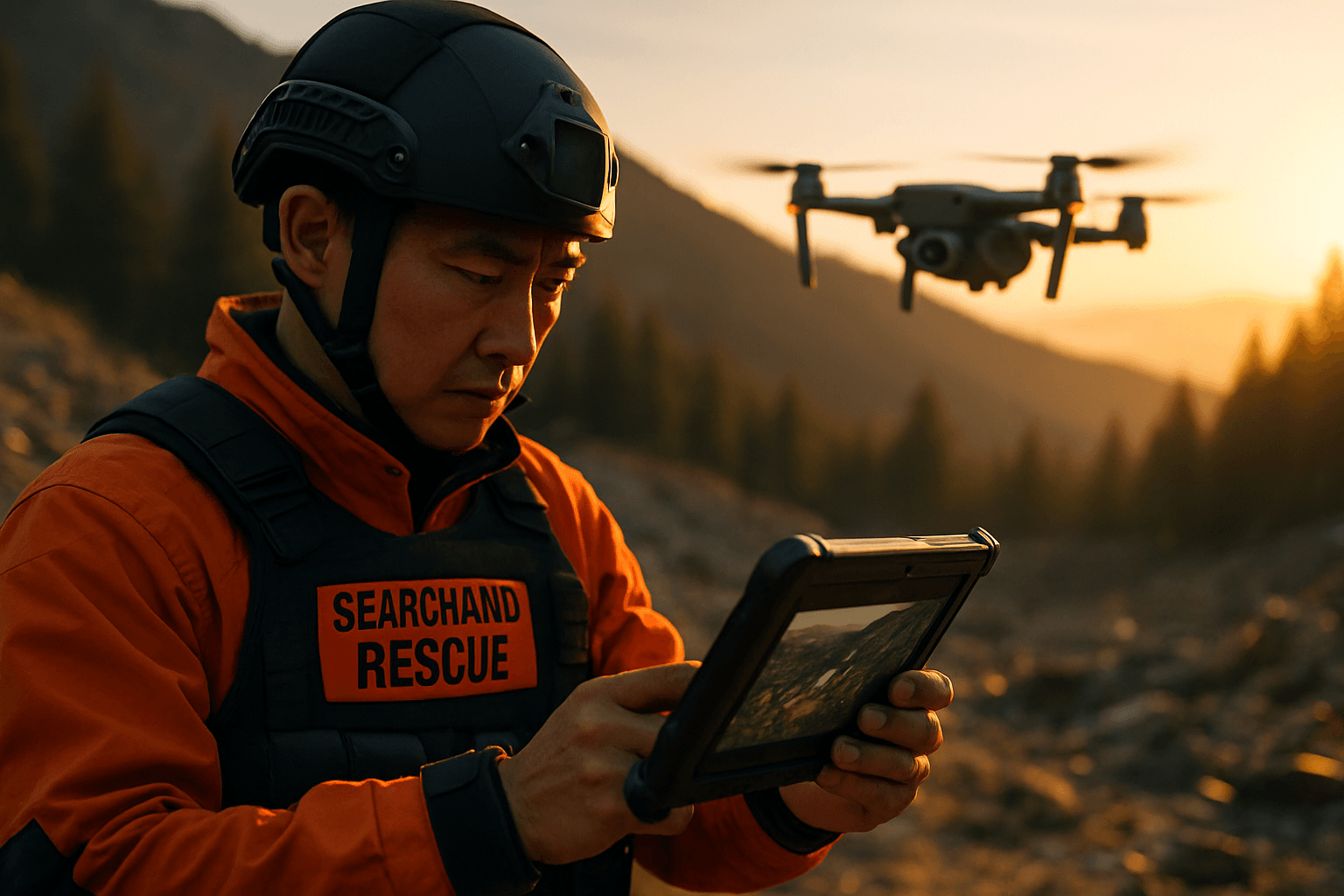
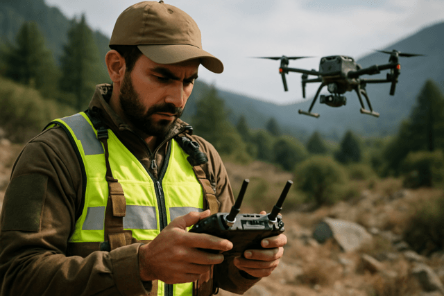
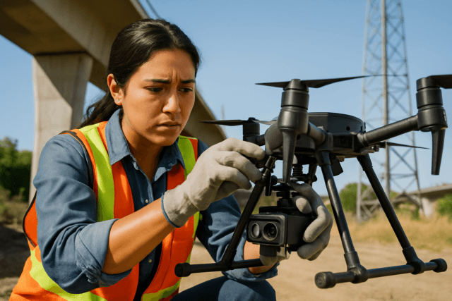
Unmanned Aerial Systems (UAS), commonly known as drones, are rapidly transforming search and rescue (SAR) operations by offering unparalleled capabilities for aerial reconnaissance, particularly in identifying potential hazards. These agile and versatile tools provide a critical advantage in emergency response, enabling SAR teams to assess dangerous environments, locate individuals, and gather vital real-time data with enhanced speed, precision, and safety.
The Strategic Advantage of Drones in Hazard Identification
Drones offer a multitude of benefits for hazard reconnaissance in SAR missions, primarily by providing an aerial perspective that is often inaccessible or too dangerous for human rescuers.
Rapid Deployment and Situational Awareness
SAR drones can be deployed within minutes, providing immediate aerial support and critical situational awareness to emergency command centers. This rapid assessment capability is crucial in the initial stages of a mission, allowing responders to quickly understand the scope of a disaster, identify safe pathways, and prioritize efforts. For instance, in urban disasters, drones can swiftly assess earthquake-damaged buildings or map flood zones to identify structural weaknesses and safe evacuation routes. In wildfire management, they provide live data on fire spread, hotspots, and safe evacuation routes, guiding firefighting efforts effectively.
Access to Inaccessible and Hazardous Areas
One of the most significant advantages of drones is their ability to access terrains that are otherwise difficult or impossible for human teams or traditional machinery to reach. This includes dense forests, rugged mountains, ravines, collapsed buildings, and flooded areas. By remotely surveying affected areas, drones minimize the exposure of rescue personnel to hazardous substances or unstable structures.
Enhanced Visibility and Data Collection
Drones equipped with advanced sensors and cameras provide clear, accurate visuals in various conditions. This enhanced visibility is critical for identifying hazards that might be missed by ground teams.
Key Sensors and Technologies for Hazard Detection
The effectiveness of drones in hazard reconnaissance hinges on their sophisticated payload capabilities, which include a variety of sensors designed to detect different types of hazards.
Thermal Imaging Cameras
Thermal cameras are essential for SAR operations, as they can detect heat signatures from humans and animals, even in challenging conditions such as complete darkness, dense smoke, fog, or through thick foliage. This capability is invaluable for locating missing persons and identifying potential hotspots in wildfires or other disaster zones. They can also be used to spot dangerous situations like water-logged solar panels on rooftops.
High-Resolution Visual Cameras
High-resolution visual cameras capture detailed imagery, allowing SAR teams to identify individuals, assess damage to infrastructure, and pinpoint specific hazards with precision. These cameras provide crucial visual documentation of the assessed area.
LiDAR Systems
Light Detection and Ranging (LiDAR) technology enables drones to create real-time, precise 3D terrain maps. This is particularly useful for structural assessments in damaged industrial facilities, identifying risks before responders enter. It also aids in active terrain following and collision avoidance in complex and unfamiliar areas.
Gas Sensors
In industrial accidents or chemical spills, drones equipped with gas sensors can detect toxic gas leaks, allowing rescue teams to assess environmental hazards remotely and minimize exposure.
Synthetic Aperture Radar (SAR)
Synthetic Aperture Radar (SAR) systems mounted on drones can provide high-resolution imagery regardless of the time of day or atmospheric conditions. SAR can detect targets in concealed environments, such as through dense foliage, making it effective for identifying hazards in obscured areas. It’s also useful for detecting long-range ground targets in noisy, cluttered environments, as it measures electromagnetic scattering properties.
Multispectral Sensors
Multispectral sensors can help identify disturbed vegetation or ground anomalies, which can be indicators of hazards like landslides or hidden obstacles.
Deployment Strategies and Data Analysis
Effective drone deployment and data analysis are paramount for maximizing their utility in hazard reconnaissance.
Strategic Flight Patterns
Drones can execute automated search patterns, which are optimized for specific terrain and conditions, ensuring thorough and systematic coverage of an area. This reduces pilot workload, allowing rescuers to focus on identifying hazards. Rapid deployment strategies, such as launching a drone from an Initial Planning Point (IPP) to capture high-resolution overlapping photos, provide invaluable visual data for quick analysis and tactical planning.
Real-Time Data Transmission and Coordination
SAR drones with live-streaming cameras and sensors can relay information instantaneously to command centers. This real-time data facilitates informed decision-making and strategic planning, allowing for efficient coordination among multiple SAR teams. Drones can also serve as temporary communication relays in areas where traditional infrastructure is compromised.
Advanced Data Analysis
The vast amounts of data generated by drones, including high-resolution images, videos, and sensor readings, require sophisticated analysis. AI and machine learning algorithms are being integrated into drone systems to automate data analysis and quickly highlight critical information, such as identifying people in aerial images. Software tools like the Automated Drone Image Analysis Tool (ADIAT) can programmatically identify “areas of interest” in digital images, even without internet connectivity. This allows for rapid processing and mapping of data into actionable intelligence.
Challenges and Future Outlook
Despite the significant advantages, the integration of drones into SAR operations faces certain challenges.
Regulatory and Technical Hurdles
Navigating complex regulatory frameworks, including restrictions on airspace and licensing requirements, can delay drone deployment during emergencies. Limited flight time and battery life remain technical constraints, although advancements in battery technology and multi-drone deployment strategies are addressing these issues. Furthermore, adverse weather conditions such as strong winds, heavy rain, or extreme temperatures can affect drone performance.
Data Management and Integration
The sheer volume of data generated by drones can lead to overload and processing bottlenecks. Effective data management, real-time analysis, and seamless integration with existing SAR tools and workflows are crucial.
Training and Public Perception
Operating advanced UAS platforms requires skill and proficiency, necessitating comprehensive training for SAR personnel. Ethical and privacy concerns, especially when operating in populated areas, also need to be addressed through transparent communication and strict data privacy measures.
The future of SAR drones is promising, with ongoing advancements in swarm technology, 5G integration for ultra-low latency data transmission, and enhanced battery technologies. These developments, combined with increasingly sophisticated AI algorithms for autonomous flight and predictive analytics, will further revolutionize how SAR teams conduct aerial reconnaissance and respond to emergencies, ultimately saving more lives.


