Drone data analysis is rapidly transforming various industries by providing actionable insights derived from aerial imagery and sensor data. By using drones, businesses and organizations can gain a unique perspective, improve efficiency, and make data-driven decisions. This article delves into the world of drone data analysis, exploring its applications, benefits, and the technologies that make it possible.
What is Drone Data Analytics?
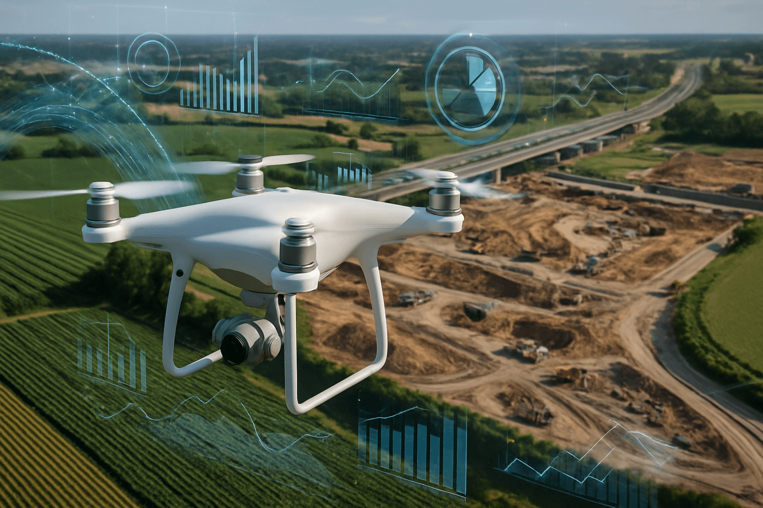
Drone data analytics involves processing, analyzing, and interpreting data collected by drones. This data can include images, videos, and sensor readings, which are then used to extract valuable information. Drone analytics incorporates tracking the drone’s flight path, creating 2D and 3D visualizations of the surveyed area, and processing these visualizations to suit user needs. The processed data is often referred to as geospatial data.
Drone analytics software uses advanced algorithms and AI to analyze the data, providing users with valuable information for decision-making across various industries.
Benefits of Drone Data Analysis
Drone data analysis offers numerous advantages across various sectors:
- Improved Efficiency: Drones can quickly survey large areas, gathering data more efficiently than traditional methods.
- Cost Reduction: By automating data collection, drone data analysis reduces labor costs and minimizes the need for expensive equipment.
- Enhanced Accuracy: Drones equipped with high-resolution cameras and sensors provide precise data, reducing the risk of errors.
- Real-Time Monitoring: Drones enable real-time monitoring of projects and environments, allowing for timely intervention and adjustments.
- Increased Safety: Drones can access hazardous areas, reducing risks to human workers.
- Actionable Insights: Analyzing drone data allows users to identify trends, anomalies, and correlations that might be invisible from the ground.
- Better Decision-Making: In fields like agriculture, urban planning, and disaster response, informed decisions based on drone data can significantly impact outcomes.
Key Features of Drone Data Analysis Software
When selecting drone data analysis software, consider the following key features:
- Data Processing Capabilities: The software should be able to process large datasets quickly and accurately.
- Advanced Algorithms: Look for software that uses advanced algorithms and AI to extract meaningful insights.
- 3D Modeling: The ability to create 3D models from drone imagery is crucial for many applications.
- Geospatial Analysis: Ensure the software supports geospatial analysis techniques for accurate mapping and surveying.
- Reporting and Visualization: The software should offer robust reporting and visualization tools to communicate findings effectively.
- Integration: Compatibility with other software and systems is essential for seamless workflows.
- User-Friendly Interface: An intuitive interface makes the software accessible to a wide range of users.
- Data Security: Prioritize software that offers strong data security and compliance with privacy regulations.
Industries Transformed by Drone Data Analysis
1. Agriculture
Drone data analytics plays a vital role in precision farming. Drones equipped with multispectral cameras capture detailed images of crops, soil, and water conditions. By processing this data, farmers can:
- Monitor crop health
- Detect diseases
- Assess nutrient levels
- Optimize irrigation
This technology enables data-driven decisions, enhancing crop yield and reducing resource wastage. Drones can also assess soil quality and plan irrigation mechanisms by mapping nearby water sources. In case of crop failures, drone data analysis can assess the extent of the damage to remunerate farmers accurately.
2. Construction and Infrastructure
In the construction and infrastructure sectors, drone data analysis offers significant advantages in project management and monitoring. Drones can quickly survey large construction sites, capturing high-resolution images and videos that provide detailed information about site conditions. Construction managers can use drone data analysis software to:
- Monitor progress
- Identify potential issues
- Ensure compliance with safety standards
This helps reduce delays, improve resource allocation, and enhance overall project efficiency.
3. Mining
Drones have become indispensable tools in the mining and quarrying industries for tasks like volumetric measurements, mineral exploration, and environmental monitoring. Drone data software processes aerial imagery to create 3D models of mines and quarries, allowing for accurate volume calculations and resource management. Drone-based data analytics also helps monitor environmental impacts, ensuring compliance with regulations and promoting sustainable practices. Mining companies deploy drones to measure the total volume of minerals underground, helping to chart the nature and depth of mines to minimize dangers and maximize output.
4. Energy
The energy sector benefits significantly from drone data analysis, particularly in the inspection and maintenance of infrastructure. Drones can inspect:
- Power lines
- Wind turbines
- Solar panels
- Oil and gas pipelines
By identifying potential issues early, companies can prevent costly downtime and ensure the safe and efficient operation of energy assets.
5. Environmental Monitoring
Drones are invaluable for environmental monitoring, offering a cost-effective and efficient way to assess ecological conditions. They can be used to monitor:
- Deforestation
- Pollution levels
- Wildlife populations
- Coastal erosion
Drone data analysis helps environmental agencies make informed decisions to protect and preserve natural resources.
6. Urban Planning
Urban planners use drone data analysis to create detailed maps and 3D models of cities. This information is used for:
- Infrastructure planning
- Traffic management
- Disaster preparedness
- Monitoring urban growth
By providing a bird’s-eye view of urban areas, drones enable more effective and sustainable urban development.
7. Disaster Response
In disaster response scenarios, drones provide real-time situational awareness, helping emergency responders assess damage and coordinate relief efforts. Drones can:
- Locate survivors
- Deliver supplies
- Assess structural damage
- Map affected areas
This information is critical for saving lives and minimizing the impact of disasters.
Tools for Drone Data Analysis
Several software and platforms are available for drone data analysis, each offering unique features and capabilities. Some of the popular tools include:
- DroneDeploy: A comprehensive platform used across various industries, including construction, oil and gas, and renewable energy. It automates reality capture using advanced technologies and provides AI-powered analysis.
- Kespry: A drone-based aerial intelligence platform designed for industrial use, offering a user-friendly interface for collecting, analyzing, and disseminating business insights.
- ArcGIS: A geographic information system (GIS) specializing in spatial and geographic information solutions. It focuses on collecting, storing, managing, and analyzing physical and spatial data.
- Pix4D: Software that specializes in turning drone images into 3D models and maps.
- Agremo: A tool for processing multispectral drone imagery, particularly useful for agricultural applications.
- QGIS: A free and open-source GIS software for working with spatial data.
- One3D: Specializes in turning drone images into 3D models.
Techniques for Mastering Drone Data Analysis
- Multispectral Image Analysis: Pinpoint areas of stressed or unhealthy vegetation by analyzing drone-captured multispectral images.
- Change Detection: Monitor construction progress or assess environmental changes by analyzing images of the same area captured at different times.
- Machine Learning: Automate tasks like object recognition or anomaly detection by training advanced algorithms and machine learning models on drone data.
The Future of Drone Data Analysis
The future of drone data analysis is promising, with ongoing advancements in drone technology, AI, and data analytics. As drones become more sophisticated and data processing techniques improve, we can expect even more innovative applications across industries. The integration of AI and machine learning will automate more tasks, providing deeper insights and enabling faster decision-making. As regulations evolve to accommodate drone operations, the widespread adoption of drone data analysis will continue to transform industries and improve our understanding of the world around us.


