Savanna ecosystems, vital for global biodiversity and climate regulation, are increasingly vulnerable to prolonged and severe droughts exacerbated by climate change. Traditionally, monitoring the vast, often inaccessible expanses of savannas for drought impact has been a labor-intensive and challenging endeavor, relying on limited ground surveys or coarse satellite data. However, the advent of drone technology is rapidly transforming this field, offering unprecedented precision, flexibility, and real-time data collection capabilities for mapping and analyzing the ecological consequences of drought.
The Urgent Need for Advanced Drought Monitoring
Droughts profoundly impact savanna ecosystems, leading to changes in vegetation structure, reduced biomass, increased tree mortality, and altered fire regimes. Accurately assessing these impacts is crucial for developing effective conservation strategies and informing land management decisions. Traditional methods, such as ground surveys, are time-consuming, expensive, and limited in spatial coverage. While satellite systems like NASA’s Soil Moisture Active Passive (SMAP) satellite provide valuable regional data, their resolution (e.g., 36 km, or 3 km when combined with radar) is often insufficient for detailed local analysis needed for swift decision-making and precise interventions.
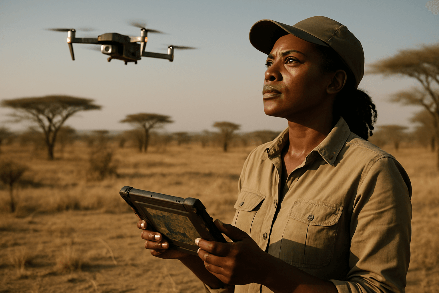
This gap in high-resolution, localized data has created a pressing need for more agile and precise monitoring tools. Drones, or Unmanned Aerial Vehicles (UAVs), are emerging as a powerful solution, capable of operating below cloud cover and collecting granular data from vast and hard-to-reach areas.
How Drones Enhance Savanna Drought Analysis
Drones equipped with advanced sensor payloads offer a multi-faceted approach to understanding drought’s effects on savanna ecosystems. They provide detailed insights into various drought indicators, from soil moisture and plant health to changes in vegetation structure and even animal behavior.
High-Resolution Mapping of Vegetation Structure
One of the primary advantages of drones is their ability to generate highly detailed 2D and 3D maps of the terrain and vegetation.
- LiDAR (Light Detection and Ranging): LiDAR sensors emit laser pulses to measure distances and create precise 3D maps of the Earth’s surface. This technology is invaluable for penetrating dense vegetation, allowing researchers to capture data on the top, mid, and lower vegetation layers, as well as the ground below. In savannas, LiDAR can provide detailed information about vegetation height, density, canopy cover, and overall forest biomass, which are critical indicators of ecosystem health and carbon storage potential. It can also delineate woody vegetation clusters and approximate tree size, providing insights into competitive processes.
- RGB (Red, Green, Blue) and Multispectral Cameras: These cameras capture high-resolution imagery, which can be used to assess plant health, identify changes in vegetation types, and map the distribution of individual plant species. Multispectral cameras provide information on plant health, enabling rapid and accurate analysis of drought stress through vegetation indices like the Normalized Difference Vegetation Index (NDVI). This is crucial for directing relief measures to areas most in need.
Detecting Physiological Stress and Water Scarcity
Beyond structural mapping, drones can detect subtle physiological changes in plants that indicate early signs of drought stress.
- Hyperspectral Imaging: Hyperspectral cameras capture light across a wide spectrum of wavelengths, providing detailed spectral signatures that reveal changes in leaf chemistry, water content, and chlorophyll levels. This allows scientists to detect plant stress even before visible symptoms appear, offering an early warning system for drought. Studies have shown that hyperspectral data can effectively detect changes in maize reflectance and physiology under drought induction.
- Thermal Imaging: Thermal cameras measure surface temperature, which can indicate plant stress levels. Plants under drought stress tend to close their stomata to conserve water, leading to an increase in leaf temperature due to reduced evaporative cooling. Drones equipped with thermal sensors can detect these temperature anomalies, providing real-time data on water consumption and allowing for the assessment of drought tolerance in different plant varieties.
Monitoring Hydrological Changes
Drones also play a role in monitoring water resources directly and indirectly.
- Soil Moisture Mapping: By combining LiDAR data with multispectral and thermal imagery, drones can provide intricate details about soil moisture levels. This is vital for understanding water availability in the savanna and predicting shortages in water bodies.
- Leak Detection: Drones equipped with LiDAR can even detect leaks in water distribution pipes by identifying areas of sinking ground or increased soil wetness, which is particularly useful for monitoring extensive irrigation systems.
Data Processing and Analysis for Ecological Insights
Collecting vast amounts of drone data is only the first step. Advanced data processing and analytical techniques are crucial for translating raw data into actionable ecological insights.
- Photogrammetric Analysis: This involves processing images to create accurate 3D maps and models, including high-resolution canopy height models (CHMs).
- Georeferencing and Noise Filtering: Raw drone data can be distorted by wind and aircraft dynamics. Software uses GPS/IMU (Global Positioning System/Inertial Measurement Unit) data to georectify (correct) the images and filter out unwanted signals, ensuring data accuracy.
- Machine Learning and AI: AI models and deep learning algorithms, such as convolutional neural networks (CNNs) and Support Vector Machines (SVM), are increasingly used to analyze diverse drone-collected data. These algorithms can classify tree species based on canopy colors and morphologies, identify drought-stressed plants with high accuracy, and even predict drought conditions. They streamline the processing of large datasets and provide interpretations and predictions that are more useful for land managers.
Challenges and Future Outlook
Despite the significant advantages, the widespread adoption of drones for savanna drought monitoring faces certain challenges. Technical issues like battery life and data processing times need improvement, especially for monitoring extremely vast areas. Regulatory hurdles regarding beyond visual line of sight (BVLOS) missions also exist. Furthermore, human observers remain essential for reviewing the immense amount of data collected, highlighting the need for further advancements in automatic processing.
However, rapid improvements in drone hardware and software, coupled with increased collaboration between government and private sectors, are expected to overcome these limitations. Projects like those funded by the Australian Government are developing methods to integrate drone, satellite, and indigenous knowledge for large-scale savanna and desert vegetation monitoring.
Ultimately, drones are proving to be a revolutionary tool in environmental monitoring and conservation. Their ability to provide high-resolution, real-time data from remote and challenging savanna environments is transforming our understanding of drought impacts, facilitating evidence-based decision-making, and significantly contributing to the development of sustainable conservation and management strategies for these critical ecosystems. The future of savanna ecology and drought resilience is increasingly taking flight.


