The Earth’s crust is a dynamic canvas, constantly reshaped by the slow, inexorable movement of tectonic plates. Along the boundaries where these plates meet, seismic fault lines crisscross the landscape, silent indicators of immense geological stress. Monitoring these fault lines is paramount for understanding earthquake risks, predicting potential seismic events, and ultimately, safeguarding human lives and infrastructure. Traditionally, this has been a labor-intensive and often hazardous endeavor, but the advent of drone technology is rapidly transforming the field, offering unprecedented levels of detail, efficiency, and safety in seismic monitoring.
The Critical Importance of Seismic Fault Line Monitoring
Seismic fault lines are fractures in the Earth’s crust where blocks of rock have moved relative to each other. These movements, often sudden and violent, release colossal amounts of energy, resulting in earthquakes. Understanding the behavior of these faults – their location, geometry, past activity, and current stress accumulation – is fundamental to seismology and disaster preparedness. By tracking subtle changes in the Earth’s surface and subsurface near these faults, scientists can gain crucial insights into crustal deformation, which is a key precursor to seismic events.
Traditional methods of monitoring fault lines typically involve ground-based surveys, satellite imagery, and the deployment of a vast network of seismographs. While effective, these methods can be slow, expensive, geographically limited, and sometimes put human researchers at risk, especially in remote, unstable, or post-disaster areas. The sheer scale and ruggedness of many fault zones also pose significant logistical challenges to comprehensive data collection.
Drone Technology: A Paradigm Shift in Geophysical Exploration
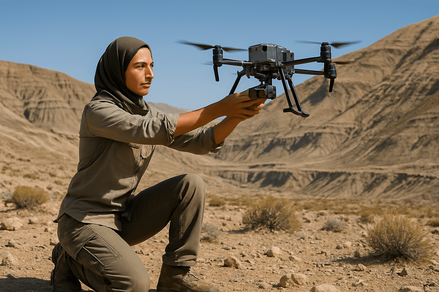
Unmanned Aerial Vehicles (UAVs), commonly known as drones, are emerging as a game-changer in geophysical exploration and seismic monitoring. Equipped with advanced sensors, these agile platforms can access previously inaccessible terrain, collect high-resolution data rapidly, and operate with significantly reduced risk to personnel. This versatility allows for a more holistic and dynamic approach to understanding the complex processes occurring along seismic fault lines.
Advanced Sensors for Comprehensive Fault Analysis
The power of drones in seismic monitoring lies in their ability to carry a diverse array of sophisticated sensors, each providing unique insights into fault line dynamics:
- LiDAR (Light Detection and Ranging): LiDAR drones are particularly invaluable. They emit laser pulses and measure the time it takes for these pulses to return, creating highly detailed 3D models of the Earth’s surface. This technology can penetrate vegetation, generating precise digital elevation models (DEMs) and digital surface models (DSMs) that reveal subtle ground deformation, fault scarps, and other tectonic landforms that would otherwise be obscured. By comparing pre- and post-event LiDAR data, scientists can accurately measure ground surface displacement and map surface ruptures caused by earthquakes.
- Thermal Imaging Cameras: Drones equipped with thermal sensors can detect minor temperature fluctuations on the ground’s surface. These variations can signal active faults, revealing friction or geothermal activities beneath the surface. Thermal imaging also plays a critical role in post-disaster assessment, helping locate survivors by detecting body heat under debris and assessing structural damage.
- Multispectral Cameras: These cameras capture images across various wavelengths, allowing for the analysis of vegetation health through indices like NDVI (Normalized Difference Vegetation Index). Geological disruptions, such as fault zones, can impact vegetation health, providing indirect indicators of underlying anomalies.
- Drone-Mounted Geophones: Traditional seismic surveys rely on geophones to measure ground vibrations. Drones are now being developed to deploy and even carry geophones, enabling the collection of seismic data in difficult or hazardous terrains without extensive manual labor. These geophones can listen for echoes and vibrations, storing information onboard or transmitting it in real-time.
- Gas Sensing Systems: Some fault lines can be associated with the emission of gases, such as methane or other volatile organic compounds. Drones outfitted with specialized gas sensors, like optical gas imaging (OGI) cameras or laser-based systems, can detect and quantify these gas leaks, even in remote or hazardous areas, contributing to a more comprehensive understanding of fault activity.
Key Applications of Drones in Seismic Fault Line Monitoring
The integration of these advanced sensors with drone platforms has opened up numerous applications:
- High-Resolution Fault Mapping: Drones facilitate the creation of detailed 3D models of fault lines, enhancing researchers’ ability to understand fault geometry and predict future seismic events. This is particularly beneficial for mapping fault geomorphology, even beneath dense vegetation.
- Ground Deformation Measurement: Accurate measurement of ground surface displacement is crucial for determining the extent and impact of earthquakes. Drones, especially with LiDAR, provide precise data on crustal deformation, which results from tectonic forces accumulating in the Earth’s crust.
- Real-time Monitoring: Emerging technologies are enabling real-time monitoring of seismic activity using drone-based LiDAR and other sensors, providing valuable information for early warning systems and emergency response. Researchers at the University of Tokyo, for instance, have developed a seaplane-type UAV for high-precision, real-time seafloor measurements, crucial for monitoring megathrust earthquake zones like the Nankai Trough.
- Post-Earthquake Damage Assessment: After a seismic event, drones can rapidly assess damage, create orthomosaics of affected areas, and identify hazards, helping emergency responders allocate resources efficiently. Thermal drones can locate survivors in collapsed structures by detecting body heat signatures.
- Exploration of Inaccessible Areas: Drones can access remote and hazardous locations, such as active volcanic regions or unstable terrains, that are too dangerous or difficult for human access. This capability provides a more comprehensive understanding of seismic activity by gathering data from previously unreachable sites.
Advantages of Drone-Based Seismic Monitoring
The shift towards drone integration offers significant benefits over traditional methods:
- Enhanced Safety: Operating drones remotely minimizes human exposure to hazardous environments, greatly improving the safety of monitoring operations.
- High-Resolution Data: Drones can capture incredibly detailed data, enabling researchers to create precise models and identify subtle changes indicative of seismic activity.
- Improved Operational Efficiency and Cost-Effectiveness: Drones can cover larger areas in less time than ground-based teams, reducing the need for extensive ground crews and resulting in significant cost savings and faster project completion.
- Flexibility and Versatility: Drones can be equipped with various sensors, making them highly adaptable to different monitoring needs and environments.
- Real-time Decision Making: The ability to transmit data in real-time allows for immediate review and on-the-fly adjustments to acquisition plans, leading to quicker and better decision-making during active monitoring or emergency response.
Challenges and Future Outlook
Despite the numerous advantages, challenges remain in maximizing the use of drones for seismic monitoring. These include limitations in drone flight time and payload capacity for heavier geophysical sensors, as well as the need to account for environmental factors like high winds. Accurate data requires stable flight paths and precise navigation, which relies on advanced flight control systems and GPS.
However, the future of drone-based seismic monitoring looks exceptionally promising. Advancements are focused on:
- AI and Machine Learning Integration: These technologies are being integrated into data processing systems to enhance the interpretation of seismic data and potentially improve earthquake prediction models, shifting focus from quick detection to advanced prediction.
- Extended Endurance and Hybrid Systems: High-capacity batteries and energy-efficient motors are extending flight durations, and hybrid energy systems are being explored to further enhance operational range.
- Autonomous Navigation and Swarm Technology: Further development in autonomous navigation will enable drones to perform complex missions with minimal human intervention. Research is also exploring heterogeneous robotics teams, including drone swarms, for large-scale sensor deployment.
- Global Coverage and Satellite Integration: Satellite-based LiDAR and drone systems could eventually provide global coverage, making it easier to monitor remote areas and integrate with existing seismic monitoring networks.
Drones are undeniably revolutionizing the way we approach seismic fault line monitoring. By providing safer, more efficient, and highly detailed data collection capabilities, they are empowering scientists with unprecedented tools to study the Earth’s dynamic processes, improve earthquake prediction efforts, and enhance disaster preparedness for a more resilient future.


