In an era demanding greater efficiency and sustainability from agriculture, farmers are constantly seeking innovative solutions to optimize crop production. One such advancement, variable rate seeding (VRS), is being revolutionized by the integration of drone technology, allowing for unparalleled precision in planting and resource management. This synergy between aerial robotics and agronomy is fundamentally transforming how fields are sown, promising higher yields and a reduced environmental footprint.
What is Variable Rate Seeding (VRS)?
Variable rate seeding (VRS) is a core component of precision agriculture, moving away from uniform seed application across an entire field. Instead, VRS involves adjusting seed density based on localized soil and environmental conditions within different management zones of a field. The goal is to plant the optimal number of seeds in each specific area, rather than applying a blanket rate that may lead to over-seeding in low-potential zones and under-seeding in high-potential ones. This tailored approach considers critical variables such as soil type, topography, moisture retention, fertility levels, and historical yield data to maximize crop performance and resource efficiency.
Historically, identifying these nuanced field variations required extensive manual sampling or less precise satellite imagery. However, drones have emerged as a game-changer, providing highly detailed, real-time data that empowers farmers to implement VRS with unprecedented accuracy.
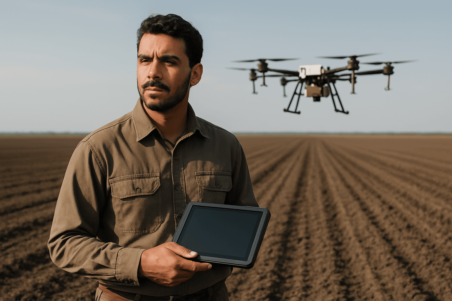
The Drone’s Role: Data Collection for Precision
Drones, or Unmanned Aerial Vehicles (UAVs), are pivotal in facilitating variable rate seeding by acting as sophisticated data collection platforms. They gather granular information about field conditions, which is essential for creating precise seeding prescriptions.
Sensors for Comprehensive Data Acquisition
Modern agricultural drones are equipped with an array of advanced sensors designed to capture diverse data types:
- Multispectral and Hyperspectral Cameras: These cameras capture images across different light spectra, revealing details about plant health, chlorophyll levels, and stress that are invisible to the human eye. This data helps assess existing vegetation and potential productivity.
- LiDAR (Light Detection and Ranging): LiDAR sensors create highly accurate 3D maps of the terrain, providing crucial information on elevation, slope, and drainage patterns.
- Thermal Sensors: Thermal imaging can identify variations in crop canopy temperature, indicating areas of water stress or disease.
- Standard RGB Cameras: High-resolution visible light cameras are used for basic field mapping, plant counting, and monitoring crop establishment.
Types of Data Collected
The data collected by these advanced drone sensors includes:
- Soil Conditions: Drones can infer soil texture, organic matter content, moisture levels, electrical conductivity (ECa), and even nitrogen levels in the soil, which are critical for determining optimal seeding rates.
- Topography: Detailed elevation maps help identify drainage patterns and wet/dry spots, guiding seeding strategies for consistent moisture availability.
- Existing Vegetation and Crop Health: Multispectral data can generate vegetation indices like NDVI (Normalized Difference Vegetation Index), indicating areas of vigorous growth versus stressed or underperforming spots. This data can also be used to create establishment maps of previous crops.
- Historical Yield Data: While often collected by combine harvesters, drone data can be integrated with historical yield maps to identify areas of consistent high or low productivity.
Accuracy and Efficiency Advantages
Drones offer significant advantages over traditional data collection methods. Unlike satellite imagery, which can be affected by cloud cover and offers lower resolution, drones fly closer to the fields, providing sub-centimeter to millimeter-level accuracy and operating effectively even in less-than-ideal light conditions. They can rapidly cover vast areas, making data collection time-efficient compared to manual scouting and sampling.
From Data to Prescription Maps: Guiding the Seeder
The raw data collected by drones is not immediately actionable. It must be processed and analyzed using specialized software to generate “prescription maps.”
First, the drone data is processed to create detailed field maps. Agronomists or advanced software then use this information to define “management zones” within the field. These zones are areas that share similar characteristics and therefore require a consistent seeding strategy. For example, a zone with rich, well-draining soil might be prescribed a higher seeding rate to maximize yield potential, while a drier, less fertile area might receive fewer seeds to prevent overcrowding and resource competition.
Multilayer mapping features allow for combining various data sources—such as soil samples, yield maps, and drone-derived elevation and vegetation data—to build robust seeding prescriptions. These prescription maps, often in a SHAPE-file format, are then uploaded to the drone’s flight control system or a variable-rate capable planter.
Precision Application with Drones
With the prescription map loaded, the drone transitions from data collector to precision applicator, executing the variable rate seeding plan with remarkable accuracy.
Drone Seeding Mechanisms
Drones equipped for seeding utilize specialized mechanisms to disperse seeds precisely. These can include:
- Pneumatic Systems: Seeds are loaded into a hopper and ejected with controlled air pressure, ensuring uniform distribution and allowing for adjustments to the release rate.
- Gravity-Fed Systems: These systems use precision metering to drop seeds at specific locations, often integrated with advanced flight controls.
These mechanisms are designed to handle different seed types and sizes, ensuring accurate dispensing and placement.
GPS and Advanced Flight Control
The high precision of drone seeding relies heavily on sophisticated navigation and flight control technologies:
- Global Navigation Satellite Systems (GNSS): Systems like GPS, GLONASS, or Galileo provide the drone with centimeter-level positional accuracy, enabling it to follow precisely defined flight paths.
- Real-Time Kinematic (RTK) Technology: RTK enhances GPS accuracy, allowing for centimeter-level precision in seed placement, minimizing overlaps and gaps.
- Sophisticated Flight Control Systems: These systems ensure stable and controlled flight, even in varying wind conditions, maintaining consistent seed placement and distribution across the target area. Drones can autonomously execute seeding missions, following the uploaded prescription map.
Real-time Adjustment and Feedback
In some advanced applications, drones can even adjust their seeding parameters in real-time based on sensor feedback during the mission. This adaptive capability ensures that the seed rate remains perfectly aligned with the micro-variations encountered during flight.
Key Benefits of Drone-Enabled Variable Rate Seeding
Integrating drones into variable rate seeding offers a multitude of benefits for modern agriculture:
- Improved Seed Placement Accuracy and Germination: Drones ensure seeds are placed at optimal locations and depths, maximizing germination rates and seedling vigor. This precision reduces seed wastage and promotes uniform crop stands.
- Optimized Resource Utilization: By tailoring seed rates to specific field conditions, farmers can reduce overall seed consumption, leading to significant cost savings. This targeted approach also applies to other inputs like fertilizers and pesticides, reducing waste and environmental impact.
- Enhanced Yields and Profitability: Matching plant populations to the field’s productivity zones maximizes the yield potential of each area. By reducing costs and increasing output, overall farm profitability is enhanced.
- Accessibility to Difficult Terrains: Drones can easily access and seed areas that are challenging or impossible for traditional heavy machinery, such as steep slopes, waterlogged fields, or remote locations.
- Reduced Soil Compaction: As drones operate aerially, they eliminate the need for heavy tractors to traverse fields during seeding, significantly reducing soil compaction and maintaining healthier soil structure.
- Environmental Sustainability: By precisely applying seeds and other inputs, drones help minimize nutrient runoff, reduce chemical usage, and contribute to more sustainable farming practices.
Challenges and Future Outlook
Despite the immense potential, the widespread adoption of drone-enabled VRS faces challenges such as the initial investment cost for drone technology and specialized sensors, the need for robust data processing software, and the requirement for farmers to develop new skills in data interpretation and drone operation. Regulatory frameworks for drone usage in agriculture are also continually evolving.
Looking ahead, continued advancements in artificial intelligence (AI) and machine learning (ML) will further enhance the ability to analyze drone data, predict yields, and refine seeding prescriptions. The integration of drone swarms for even greater efficiency and sophisticated seed dispersal technologies are also on the horizon.
Conclusion
Drones are no longer just futuristic gadgets; they are indispensable tools in the ongoing evolution of precision agriculture. By providing highly accurate, real-time data on field variability and enabling precise seed application, drones are profoundly facilitating variable rate seeding. This technological integration empowers farmers to make data-driven decisions, leading to optimized resource use, higher yields, and a more sustainable and profitable agricultural future.


