Across the globe, ancient ruins, historic buildings, and sacred landscapes face relentless threats from environmental decay, natural disasters, urban development, and illicit activities. Safeguarding these invaluable cultural heritage sites has traditionally been a monumental, often dangerous, and resource-intensive endeavor. However, the advent of Unmanned Aerial Vehicles (UAVs), commonly known as drones, is revolutionizing this critical field, offering a powerful, precise, and often non-invasive means to monitor, document, and protect humanity’s shared past.
The Growing Vulnerability of Global Heritage Sites
Cultural heritage sites, whether towering monuments or hidden archaeological remains, are finite and irreplaceable resources. Their preservation is essential for understanding human history, identity, and artistic achievement. Yet, these sites are increasingly vulnerable. Factors such as climate change-induced erosion, natural disasters like earthquakes and floods, and human-caused threats such as looting, vandalism, and unregulated construction pose constant dangers. Traditional methods of monitoring and documenting these vast and often remote locations are slow, costly, and can sometimes be intrusive, risking further damage to fragile structures.
Drones: A Modern Guardian in the Skies
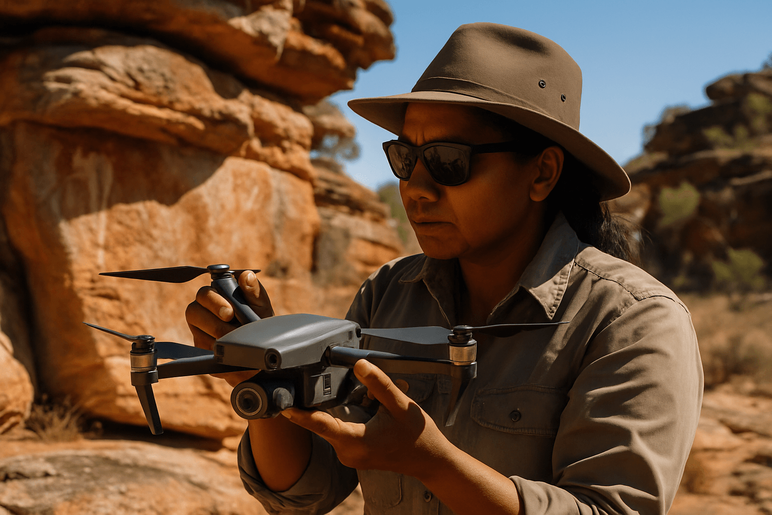
Drones equipped with advanced sensors and cameras have emerged as a versatile solution, providing heritage professionals with an aerial perspective and data collection capabilities previously unimaginable. These devices can reach areas that are difficult or impossible for humans to access, offering detailed insights without physical intervention.
Enhanced Surveillance and Monitoring
One of the primary applications of drones is for regular surveillance and monitoring of large or remote heritage sites. They can quickly cover vast tracts of land, identifying changes in the landscape, structural integrity of buildings, or potential signs of intrusion. High-resolution imagery captured by drones allows for detailed analysis of features like high-level wall tops and roof conditions, enabling proactive conservation measures. This is particularly useful in deterring illicit activities such as illegal logging, mining, poaching, or trespassing, which can severely damage culturally significant areas.
High-Resolution Mapping and Documentation
Drones are invaluable for creating highly accurate and detailed maps and 3D models of cultural heritage sites. Equipped with high-resolution cameras, multispectral imaging units, and LiDAR (Light Detection and Ranging) scanners, they capture millions of data points, producing precise point clouds and geometrically corrected orthophotos.
This capability allows for:
- 3D Reconstruction: Using photogrammetry (processing overlapping still images), drones generate comprehensive 3D models of buildings, monuments, and landscapes. These models are crucial for planning restoration work, assessing damage, and creating digital archives for future generations.
- LiDAR Mapping: LiDAR technology can penetrate dense vegetation, revealing hidden archaeological structures or intricate details that traditional methods might miss. This allows archaeologists to create highly accurate elevation data and precise 3D maps even in challenging terrains.
- Topographical Data: Drones can generate digital surface models (DSMs) and digital elevation models (DEMs), providing essential topographical data for understanding site layouts and features.
Rapid Response and Damage Assessment
In the aftermath of natural disasters or acts of vandalism, drones can be deployed rapidly to assess damage without risking human lives. Their ability to quickly capture images and create 3D models allows heritage managers to understand the extent of damage and plan emergency conservation efforts efficiently.
Deterring Illicit Activities
Beyond documentation, drones serve as a deterrent against looting, vandalism, and unauthorized encroachment. Regular aerial patrols by drones equipped with zoom cameras or thermal imaging can monitor large or secluded lands, helping to spot and respond to intrusions in real-time, even at night. This is vital for protecting sites from ongoing threats, especially in areas prone to such dangers.
Key Advantages of Drone Technology in Heritage Protection
The adoption of drone technology brings several significant benefits to the field of cultural heritage preservation:
Cost-Effectiveness and Accessibility
Compared to traditional aerial photography involving helicopters or manned aircraft, or extensive ground surveys requiring large teams and scaffolding, drones offer a significantly more affordable solution. They reduce the need for expensive equipment and extensive labor, making advanced documentation and monitoring accessible to a wider range of heritage organizations.
Minimizing Human Risk and Impact
Drones eliminate the need for human personnel to access dangerous or hard-to-reach areas, such as unstable structures, cliffs, or remote archaeological sites, thereby improving safety for archaeologists and conservationists. Furthermore, their non-invasive nature means they can collect data from a distance without disturbing fragile artifacts or structures, reducing the risk of accidental damage to the site itself.
Data Accuracy and Precision
The high-resolution sensors and advanced imaging capabilities of modern drones provide unparalleled accuracy and precision in data collection. This detailed data is crucial for precise analysis, interpretation, and guiding restoration and conservation efforts. The ability to capture data from multiple angles and altitudes allows for a comprehensive understanding of a site’s layout, topography, and features.
Real-World Applications and Success Stories
Drones are already making a tangible difference in cultural heritage protection worldwide:
- Cyprus: UAVs have been extensively used to document and monitor numerous archaeological and cultural heritage sites across the island, providing high-resolution imagery and 3D models.
- Egypt: Projects in Egypt have successfully deployed drones to map and document ancient pyramids and tombs in the Valley of the Kings, gathering crucial information about these monumental structures.
- Canada: Indigenous communities are leveraging drones to document sacred sites and cultural landscapes with unprecedented detail. Drones equipped with LiDAR have even been used to locate unmarked graves at a former residential school, providing critical data for honoring lost children.
- Italy and Romania: Drones have assisted in creating 3D models of significant architectural heritage, such as the Santo Stefano Church in Italy and the Halmyris Citadel in Romania, supporting their preservation and restoration.
- United Kingdom: Historic England has utilized drone-acquired imagery since 2008 for recording historic buildings, monuments, and archaeological landscapes, demonstrating a long-standing commitment to this technology. One recent project involved digitizing St Peter and St Paul’s Church in Cambridgeshire to support its conservation.
- South Africa: In Cape Town, UAV mapping technologies have been applied to document the cultural heritage of District Six, a historically significant area, aiding in heritage conservation, urban planning, and education.
Challenges and Considerations for Drone Use
Despite their numerous benefits, the deployment of drones in cultural heritage protection is not without its challenges. Ethical concerns, particularly regarding privacy and surveillance, are paramount, especially when operating near local communities or sensitive sites. Negative public perception and conservative organizational policies can also hinder adoption.
Furthermore, the complexity of planning and logistics, including navigating evolving flight regulations, obtaining necessary permits, and adhering to no-fly zones, requires careful consideration and expertise. Technical knowledge and digital literacy are essential for operating drones effectively and processing the vast amounts of data they collect. Ensuring data governance, particularly when working with Indigenous communities, is critical to ensure that information is used respectfully and for their benefit, avoiding the recording of sensitive information in open-access databases or the exposure of restricted sacred sites.
The Future of Drone-Assisted Heritage Protection
As drone technology continues to evolve, its role in cultural heritage preservation is poised to become even more vital. Advances in artificial intelligence, autonomous flight, and sensor capabilities will further enhance their efficiency and accuracy. The integration of drone data with other digital tools, such as Building Information Modeling (BIM) and Geographic Information Systems (GIS), is creating comprehensive digital twins of heritage sites, enabling holistic management and deeper analysis.
The future envisions drones not just as tools for documentation, but as integral components of sustainable heritage management strategies, offering new possibilities for education, virtual exploration, and engaging diverse audiences with historical sites for generations to come. By combining traditional wisdom with cutting-edge technology, humanity can create a more robust defense for its irreplaceable cultural treasures.


