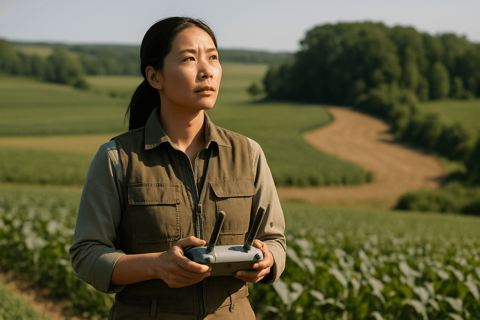
Precision agriculture relies heavily on accurate data, and drone mapping has emerged as an indispensable tool for gathering detailed insights into crop health, soil conditions, and topography. However, the unique challenges posed by irregular field shapes demand specialized techniques to ensure optimal data capture and analysis. This guide explores the best drone mapping approaches for these non-uniform agricultural landscapes.
Understanding the Challenge of Irregular Field Geometries
Unlike neatly rectangular fields, irregularly shaped agricultural areas present several hurdles for drone mapping. These include inefficient flight paths that can lead to wasted battery life, inconsistent data quality due to varying distances from the ground, and difficulties in generating accurate orthomosaics and 3D models. Traditional grid patterns, while effective for regular fields, can be highly inefficient and even incomplete when dealing with complex boundaries, obstacles, or varying terrain within an irregular field.
Essential Drone Mapping Technologies for Precision Agriculture
Effective drone mapping, especially for irregular fields, hinges on integrating advanced hardware and software.
High-Resolution Cameras and Sensors
Drones deployed for precision agriculture are equipped with various sensors to capture comprehensive data. High-resolution RGB cameras provide detailed visual images for monitoring growth stages and detecting weeds. Multispectral sensors are crucial for assessing plant health, revealing stress, and identifying nutrient deficiencies by capturing data beyond the visible spectrum (e.g., near-infrared). Thermal imaging detects temperature variations, indicating irrigation issues or disease outbreaks. LiDAR technology, though more expensive, can precisely map the shape of the earth, even through dense vegetation, offering highly accurate topographical data.
RTK/PPK GNSS Systems for Enhanced Accuracy
Achieving centimeter-level accuracy is paramount in precision agriculture. Real-Time Kinematic (RTK) and Post-Processed Kinematic (PPK) Global Navigation Satellite System (GNSS) systems significantly improve positional accuracy compared to standard GPS.
- RTK (Real-Time Kinematic): Corrects GPS positions instantly during flight by connecting the drone to a base station or a CORS (Continuously Operating Reference Station) network. This provides immediate access to high-accuracy data, streamlining fieldwork by reducing or, in ideal conditions, eliminating the need for ground control points (GCPs). However, RTK requires a stable, real-time connection, and accuracy can drop if the signal is lost.
- PPK (Post-Processed Kinematic): Records GNSS positioning data during flight, and corrections are applied after the mission by comparing the drone’s GPS data with data from a ground reference station. PPK is generally more robust and can be more accurate than RTK in areas with weak signals or obstructions, as it doesn’t rely on a constant real-time connection.
Both RTK and PPK drones are highly advantageous for precision agriculture, delivering the centimeter-level accuracy needed for tasks like variable rate applications and precise field boundary mapping.
Advanced Flight Planning Software
Specialized flight planning software is the cornerstone of efficient drone mapping for irregular fields. Tools like Pix4D, DroneDeploy, UgCS, and DJI GS Pro allow operators to predefine routes, altitudes, speeds, and camera settings. Many of these platforms offer offline planning capabilities, which are crucial for remote agricultural sites without reliable internet access.
Optimizing Flight Planning for Irregular Geometries
The key to successful mapping of irregular fields lies in intelligent flight path generation that maximizes coverage and data quality while minimizing flight time and battery usage.
Perimeter-Following vs. Grid Patterns
While standard grid patterns are common for uniform, flat areas, irregular fields often benefit from a combination of techniques:
- Grid Patterns: Still widely used, grid mapping involves the drone flying back-and-forth paths to capture overlapping images. For irregular fields, flight planning software allows users to define the exact boundaries of the area, and the software generates a grid path that conforms to these borders, optimizing coverage within the shape. Some software can even import shapefiles (e.g.,.kmz,.shp) to precisely define the target flight area.
- Perimeter-Following/Waypoint Paths: For highly irregular boundaries or specific areas of interest, waypoint paths can be programmed to follow the exact contours of the field or obstacles. Some advanced software allows operators to define the perimeter in real-time by flying the drone to the edges of the area and marking points, then generating an automated grid within that defined boundary. These irregular patterns are ideal for inspections or monitoring specific features.
For 3D data products, a “cross-hatch” pattern (flying a second grid at 90 degrees to the first) and a gimbal angle of 70-80 degrees can be beneficial.
Terrain-Aware Flight Paths
Agricultural fields, especially irregular ones, often have varying topography. Terrain-aware flight planning ensures the drone maintains a consistent height above the ground (AGL – Above Ground Level) rather than a fixed altitude from takeoff (MSL – Mean Sea Level). This is achieved using LiDAR or radar-based terrain following, allowing the drone to maintain a consistent ground sampling distance (GSD) and uniform image resolution across the entire field, even over slopes or undulating terrain.
Optimal Overlap and Sidelap Configuration
Consistent image overlap (forward overlap) and sidelap (side overlap) are critical for successful photogrammetry, allowing post-processing software to stitch images seamlessly into orthomosaics and 3D models. For homogenous fields or areas with minimal distinct features, higher overlap (e.g., 85% or 90%) may be required to ensure sufficient tie-in points for image processing. Typically, a minimum of 60% overlap is recommended. Flight planning software often adjusts flight speed and shutter interval automatically based on camera specifications to ensure reliable data collection with desired overlap.
Ground Control Points (GCPs) and Check Points (CPs)
Even with RTK/PPK systems, Ground Control Points (GCPs) remain valuable, especially for large, irregular, or uneven areas, acting as an additional layer of quality control. GCPs are physical markers on the ground with precisely known coordinates, used to correct positional errors and tie drone imagery to real-world locations.
For irregularly shaped areas, GCPs should be strategically distributed according to the natural contours of the landscape, ensuring even coverage across the entire measurement area. Placing GCPs at the corners of the flight area and adding more in areas with significant terrain changes helps mitigate distortion, such as the “dome-ing” phenomenon. While RTK/PPK significantly reduces the number of GCPs needed, a few strategically placed GCPs can still enhance absolute accuracy. Check Points (CPs), also precisely measured, are used to validate the accuracy of the final map rather than for georeferencing.
Post-Processing Software and Data Analysis
Once the data is collected, specialized post-processing software transforms raw images into actionable insights.
Orthomosaic Generation
Photogrammetry software stitches the overlapping aerial images into a single, georeferenced orthomosaic map. This highly accurate, distortion-free map serves as a base layer for further analysis.
Digital Surface Models (DSMs) and Digital Terrain Models (DTMs)
These models represent the elevation of the terrain. DSMs include objects on the ground (like crops), while DTMs represent the bare earth. They are essential for understanding field topography, planning irrigation systems, and analyzing water flow, which is particularly useful in irregular fields for optimizing crop placement and water management.
Vegetation Indices (e.g., NDVI) and AI Analytics
Multispectral data is processed to generate various vegetation indices, such as NDVI (Normalized Difference Vegetation Index), which quantify crop vigor, biomass, and nutrient status. These color-coded maps highlight areas of stress or poor growth, enabling precise zonation and variable rate applications of fertilizers or pesticides. AI and machine learning play an increasingly important role in analyzing this drone-collected data, facilitating early disease detection, crop classification, and yield prediction.
Best Practices for Success in Irregular Fields
- Pre-Flight Planning is Paramount: Thoroughly define the mapping area, considering all irregularities, obstacles, and elevation changes. Utilize flight planning software that supports terrain-aware flight and custom boundary definitions.
- Optimal Overlap: Adjust overlap and sidelap settings, especially for fields with uniform crop canopies, to ensure sufficient tie-in points for processing.
- Utilize RTK/PPK: Invest in drones equipped with RTK or PPK for centimeter-level accuracy, significantly reducing reliance on numerous GCPs and enhancing overall data precision.
- Strategic GCP Placement: Even with RTK/PPK, a few well-placed GCPs, particularly in critical corners, areas of elevation change, or remote sections of irregular fields, can bolster accuracy and provide validation.
- Consistent Flight Parameters: Maintain consistent altitude and speed during flights to ensure uniform ground sampling distance and data quality across the entire field.
- Leverage Advanced Processing: Employ robust photogrammetry software and AI-powered analytics to extract maximum value from the collected data, translating raw imagery into actionable insights for precision agriculture.
By implementing these advanced drone mapping techniques, agricultural professionals can effectively navigate the complexities of irregular field shapes, unlocking the full potential of precision agriculture to boost yields, optimize resource allocation, and foster sustainable farming practices.


