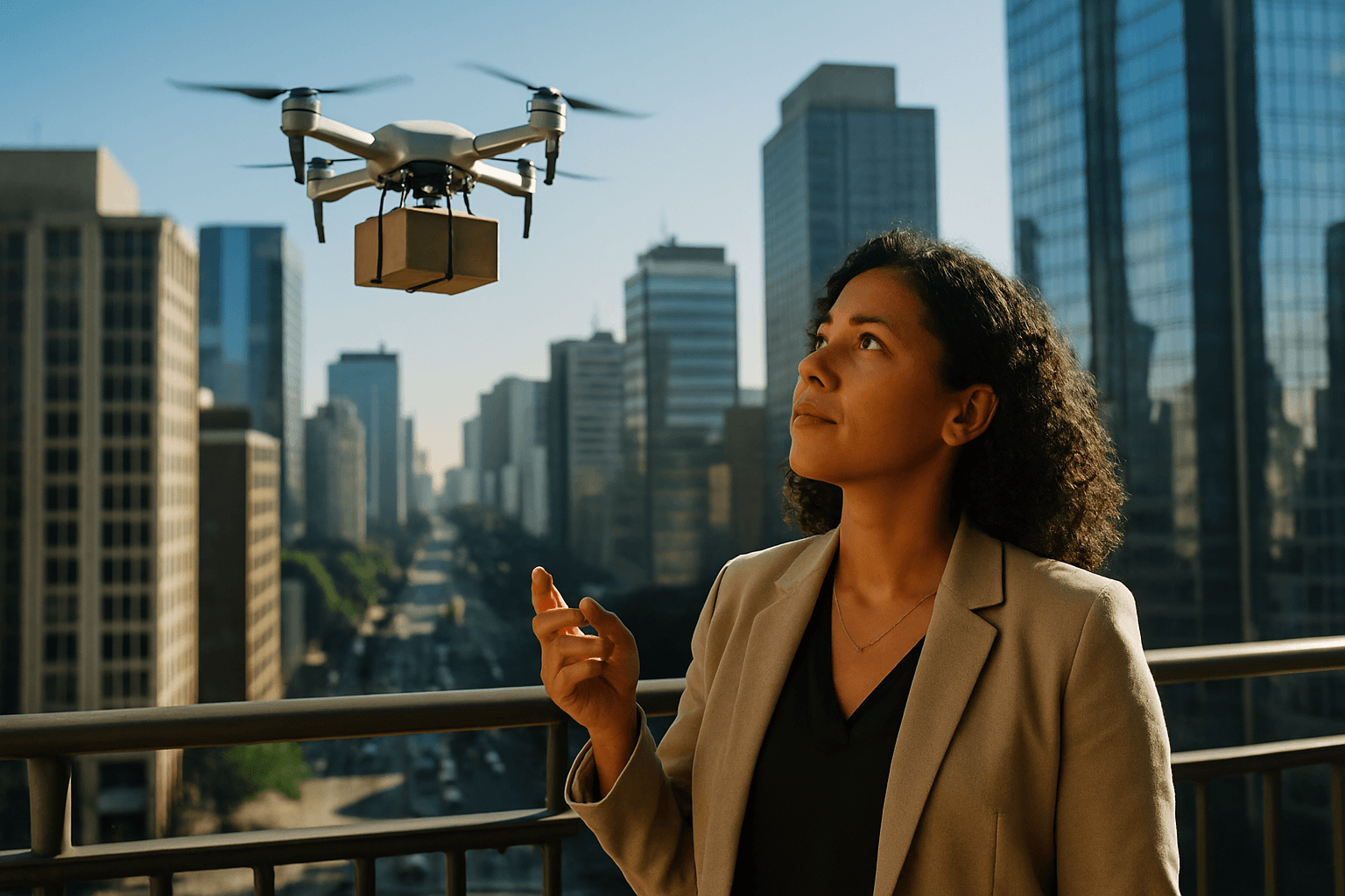
Imagine a future where the sky buzzes not with the din of traffic, but with the quiet hum of drones, effortlessly weaving through urban canyons to deliver your parcels. This vision, once science fiction, is rapidly becoming reality, driven by remarkable advancements in how Unmanned Aerial Vehicles (UAVs) navigate the complex, dynamic environment of urban airspace. The intricate dance of avoiding skyscrapers, adhering to regulations, and pinpointing delivery locations requires a sophisticated blend of cutting-edge technology and intelligent systems.
The challenge of urban drone delivery is not merely about staying aloft; it’s about operating safely, efficiently, and reliably in an environment filled with constantly changing variables, from buildings and infrastructure to weather and other air traffic. Meeting these demands necessitates a multi-layered approach to navigation, integrating precise positioning, advanced sensing, intelligent decision-making, and robust communication.
The Pillars of Urban Drone Navigation
Successful drone navigation in bustling cityscapes for delivery hinges on several critical technological and regulatory components working in unison.
Unmanned Aircraft System Traffic Management (UTM)
At the forefront of safe urban drone operations is the development of Unmanned Aircraft System Traffic Management (UTM) systems. UTM is a collaborative ecosystem designed to safely manage drone operations at low altitudes, especially for operations beyond visual line of sight (BVLOS). These systems are separate from, but complementary to, traditional air traffic control (ATC) for manned aircraft.
UTM frameworks provide essential services such as flight planning, authorization, surveillance, and conflict management to mitigate risks and ensure efficient operations. They are built on regulatory requirements, technical capabilities, and interoperable services. The goal of UTM is to enable multiple BVLOS drone operations where air traffic services are not provided, allowing drone operators, service providers, and aviation authorities to determine and communicate real-time airspace status. This includes managing drone-to-drone collision risks as operations become more frequent and overlap in urban areas.
Precision Positioning and Localization
Accurate localization is paramount for drones to navigate urban environments and deliver packages to precise locations. While standard GPS is the backbone of most drone navigation, it often lacks the centimeter-level accuracy required for urban delivery due to signal degradation from buildings and atmospheric interference.
Real-Time Kinematic (RTK) GPS
To overcome the limitations of standard GPS, drone delivery services increasingly employ Real-Time Kinematic (RTK) GPS technology. RTK refines satellite-based data in real time by using a fixed base station to transmit correction data to the drone. This process corrects positioning errors from several meters down to a few centimeters, which is crucial for precise delivery. RTK ensures that aerial maps, 3D models, and geospatial datasets are precise, often eliminating the need for extensive ground control points.
Post-Processed Kinematic (PPK)
In scenarios where real-time correction signals might be unreliable or interrupted, such as in areas with heavy urban canyons or poor connectivity, Post-Processed Kinematic (PPK) systems can be used. PPK also improves positioning accuracy but corrects the data after the flight using recorded information. Some advanced systems can even switch between RTK and PPK modes, ensuring high accuracy even when real-time signals are lost.
Advanced Sensors and Perception Systems
Drones rely on a suite of sophisticated sensors to perceive their surroundings and navigate safely, especially in GPS-denied or complex urban environments.
LiDAR (Light Detection and Ranging)
LiDAR sensors use laser pulses to measure distances and create detailed 3D maps of the environment. This technology is invaluable for detecting obstacles, mapping terrain, and enabling Simultaneous Localization and Mapping (SLAM), allowing the drone to build a 3D model of its surroundings in real-time while simultaneously tracking its own position.
Cameras and Computer Vision
Onboard high-resolution cameras, combined with advanced computer vision systems and AI, serve as the drone’s “eyes.” These systems analyze visual data to identify, classify, and predict the movement of obstacles like buildings, trees, power lines, and even dynamic objects such as vehicles and pedestrians. Visual-inertial navigation systems combine camera data with Inertial Measurement Unit (IMU) data for stable flight even when GPS signals are degraded.
Radar and Ultrasonic Sensors
Radar systems are robust against challenging weather conditions like fog, rain, and dust, making them suitable for both airborne and terrestrial platforms. Ultrasonic sensors are cost-effective and reliable for short-range detection, often used in drones operating at low altitudes or indoors.
Obstacle Avoidance Technology
The ability to detect and avoid obstacles is critical for safe urban drone delivery. Obstacle avoidance systems use data from various sensors to create a real-time map of the environment.
Intelligent Algorithms and AI
Advanced algorithms process sensor data to identify the size, distance, and trajectory of obstacles, then calculate the safest and most efficient flight path. Machine-learning algorithms help delivery drones recognize obstacles and landing zones, and future systems are expected to predict object motion to plan accordingly. Some approaches, like Arc Obstacle Avoidance (AOA), optimize curved trajectories around urban obstacles to minimize detour costs.
Multi-Directional Coverage
Modern drones feature 360-degree obstacle detection, ensuring comprehensive coverage in all directions. When an object appears within a defined buffer distance, the flight control system can stop, reroute, or hover until it is safe to continue.
Communication Systems
Reliable and secure communication is essential for drone command and control, data transmission, and integration into the broader airspace.
Cellular Networks (4G/5G)
Cellular networks, particularly 5G, offer low-latency, high-bandwidth connections suitable for dense urban operations and beyond visual line-of-sight (BVLOS) flights. Drones can connect to existing mobile communication infrastructure, reducing deployment costs.
Other Communication Technologies
Other communication methods include VHF/UHF radios for short-range operations and satellite communications (SATCOM) for global coverage, though SATCOM can be bulky and expensive for smaller delivery drones. Mesh network radios allow multiple drones to act as nodes, improving redundancy and extending range, which is beneficial for swarm intelligence applications where drones coordinate paths.
Regulations and Geofencing
To ensure safety and integration with existing airspace, drone operations are heavily regulated.
Geofencing
Geofencing defines virtual boundaries, specifying where drones are permitted to fly (operating areas) and where they are prohibited (exclusion zones). This feature enhances safety by preventing drones from entering sensitive areas like airports, military installations, or private property. Geofencing can also be used to establish dedicated air corridors for drone delivery, preventing mid-air collisions. While some geofencing systems provide pre-flight warnings, advanced systems are beginning to offer in-flight enforcement for certain drone types.
Beyond Visual Line of Sight (BVLOS) Regulations
Many initial drone operations were restricted to Visual Line of Sight (VLOS), requiring the pilot to maintain direct visual contact with the drone. However, for efficient delivery services, BVLOS operations are crucial. Regulatory bodies like the FAA in the U.S. and the CAA in the UK are developing frameworks and conducting trials to enable safe BVLOS flights, often requiring certified detect-and-avoid technology and robust safety assessments.
The Future of Urban Drone Delivery Navigation
The continuous evolution of drone technology, coupled with the development of sophisticated UTM systems and increasingly precise navigation tools, is paving the way for a transformative shift in urban logistics. As cities become denser and demand for faster, more efficient delivery grows, drones offer a viable solution to the “last-mile” challenge. Future developments are expected to see AI-powered predictive navigation, swarm intelligence for coordinated drone fleets, and even more integrated sensor fusion for unparalleled accuracy and reliability. The careful balance of technological innovation and robust regulatory frameworks will ultimately determine the speed and scale at which urban airspace transforms into a dynamic delivery grid.


