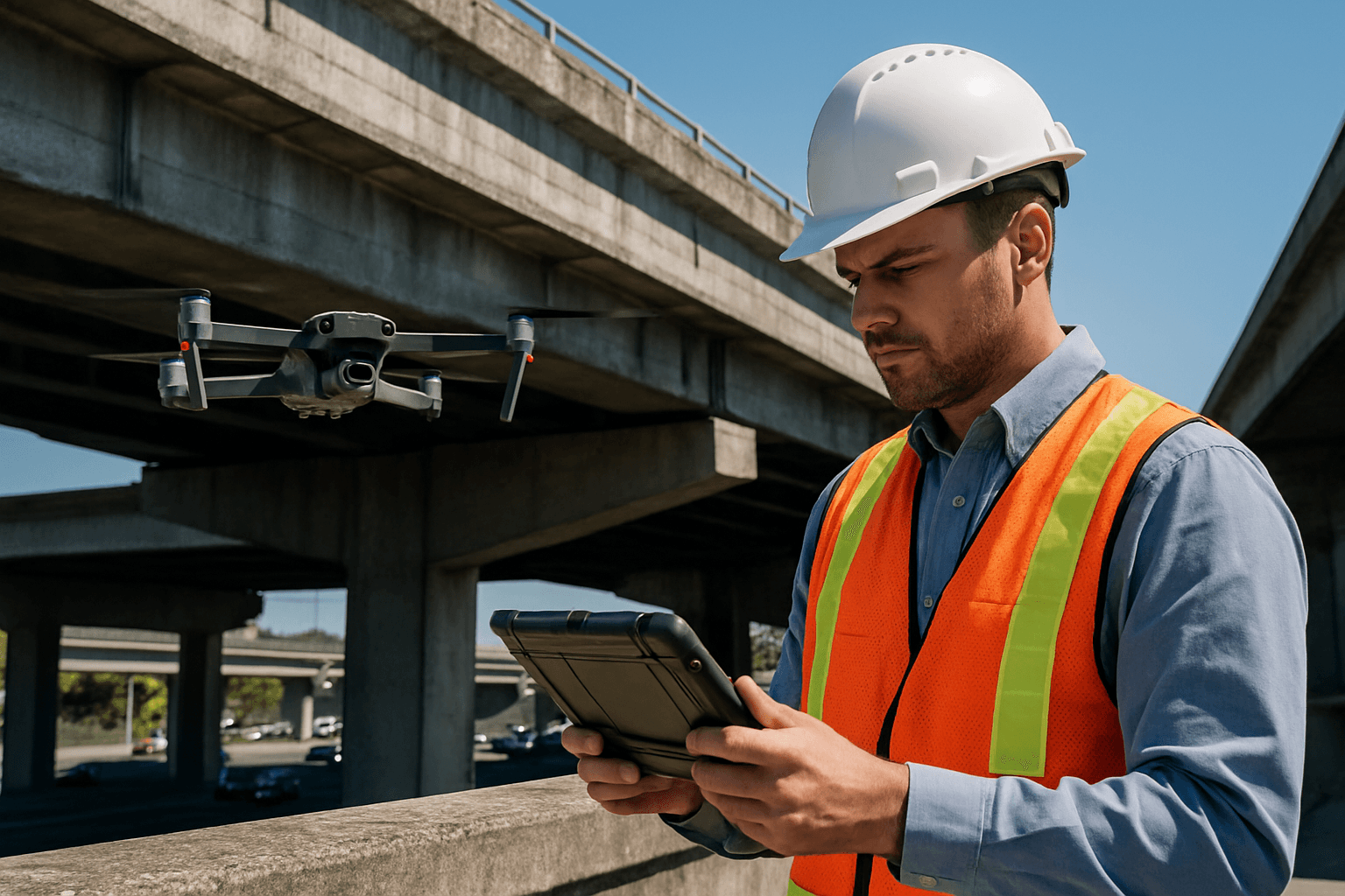
Bridge infrastructure is a cornerstone of modern transportation, yet a significant portion of these vital assets requires frequent inspection and maintenance. Traditional bridge inspection methods are often time-consuming, expensive, and expose personnel to considerable safety risks. Unmanned Aerial Systems (UAS), commonly known as drones, have emerged as a transformative solution, offering a safer, more efficient, and highly accurate approach to bridge deck inspection.
This guide outlines the process of conducting a drone survey for bridge deck inspection, from pre-flight planning to data analysis, ensuring a comprehensive and effective assessment.
Advantages of Drone Inspections
The adoption of drones for bridge inspections offers numerous benefits over conventional methods:
- Enhanced Safety: Drones eliminate the need for human inspectors to access dangerous, hard-to-reach areas, such as high elevations, undersides of bridges, or over water, significantly reducing the risk of accidents and minimizing fall hazards.
- Improved Efficiency and Cost-Effectiveness: Drone inspections are significantly faster, often completing a comprehensive scan in hours compared to days or weeks for manual methods. This reduces labor costs, the need for expensive equipment like scaffolding or snooper trucks, and minimizes traffic disruptions.
- Higher Data Accuracy and Detail: Equipped with high-resolution cameras, LiDAR, and thermal imaging sensors, drones capture detailed visual, thermal, and 3D data, allowing for the detection of minute defects like cracks, corrosion, structural misalignments, and moisture intrusion that might be missed by manual inspections.
- Comprehensive Coverage: Drones can access and thoroughly inspect all parts of a bridge, including complex structures, suspension cables, and foundations, ensuring no area is overlooked.
- Real-Time Monitoring and Analysis: Many advanced drones can provide real-time data transmission, allowing for immediate assessments and quicker decision-making during inspections. AI-powered software can further process vast amounts of data, automating defect detection with high accuracy and enabling predictive maintenance.
Pre-Flight Planning and Preparation
Thorough planning is critical for a successful and safe drone bridge deck inspection.
Regulatory Compliance
Before any flight, ensure full compliance with relevant aviation regulations. In the U.S., the Federal Aviation Administration (FAA) regulates drones under Part 107 rules. Operators must maintain a visual line of sight (VLOS) and avoid flying over people. For bridge inspections, especially over larger structures or in controlled airspace, operators may need to obtain additional waivers for operations such as beyond visual line of sight (BVLOS) flights. Local laws may impose further restrictions, particularly in urban areas or near critical infrastructure. A qualified team leader, often a bridge inspector, should be on-site and can also serve as the UAS remote pilot.
Equipment Selection
Selecting the right drone and sensors is crucial for effective data collection.
- Drone Platform: Consider payload capacity, flight endurance, wind resistance, and stability. Popular choices include models like the DJI Mavic 3 Enterprise Thermal, DJI Matrice series (e.g., M30, M350 RTK), JOUAV PH-20, and Skydio X10, which offer long flight times and robust performance. Drones with advanced obstacle avoidance systems are highly beneficial for navigating complex bridge structures.
- Sensors:
- High-Resolution RGB Cameras: Essential for visual inspections, capturing detailed images and videos to identify cracks, corrosion, spalling, and other surface defects.
- Thermal Imaging Cameras (Infrared Thermography): Detect temperature variations on the bridge surface, indicating hidden issues such as moisture intrusion, delamination, heat loss, or insulation failures. Uncooled microbolometer IR cameras are suitable for UAV surveys.
- LiDAR (Light Detection and Ranging): Creates highly accurate 3D models of the bridge, invaluable for assessing deformation, alignment, load distribution, and tracking structural shifts over time with millimeter-level accuracy. LiDAR is particularly useful for generating precise digital twin models.
- Other Advanced Sensors: For more in-depth analysis, drones can be equipped with ultrasonic testing (UT) for material thickness and internal defects, or Pulsed Eddy Current (PEC) for detecting corrosion beneath coatings.
- Ancillary Equipment: This includes spare batteries, a remote controller (ideally with a high-resolution screen), GPS antenna, a landing platform, and safety gear for the crew.
Mission Planning Software
Utilize specialized mission planning software to define inspection objectives and create automated flight paths. Software like DJI Pilot 2, AeroMapPro, or Skydio’s 3D Scan can generate detailed 3D models of the bridge, which are then used to plan safe and efficient flight routes, ensuring comprehensive coverage and optimal image overlap for photogrammetry. This software can often ensure precise positioning even in GPS-denied environments commonly found under bridges.
Site Assessment and Risk Mitigation
Conduct a thorough site assessment to identify potential hazards such as power lines, trees, or active traffic. Assess weather conditions, as strong winds or precipitation can affect flight stability and data quality. Plan for contingencies and emergency procedures. Ensuring pre-flight checklists are completed, checking battery levels, and confirming camera settings are essential.
Data Acquisition (Flight Execution)
The flight execution phase involves carefully flying the drone to capture the necessary data.
Flight Patterns and Camera Settings
- Pre-programmed Paths: Drones should follow pre-programmed flight paths to ensure systematic coverage and consistent data quality, especially for large areas like bridge decks. Waypoint algorithms are useful for covering the entire bridge with adequate overlap for photogrammetric accuracy.
- Altitude and Standoff Distance: Maintain a steady altitude and a consistent standoff distance (e.g., 5 feet) from the bridge structure to produce usable imagery.
- Camera Settings: Use high-resolution settings. While automatic camera settings can be used, manual adjustments of sensor settings, ISO, and avoiding shutter speed adjustments can enhance image quality, especially in varying light conditions. For specific defect detection, zoom capabilities can be used to examine hard-to-reach areas.
- Sensor Usage: Capture high-resolution visual images and thermal data simultaneously or in separate passes depending on the drone’s capabilities.
- GPS-Denied Environments: Some advanced drones utilize AI-driven visual navigation systems that do not solely rely on GPS, enabling precision positioning underneath bridges or in other challenging environments.
Safety Protocols During Flight
- Visual Line of Sight: Maintain visual line of sight with the drone unless a waiver for BVLOS has been obtained.
- Traffic Management: One of the key benefits of drone inspections is minimizing traffic disruptions; aim to conduct inspections without lane closures if possible. If lane closures are necessary, drones can provide real-time traffic monitoring.
- Obstacle Avoidance: Utilize the drone’s obstacle avoidance systems, especially when flying in confined spaces or close to complex bridge components.
Post-Processing and Data Analysis
After data acquisition, the collected imagery and sensor data are processed and analyzed to identify defects and assess the bridge’s condition.
Photogrammetry Software
Images are stitched together using photogrammetry software to create georeferenced 2D orthophotos and detailed 3D models, including digital twins of the bridge. Software platforms such as DJI Terra, Qii.AI, or Twinsity’s TWINSPECT are designed for this purpose, allowing for 3D visualization and analysis.
Data Interpretation
- Visual Inspection: High-resolution images allow inspectors to identify and document visible defects such as cracks (even less than a millimeter wide), spalling, corrosion, and delamination.
- Thermal Analysis: Thermal images are analyzed to identify “hot spots” which indicate thermal barriers caused by delaminations or moisture intrusion within the bridge deck.
- 3D Model Analysis: LiDAR-generated 3D models enable engineers to analyze the bridge from multiple angles, take precise measurements, track changes over time, and assess structural integrity.
- AI-Powered Defect Detection: Advanced software uses AI algorithms (e.g., Convolutional Neural Networks (CNNs) and Vision Transformers (ViTs)) to automatically detect and localize damage, improving accuracy and efficiency in analyzing large datasets. These systems can detect various defects, including concrete cracks, spalling, and corrosion.
Reporting
The analyzed data is compiled into comprehensive reports. Digital platforms can centralize defect management, allow for historical data comparison, and facilitate sharing models and reports with team members. These reports are crucial for making informed maintenance decisions and planning future repairs.
Challenges and Considerations
While drones offer significant advantages, some considerations remain:
- Regulatory Evolution: Regulations, particularly for BVLOS operations and flight in controlled airspace, are continually evolving and can impact deployment.
- GPS-Denied Environments: While some drones excel, GPS signals can be an issue under bridges or in dense urban areas, requiring drones with advanced visual navigation or alternative positioning systems.
- Data Volume and Processing: Drones collect massive amounts of data, requiring robust processing capabilities and software to manage and analyze it efficiently.
- Limitations of Current Technology: While drones can supplement inspections effectively, they cannot entirely replace hands-on, tactile examinations (e.g., sounding with a hammer) which are necessary for assessing material soundness and precise defect dimensions for load rating calculations.
Conclusion
Drone surveys have fundamentally transformed bridge deck inspection, offering unparalleled safety, efficiency, and data accuracy. By adhering to a structured workflow from meticulous pre-flight planning and appropriate equipment selection to advanced data acquisition and analysis, engineers and infrastructure managers can leverage UAS technology to ensure the long-term safety and structural integrity of critical bridge assets, leading to more informed maintenance decisions and significant cost savings. As drone and AI technologies continue to advance, their role in proactive infrastructure management will only grow.


