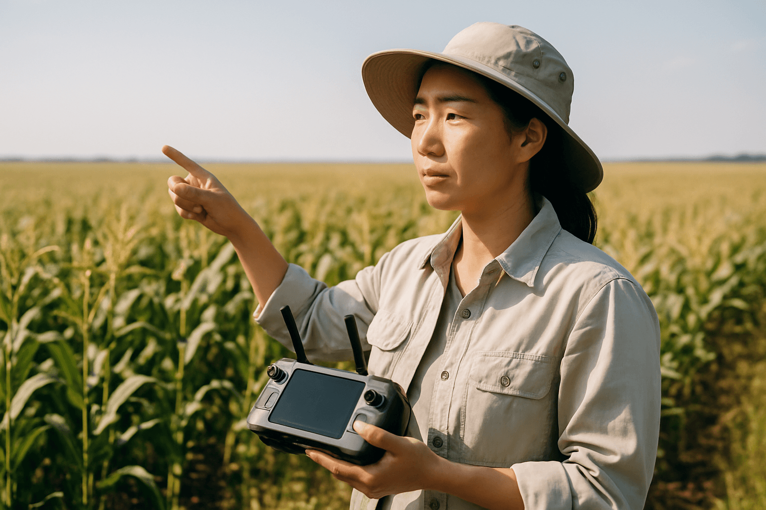
The global agricultural landscape faces increasing pressure to maximize yields while minimizing environmental impact, driven by factors such as climate change, water scarcity, and rising food demand. Traditional methods of crop monitoring, often reliant on manual inspections and costly satellite imagery, struggle to provide the granular, real-time insights necessary for truly precise and sustainable farming. Enter drone technology, an innovative solution transforming how farmers assess and manage crop health, offering an unprecedented aerial perspective that enables data-driven decisions and optimized resource utilization.
The Evolution of Precision Agriculture and Drones
Precision agriculture, an approach focused on observing, measuring, and responding to variability in crops and fields, has long sought tools for detailed analysis. Drones, also known as Unmanned Aerial Vehicles (UAVs), have emerged as game-changers in this field. They offer a flexible, efficient, and highly accurate method for gathering critical agricultural data, surpassing the capabilities and often the cost of traditional alternatives. The agricultural drone market is booming, with projections estimating significant growth in the coming years, indicating their increasing ubiquity on farms of all sizes.
How Drones Assess Crop Health with Advanced Sensors
Drones equipped with specialized sensors and imaging equipment provide a bird’s-eye view, capturing comprehensive data on crop health metrics long before problems become visible to the human eye. This early detection is crucial for preventing significant yield losses.
Multispectral and Hyperspectral Imaging: Beyond Visible Light
Multispectral imaging is a cornerstone of drone-based crop health assessment. These sensors capture light across multiple wavelengths, including visible light (red, green, blue), near-infrared (NIR), and often red-edge bands. Healthy plants reflect more near-infrared light and absorb more red light due to their cell structure and chlorophyll content. By analyzing these differences, vegetation indices can be calculated:
- Normalized Difference Vegetation Index (NDVI): NDVI is a widely used graphical indicator that quantifies vegetation health and vigor by comparing the difference between reflected near-infrared and red light. Higher NDVI values (closer to +1) indicate healthy, dense, and photosynthetically active vegetation, while lower values suggest sparse or stressed plants. NDVI mapping can pinpoint issues like water deficiency, pest infestation, or nutrient imbalance days or even weeks before visual symptoms appear.
- Red Edge Index (NDRE): The red-edge band (around 712–722 nm) is particularly valuable for detecting subtle changes in crop health, as it’s where the first signs of stress related to disease or nutrient deficiencies often appear.
Thermal Imaging: Detecting Stress Through Temperature
Thermal cameras on drones measure the surface temperature of plants. Plants cool themselves through transpiration, a process where water vapor is released through leaves. When crops experience water stress, disease, or nutrient deficiency, transpiration rates decrease, leading to elevated leaf temperatures. Thermal imaging can detect these temperature deviations, providing early indicators of stress and helping farmers optimize irrigation schedules. The Crop Water Stress Index (CWSI) is a common thermal index used for this purpose.
RGB and Visual Inspections: High-Resolution Overview
Even standard RGB (red, green, blue) cameras on drones provide high-resolution visual imagery that offers a comprehensive overview of fields. These images can help identify visible irregularities, assess plant density, monitor growth stages, and even spot issues like ponding or wind damage that might be missed during ground inspections.
Key Benefits of Drone Technology in Crop Health
The integration of drones into agricultural practices brings a multitude of advantages, revolutionizing farming efficiency and sustainability.
- Early Detection of Plant Stress: Drones, with their advanced sensors, can detect stress from insufficient water, nutrient deficiencies, or disease long before symptoms are visible to the human eye, enabling proactive intervention.
- Increased Efficiency and Time-Saving: Drones can survey vast tracts of land in a fraction of the time it would take using traditional ground-based methods, allowing farmers to cover large areas quickly.
- Enhanced Accuracy and Resolution: Drone-based imaging systems achieve spatial resolutions from 0.6 cm/pixel to 20 cm/pixel, offering highly precise data for monitoring and early stress detection compared to satellite imagery, which may offer only meter accuracy.
- Optimized Resource Usage: By identifying specific problem areas, farmers can apply water, fertilizers, and pesticides precisely where needed, reducing waste, lowering costs, and minimizing environmental impact through reduced chemical runoff.
- Data-Driven Decisions and Yield Optimization: The detailed data collected by drones allows farmers to make informed decisions about planting, irrigation schedules, nutrient application, and pest management, leading to healthier crops and improved yields.
- Reduced Labor Requirements: Drones decrease the demand for manual labor for scouting and inspection, which is particularly beneficial in an industry facing labor shortages.
Data Analysis and Actionable Insights
Collecting data is only the first step. The true power of drone technology lies in processing and analyzing this information to generate actionable insights. Advanced software tools and artificial intelligence (AI) play a crucial role in transforming raw drone data into practical farming decisions.
- Image Processing and Mapping: Specialized software stitches together individual drone images to create high-resolution orthomosaic maps of entire fields. These maps can be overlaid with vegetation indices (like NDVI) to visually represent crop health variations.
- AI and Machine Learning Integration: AI and machine learning algorithms are increasingly used to analyze drone-collected data, enhancing the accuracy and efficiency of crop monitoring, disease identification, and even yield prediction. These systems can identify patterns and trends that might be invisible to the human eye, providing predictive analytics.
- Prescription Maps: Based on the analyzed data, drones can generate “prescription maps” that guide precision application equipment for targeted spraying of fertilizers, herbicides, or pesticides, ensuring resources are delivered only where needed.
Challenges and Future Trends
Despite the significant advantages, the widespread adoption of drone technology in agriculture faces several challenges:
- Regulatory and Legal Hurdles: Complex and evolving regulations concerning drone operation, pilot certification, drone registration, and flight restrictions (e.g., beyond visual line of sight or over certain altitudes) can be a barrier for farmers.
- High Initial Investment and Technical Complexity: The upfront cost of high-quality agricultural drones, specialized sensors, and accompanying software can be substantial, especially for smaller farms. Furthermore, operating drones and interpreting their data require specialized skills and training.
- Data Management and Integration: The sheer volume of data generated by drones can be overwhelming, requiring significant storage capacity, computational power, and the ability to integrate with existing farm management systems.
- Environmental and Operational Limitations: Weather conditions (wind, rain) can affect drone performance, and limitations like battery life and flight range can restrict their use for large-scale operations.
Looking ahead, the future of drones in agriculture is promising, with continuous advancements addressing current limitations. This includes improved energy autonomy, enhanced AI and machine learning for more autonomous and complex analyses, the development of sophisticated decision-support systems, and the potential for drone swarms for even greater efficiency. The integration of drones with other IoT devices and big data analytics will further drive precision agriculture towards a more automated and efficient future.
Implementing Drone Technology on Your Farm
For farmers considering integrating drones, a strategic approach is key:
- Understand Regulations: Familiarize yourself with local and national aviation regulations. For commercial agricultural use, obtaining an FAA Part 107 Remote Pilot certification (in the US) or equivalent is often required.
- Choose the Right Drone: Select a drone based on farm size, budget, and specific needs. Fixed-wing drones are suitable for large areas, while multirotor drones offer better stability for detailed tasks. Prioritize camera and sensor quality for more detailed data.
- Invest in Software and Training: Quality mapping and monitoring software are essential for translating drone data into actionable insights. Training is needed not just for flying the drone but also for operating sensors and analyzing data. Consider collaborating with drone service providers if in-house expertise is limited.
- Start Small, Scale Up: Begin with specific, manageable applications like crop health monitoring in a particular field, and gradually expand as you gain experience and see the benefits.
By embracing drone technology, farmers can move towards more precise, efficient, and sustainable agricultural practices, ensuring higher yields and a more resilient food supply for the future.


