Imagine a world where vast landscapes are mapped with pinpoint accuracy in a fraction of the time, hazardous construction sites are monitored without human risk, and agricultural fields are analyzed with granular detail to optimize yields. This isn’t a distant fantasy, but the rapidly unfolding reality brought about by the integration of Artificial Intelligence (AI) with drone-based surveying and mapping. This powerful synergy is fundamentally reshaping the geospatial industry, moving beyond mere data collection to intelligent data interpretation and actionable insights.
The Synergistic Power of AI and Drones in Surveying
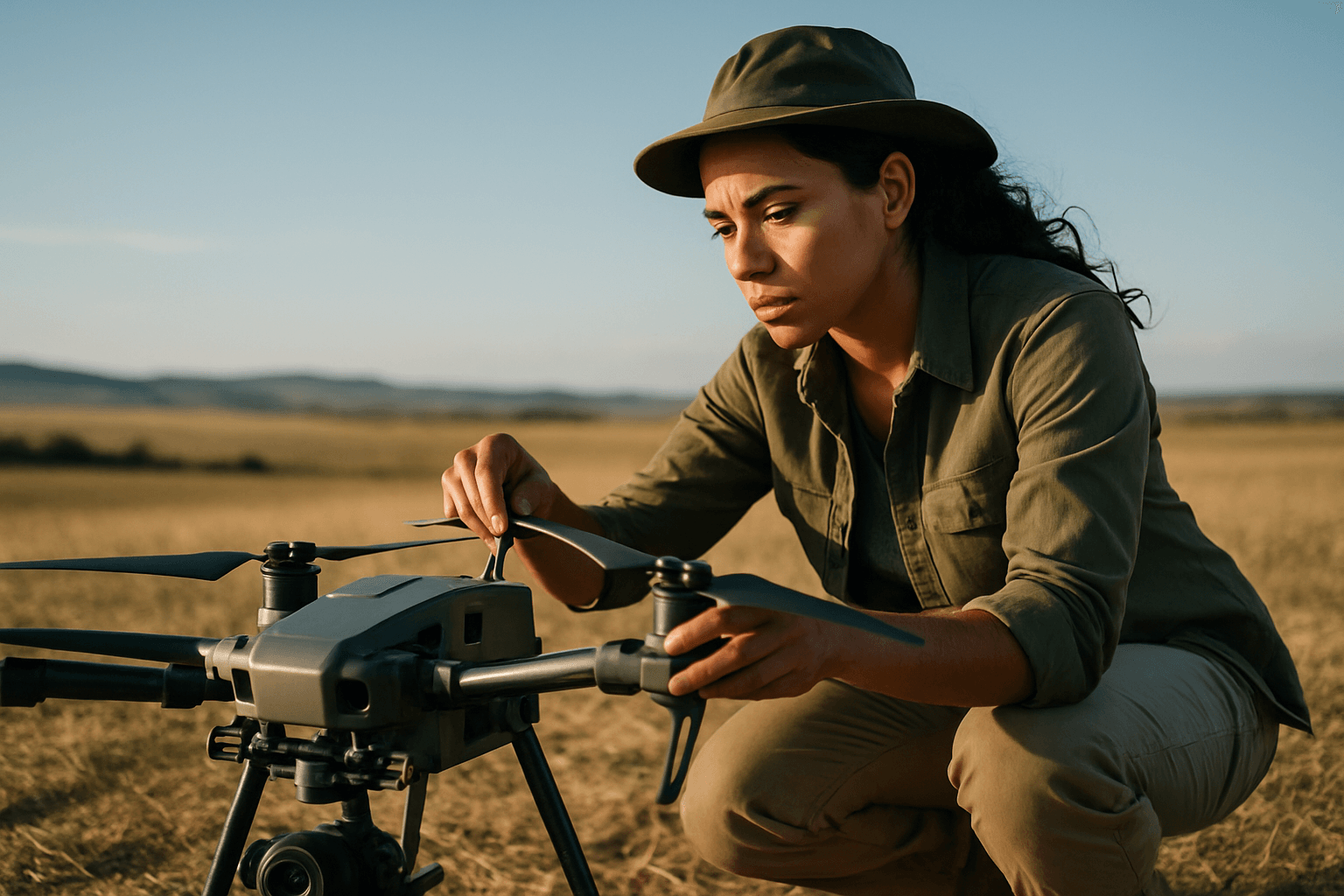
The fusion of AI with Unmanned Aerial Systems (UAS), commonly known as drones, is transforming aerial surveys into more efficient, precise, and intelligent solutions. AI enhances drone capabilities across various stages, from flight execution to data analysis.
Enhanced Autonomy and Flight Optimization
AI-powered drones are moving beyond simple remote control, gaining advanced autonomy. Equipped with AI algorithms and sophisticated sensors like GPS and inertial navigation systems, these drones can make real-time decisions, optimize flight paths, and avoid obstacles dynamically. This capability allows for continuous operation without human fatigue, significantly reducing the time and labor required for data collection. Automated flight planning ensures comprehensive coverage, while intelligent obstacle detection systems adjust routes to prevent collisions, even in complex or GPS-denied environments.
Real-time Data Processing and Decision-Making
One of the most significant advancements is the drone’s ability to process data in real-time. Rather than merely collecting data for later analysis, AI-driven drones can process images and detect anomalies on the fly. This capability, often facilitated by edge AI computing, reduces latency in data handling and enables immediate decision-making, which is crucial for time-sensitive operations like disaster response.
Key AI-Powered Technologies Revolutionizing Data Capture and Analysis
The true power of AI in drone-based surveying lies in its ability to transform raw data into structured, actionable information. Machine learning algorithms are making sense of the vast amounts of data collected by advanced drone sensors.
Advanced Photogrammetry and 3D Modeling
Photogrammetry, the science of making measurements from photographs, has been significantly augmented by AI. AI algorithms automate complex processes involved in stitching together hundreds or thousands of high-resolution drone images into orthomosaic maps and 3D models. AI enhances alignment accuracy, corrects distortions, and refines models by intelligently smoothing surfaces, filling missing textures, and improving visual quality. This leads to unprecedented accuracy and efficiency in creating comprehensive, real-time maps and detailed 3D reconstructions of terrains and intricate landscapes.
LiDAR Data Processing and Classification
LiDAR (Light Detection and Ranging) systems, which capture millions of 3D points per second, generate massive datasets. AI and machine learning are indispensable for processing and interpreting this complex data. AI algorithms refine LiDAR point clouds, eliminate noise, improve accuracy, and automatically classify objects within the data, such as buildings, trees, roads, and power lines. This allows for the rapid creation of usable topographic maps and 3D city models without extensive manual editing. AI-enhanced LiDAR can also identify anomalies, flag inconsistencies, and detect structural defects, providing critical insights for infrastructure monitoring and urban planning.
Machine Learning for Automated Feature Recognition
Machine learning algorithms enable automated feature recognition, allowing drones to identify and classify objects in imagery and point clouds, such as vegetation, water bodies, roads, and specific infrastructure components like manholes and drains. This capability is vital for:
- Agriculture: Distinguishing between healthy crops and diseased areas.
- Environmental Monitoring: Classifying land cover changes like deforestation or urban expansion.
- Infrastructure Management: Identifying potholes, cracks, or defects in roads, bridges, and utility corridors.
Transformative Benefits for Surveying and Mapping Professionals
The integration of AI into drone technology brings a multitude of benefits that are redefining the capabilities of the surveying and mapping industry.
Unmatched Accuracy and Precision
AI drones capture detailed aerial data with centimeter-level accuracy, significantly mitigating human error and enhancing the reliability of survey results. This precision is crucial for projects requiring exact measurements, such as boundary delineations and topographic mapping.
Significant Efficiency and Cost Savings
AI drones can survey large areas in a fraction of the time compared to traditional ground crews, automating data collection and processing. This efficiency translates into faster project completion, reduced labor costs, and significant overall cost savings for clients without compromising data quality.
Access to Challenging and Hazardous Terrains
One of the key advantages is the ability of AI drones to access and survey areas that are difficult or dangerous for human surveyors. This includes rugged terrains, dense vegetation, hazardous environments, or even indoor spaces, ensuring comprehensive data collection while prioritizing safety.
Actionable Insights and Predictive Analytics
AI algorithms analyze trends in geospatial data, turning raw information into actionable intelligence. This enables proactive decision-making for infrastructure management, environmental monitoring, and predictive maintenance by flagging potential issues early.
Diverse Applications Across Industries
The widespread adoption of AI-powered drone surveying is evident across numerous sectors.
Infrastructure Monitoring and Management
Drones equipped with AI are ideal for inspecting critical infrastructure such as roads, bridges, pipelines, and power lines. AI algorithms can precisely identify corroding parts, structural damage, and vegetation encroachment, enabling timely maintenance and reducing the likelihood of failures. Digital twins, continuously updated with new drone data, offer live views of asset conditions and usage trends.
Construction Progress Monitoring
In construction, AI drones enable monitoring of progress, detection of deviations from plans, and quality control, thereby reducing errors and rework. AI can compare BIM (Building Information Modeling) models to real-world updates captured by drones, providing real-time insights into construction advancement.
Environmental Monitoring and Conservation
AI drones assist in monitoring environmental changes, such as erosion, vegetation growth, water levels, and even wildlife populations. They provide valuable data for conservation efforts, land cover change analysis, and disaster response by quickly assessing affected areas and classifying obstacles.
Agriculture and Resource Management
Precision agriculture greatly benefits from AI-powered drones that provide detailed insights into crop health, soil conditions, and pest infestations. By optimizing resource allocation, farmers can conserve water and fertilizer, enhance crop yields, and improve operational efficiency.
Urban Planning and Smart City Development
AI and LiDAR are becoming essential tools for smart city development. They enable the creation of detailed 3D city models, analyze land use, classify infrastructure, and track changes over time, aiding urban planners in making informed decisions.
Navigating the Challenges and Future Outlook
Despite the remarkable advancements, the widespread integration of AI in drone mapping is not without its challenges.
Technical Hurdles
Limitations such as drone battery life and the need for sophisticated onboard computational resources for real-time processing remain hurdles. Ensuring consistent object detection amidst varying lighting, weather, and terrain, as well as handling occlusions or dynamic backgrounds, requires continuous algorithm development.
Data Security and Privacy Concerns
The collection of vast amounts of sensitive data by AI-powered drones raises significant concerns about data privacy, security, and ethical surveillance. The potential for misuse of information, such as tracking individuals without consent, necessitates robust data protection measures and transparent policies.
Regulatory Frameworks and Public Acceptance
The rapid evolution of this technology often outpaces regulatory frameworks. Establishing clear guidelines for airspace regulations, autonomous operations, and ethical use is vital to ensure responsible deployment and foster public trust and acceptance.
The Road Ahead: Integration with IoT, 5G, and Swarm Intelligence
Looking ahead, the potential for AI in drone technology is immense. We can anticipate further advancements in:
- Enhanced Autonomy and Collaboration: Future drone swarms will exhibit greater autonomy, collaborating to cover larger areas more efficiently and gather comprehensive data sets.
- Integration with IoT and 5G Networks: Connecting drones with IoT devices and 5G networks will create more responsive survey systems, enabling real-time data transmission and analysis on an unprecedented scale.
- Miniaturization and Extended Flight Times: Innovations in battery technology and more robust AI algorithms will enable longer flights and more complex data analysis capabilities.
- Real-time Digital Twins: The creation of continuously updated digital replicas of physical assets will become more sophisticated, offering live views of conditions and trends.
Conclusion
The convergence of AI with drone technology is not just enhancing the efficiency and accuracy of surveying and mapping; it is redefining the industry’s capabilities entirely. From automating flight paths and processing complex data to delivering real-time, actionable insights, AI-powered drones are transforming how we interact with and understand our environment. While challenges related to privacy, regulation, and technical limitations persist, ongoing innovation promises a future where autonomous drones, guided by intelligent AI, will become indispensable tools for a smarter, safer, and more precisely mapped world.


