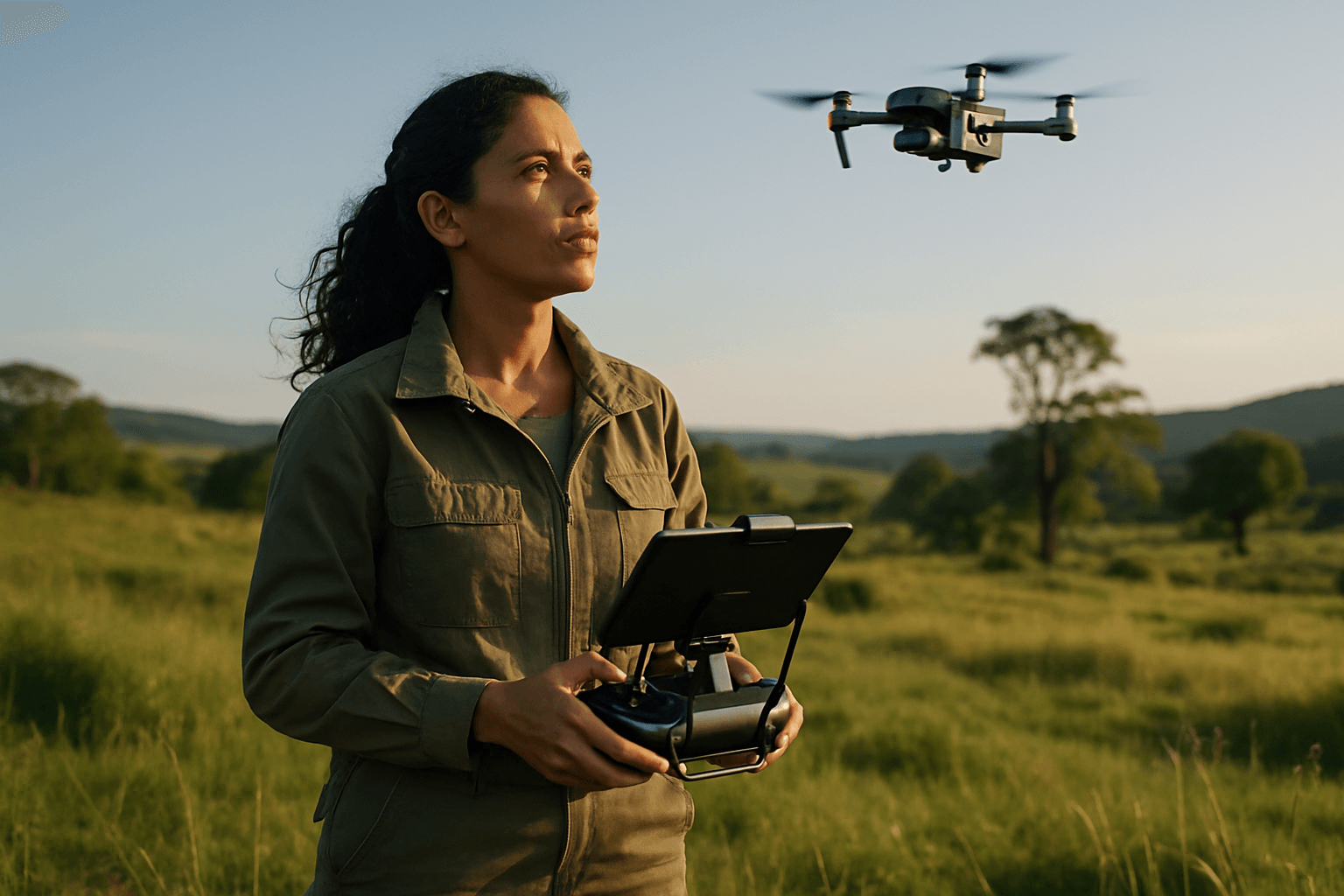
Drones, or Unmanned Aerial Vehicles (UAVs), are rapidly transforming environmental monitoring, offering unprecedented capabilities to collect and analyze data across diverse ecosystems. From tracking wildlife populations and assessing deforestation to monitoring air and water quality, these versatile tools are revolutionizing conservation efforts and resource management. The future promises even more sophisticated applications as advancements in drone technology, sensor capabilities, artificial intelligence, and autonomy continue to evolve, enabling more efficient, accurate, and real-time insights into our planet’s health.
Advanced Sensor Technologies: Unveiling Deeper Environmental Insights
The core of effective environmental monitoring lies in the quality and specificity of data collected, which is directly tied to sensor technology. Future trends point towards increasingly sophisticated and miniaturized payloads that can capture a broader spectrum of environmental parameters with higher precision.
Hyperspectral and Multispectral Sensors
Hyperspectral sensors, capturing data across hundreds of narrow spectral bands, are a significant leap forward. Unlike traditional RGB cameras, they dissect the electromagnetic spectrum into many bands, allowing for detailed analysis of light reflected from surfaces. This capability enables precise identification of plant health, soil composition, water quality, and the detection of pollutants with unparalleled accuracy. Multispectral sensors, capturing data at specific wavelengths, are also seeing enhancements with more spectral bands and real-time processing capabilities, improving analysis of vegetation health and water quality. These sensors are invaluable for applications like monitoring crop health, detecting plant diseases, assessing nutrient levels, tracking deforestation, and identifying invasive species.
LiDAR Technology for 3D Environmental Mapping
Light Detection and Ranging (LiDAR) technology is becoming indispensable for creating highly detailed 3D models of terrain and vegetation. By emitting laser pulses and measuring the time for their return, LiDAR generates precise point clouds that can penetrate dense foliage, offering distinct advantages over traditional remote sensing methods for mapping forest structure, assessing biomass, and monitoring changes in elevation over time. Future LiDAR applications are expected to include multi-spectral LiDAR for richer data on vegetation health and soil composition.
Thermal and Gas Sensors
Advancements in thermal imaging are leading to higher resolution thermal sensors, often integrated with visible light cameras for dual-sensor systems that provide enhanced situational awareness. Drones equipped with gas sensors, such as laser-based spectrometers, can detect and quantify greenhouse gas emissions like methane, offering critical data for environmental compliance and pollution control.
Artificial Intelligence and Machine Learning: Towards Autonomous and Intelligent Monitoring
The integration of Artificial Intelligence (AI) and Machine Learning (ML) is fundamentally transforming drones from remote-controlled devices into intelligent, adaptive systems capable of autonomous operation and real-time decision-making.
Automated Data Analysis and Feature Recognition
AI algorithms can process vast amounts of data collected during flight, automating data analysis, making it faster and more accurate than manual methods. This includes automated feature recognition, where AI can identify and classify objects like buildings, roads, vegetation, and water bodies in drone imagery. In environmental monitoring, AI can classify land cover changes, such as deforestation or urban expansion, and distinguish between healthy and diseased crops with high accuracy.
Predictive Analytics and Real-Time Insights
AI-powered drones can perform real-time analysis, allowing for quicker identification of patterns or anomalies and enabling faster decision-making. Predictive analytics, driven by AI, analyzes trends in geospatial data to forecast environmental changes, aiding in proactive conservation and resource management strategies.
Enhanced Autonomy and Obstacle Avoidance
AI enables drones to autonomously detect and avoid obstacles, optimize flight paths based on factors like wind speed and terrain, and adapt to dynamic situations with minimal human intervention. This capability is crucial for safe and efficient operations, especially in complex or hazardous environments.
Drone Swarm Technology: Covering More Ground More Efficiently
One of the most promising future trends is the development and deployment of drone swarms, where multiple drones operate collaboratively to achieve a common goal.
Scalable and Resilient Monitoring
Coordinated drone swarms can cover larger areas more efficiently and rapidly than single drones, making them ideal for extensive environmental assessments like forest monitoring or agricultural surveys. This distributed intelligence allows the swarm to efficiently and dynamically respond to spatial irregularities, greatly enhancing detection accuracy and resilience against single points of failure inherent in traditional systems.
Real-time Data Collection and Collaboration
Swarms can collect and process data in real-time, leveraging machine learning algorithms to analyze information collectively and ensure accuracy. This capability is particularly valuable for tracking changes in ecosystems, monitoring wildlife, and measuring environmental pollutants over vast, difficult-to-access wilderness areas.
Extended Endurance and Beyond Visual Line of Sight (BVLOS) Operations
To maximize their utility, drones for environmental monitoring are evolving to offer significantly longer flight times and the ability to operate beyond the pilot’s visual line of sight.
Advanced Power Solutions
Long endurance drones are engineered with aerodynamic efficiency, optimized propulsion systems, lightweight materials, and advanced energy solutions such as solar panels, hydrogen fuel cells, or hybrid systems. These innovations allow UAVs to remain airborne for hours, or even days, minimizing the need for frequent landings and recharging, which is crucial for persistent surveillance and data collection over expansive areas.
Regulatory Evolution for BVLOS
The expansion of BVLOS operations, while offering immense benefits for covering remote and large areas, requires careful consideration of regulatory frameworks. As technology advances, regulations are expected to evolve to safely integrate these capabilities, addressing concerns related to airspace management, public safety, and data security.
Enhanced Data Processing and Integration
The sheer volume of data collected by advanced drones necessitates sophisticated processing and analysis techniques to transform raw information into actionable insights.
GIS and Cloud-Based Platforms
Drone-collected data is often processed and analyzed within Geographic Information Systems (GIS) platforms, enabling detailed mapping, spatial analysis, and the creation of environmental models. Cloud-based data processing further enhances capabilities by enabling real-time analysis, collaboration across teams, and efficient management of large datasets.
Digital Twins and Predictive Modeling
The future will see increased creation of “digital twins” of real-world environments using drone data, empowering data-driven decision-making and allowing for more accurate predictive modeling of environmental changes.
Challenges and Future Outlook
Despite the exciting advancements, challenges remain, including regulatory restrictions, public privacy concerns, the cost of high-quality equipment, and the need for robust data management systems. However, as technology becomes more affordable and policies supportive of drone applications for environmental conservation emerge, the drone environmental monitoring market is poised for significant growth. The ongoing integration of drones with IoT for real-time habitat monitoring and the continuous development of AI and sensor miniaturization will further expand their utility, making them indispensable tools for supporting sustainable environmental management and enhancing resilience to climate change. The ability of drones to access inaccessible or dangerous places and provide high-resolution, real-time data offers invaluable opportunities for a deeper understanding and oversight of our planet’s delicate ecosystems.


