Invasive species pose a monumental threat to global biodiversity, disrupting delicate ecosystems, outcompeting native flora and fauna, and inflicting substantial economic and ecological damage annually. Traditional methods for detecting and managing these unwelcome intruders are often labor-intensive, costly, and limited in scope, making the battle against their rapid spread an uphill one. However, a new vanguard has emerged in this ecological fight: drones. These unmanned aerial vehicles (UAVs) are transforming how environmental scientists and conservationists track, map, and even mitigate invasive species, offering unprecedented levels of accessibility, precision, and efficiency.
The Growing Challenge of Invasive Species Management
The relentless advance of invasive species, from aggressive plants like Japanese knotweed and Kudzu to destructive animals such as feral pigs and rats, demands innovative solutions. Historically, monitoring efforts have relied on laborious ground surveys or expensive manned aircraft, both of which come with significant drawbacks. Manual surveys are time-consuming, can disturb sensitive habitats, and struggle to cover vast, often inaccessible terrains like dense forests, wetlands, or steep hillsides. Manned aircraft, while offering a broader view, incur high operational costs and lack the precision for detailed, localized assessments. The critical need for early detection—the most effective strategy for control—has often been hampered by these limitations, allowing invasive populations to become entrenched before significant action can be taken.
Drones: A Paradigm Shift in Ecological Monitoring
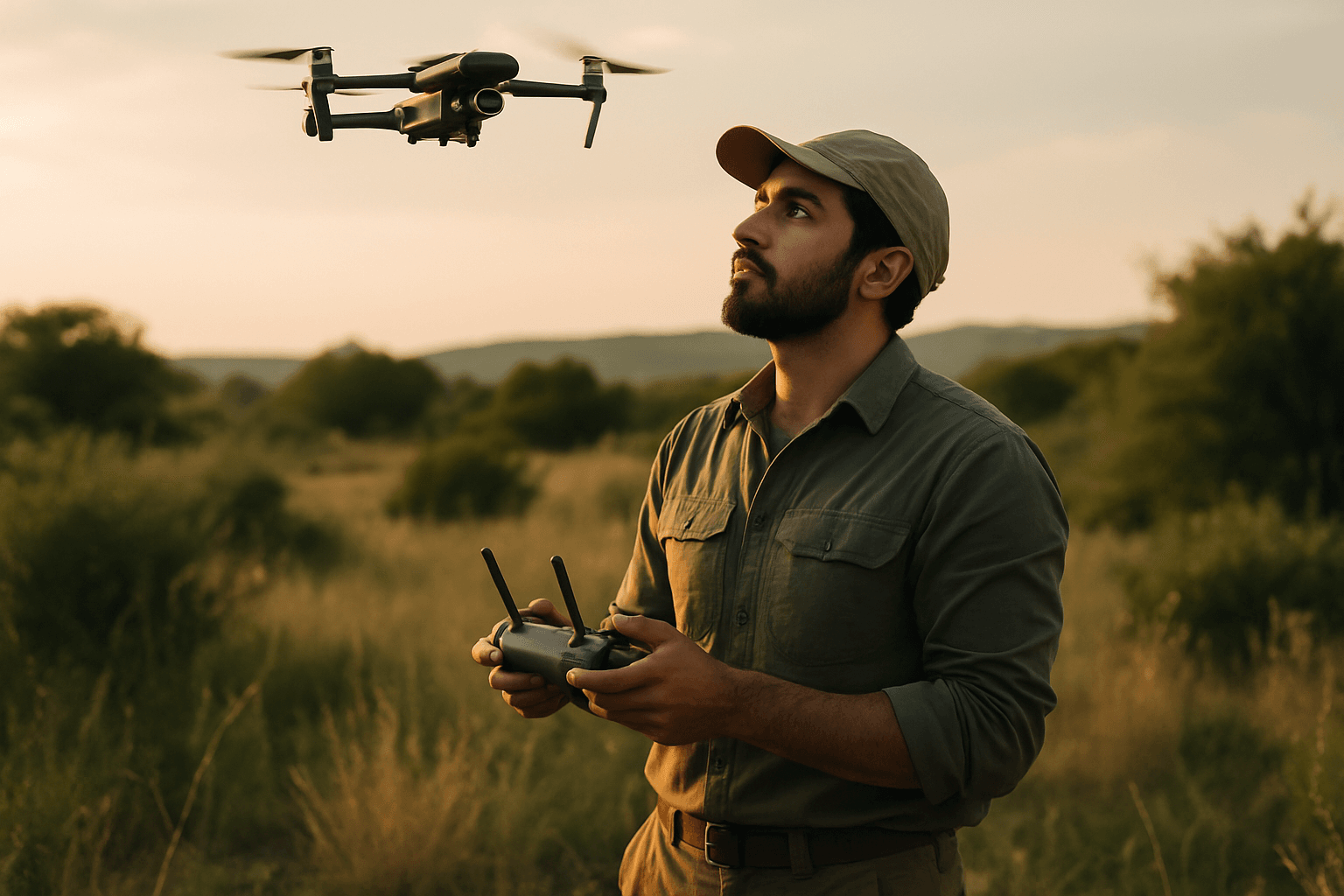
Drones are fundamentally changing this dynamic by providing a flexible, cost-effective, and highly accurate platform for invasive species management. Their ability to fly at lower altitudes and navigate complex landscapes offers a “bird’s-eye view” that enables comprehensive surveillance and rapid data collection across expansive areas. This aerial perspective is crucial for identifying new outbreaks and tracking the spread of existing infestations in near real-time, facilitating quicker responses and reducing ecological impact.
Early Detection and Precision Mapping
One of the most significant advantages of drone technology is its capacity for early detection. Equipped with high-resolution cameras and advanced sensors, drones can identify invasive species before they spread widely, allowing for timely intervention. This capability is vital for both plant and animal invaders. For instance, drones have been successfully deployed to monitor the movement of invasive predators like rats and feral pigs in remote ecosystems using thermal imaging cameras, which can detect heat signatures day and night, even through dense vegetation.
Beyond detection, drones excel at precision mapping. By integrating GPS and LiDAR (Light Detection and Ranging) technology, UAVs can generate detailed 2D and 3D maps of affected areas, precisely identifying the locations and extent of infestations. This mapping capability helps ecologists assess the scale of the problem, prioritize areas for intervention, and document the species’ spread over time. Case studies include monitoring Kudzu and Japanese knotweed in the US and Europe, Hakea salicifolia in Australia, and Giant Reed (Arundo donax) in California.
Advanced Sensory Capabilities for Enhanced Detection
The versatility of drones is amplified by the array of specialized sensors they can carry:
- RGB Cameras: Standard high-resolution cameras capture visible light images, useful for identifying distinct visual features of invasive plants or animals.
- Multispectral and Hyperspectral Imaging: These advanced technologies capture data across various light spectrums, providing detailed information about vegetation health, moisture levels, and other biophysical features. This allows researchers to distinguish between invasive and native plant species based on their unique spectral signatures, even identifying subtle stress signals indicative of early infestation. For example, hyperspectral imaging is being tested to detect oak wilt, an invasive fungus, in Minnesota forests.
- Thermal Imaging Cameras: Essential for detecting invasive animals, thermal sensors pick up heat signatures, enabling tracking of species like feral pigs, foxes, and even Cane Toads, regardless of light conditions or vegetative cover.
- LiDAR: This technology creates detailed 3D models of terrain and vegetation, crucial for mapping complex habitats and understanding how invasives interact with their environment.
Precision Treatment and Control
Drones aren’t just for tracking; they’re also revolutionizing control efforts. One of the most significant advancements is the ability to apply herbicides and other control agents with pinpoint accuracy. Drones equipped with spray tanks and GPS can precisely deliver treatments to specific invasive plants, minimizing damage to native vegetation and significantly reducing the amount of chemicals used. This targeted approach prevents the indiscriminate spraying often associated with traditional methods, which can lead to runoff and unintended environmental damage. This precision has proven effective in controlling species like perennial pepperweed in wetlands and reducing chemical use for agricultural pests like the soybean aphid.
Case Studies and Real-World Impact
Across the globe, drones are demonstrating their value in various invasive species programs:
- Australia’s Cane Toad Control: Drones monitor the movement of these toxic toads across vast landscapes, helping scientists track breeding sites and migration patterns to direct control efforts.
- Hawaii’s Invasive Plant Management: Drones survey large areas to identify outbreaks of species like Miconia calvescens and Gorse, sometimes even delivering herbicides to inaccessible locations.
- New Zealand’s Rat Eradication Program: Drones assist in monitoring invasive rat populations, a major threat to native bird species.
- Targeted Weed Control: In Australia, drones successfully detected Italian Buckthorn, slashed juvenile Gorse, and Cape Wattle with high accuracy, enabling cost-effective, targeted herbicide application in difficult-to-access areas.
- Aquatic Weed Management: Drones are used for managing aquatic invasive plants such as water hyacinth, giant salvinia, and phragmites, reaching sensitive wetland areas without putting human operators at risk.
Benefits of Drone Integration
The adoption of drones for invasive species tracking and management offers a multitude of benefits:
- Efficiency and Coverage: Drones can survey vast areas rapidly and consistently, covering hundreds of acres in a single day, which is crucial for early detection and timely intervention.
- Cost-Effectiveness: By reducing the need for extensive manual labor and expensive manned aircraft, drones cut down operational costs for surveying and treatment.
- Enhanced Data Accuracy and Collection: Drones provide high-resolution imagery and sensor data from precise vantage points, leading to more accurate and detailed information compared to traditional methods.
- Safety: They minimize human exposure to hazardous terrains, chemicals, and dangerous wildlife, making surveillance and treatment safer for personnel.
- Reduced Environmental Impact: Precision application of treatments reduces overall chemical use and minimizes disturbance to sensitive ecosystems.
- Accessibility: Drones can reach areas that are otherwise inaccessible or difficult for ground crews, such as steep slopes, dense forests, or remote wetlands.
Limitations and Future Directions
While drones are undoubtedly a game-changer, their implementation comes with certain challenges. The initial investment in drone equipment and the need for specialized training for operators can be a barrier. Regulatory hurdles, including airspace restrictions and legal requirements, must also be navigated. Furthermore, interpreting the vast amounts of data collected by drones requires expertise in data analysis and often relies on sophisticated software, including AI and machine learning models for image classification.
Despite these challenges, the future of drones in invasive species management is bright. Anticipated advancements include improved battery life, enhanced data analytics, and greater integration with artificial intelligence for autonomous detection and response. The incorporation of drones with the Internet of Things (IoT) could also enable real-time habitat monitoring. It’s important to note that drones are seen as a powerful complement to, rather than a complete replacement for, traditional fieldwork. Balancing drone technology with conventional techniques is vital for a comprehensive approach to preserving biodiversity and protecting ecosystems for future generations.


