Imagine relying on a map that’s off by several feet, or a 3D model with distorted dimensions. For industries from construction and agriculture to environmental monitoring and urban planning, such inaccuracies are not just inconvenient—they can be costly, time-consuming, and even dangerous. This is where drone sensor calibration emerges as a silent, yet pivotal, determinant of mapping accuracy in the rapidly evolving world of Unmanned Aerial Systems (UAS). Without meticulous calibration, the high-resolution data promised by drones can become unreliable, compromising the integrity of entire projects.
Understanding Drone Sensor Calibration
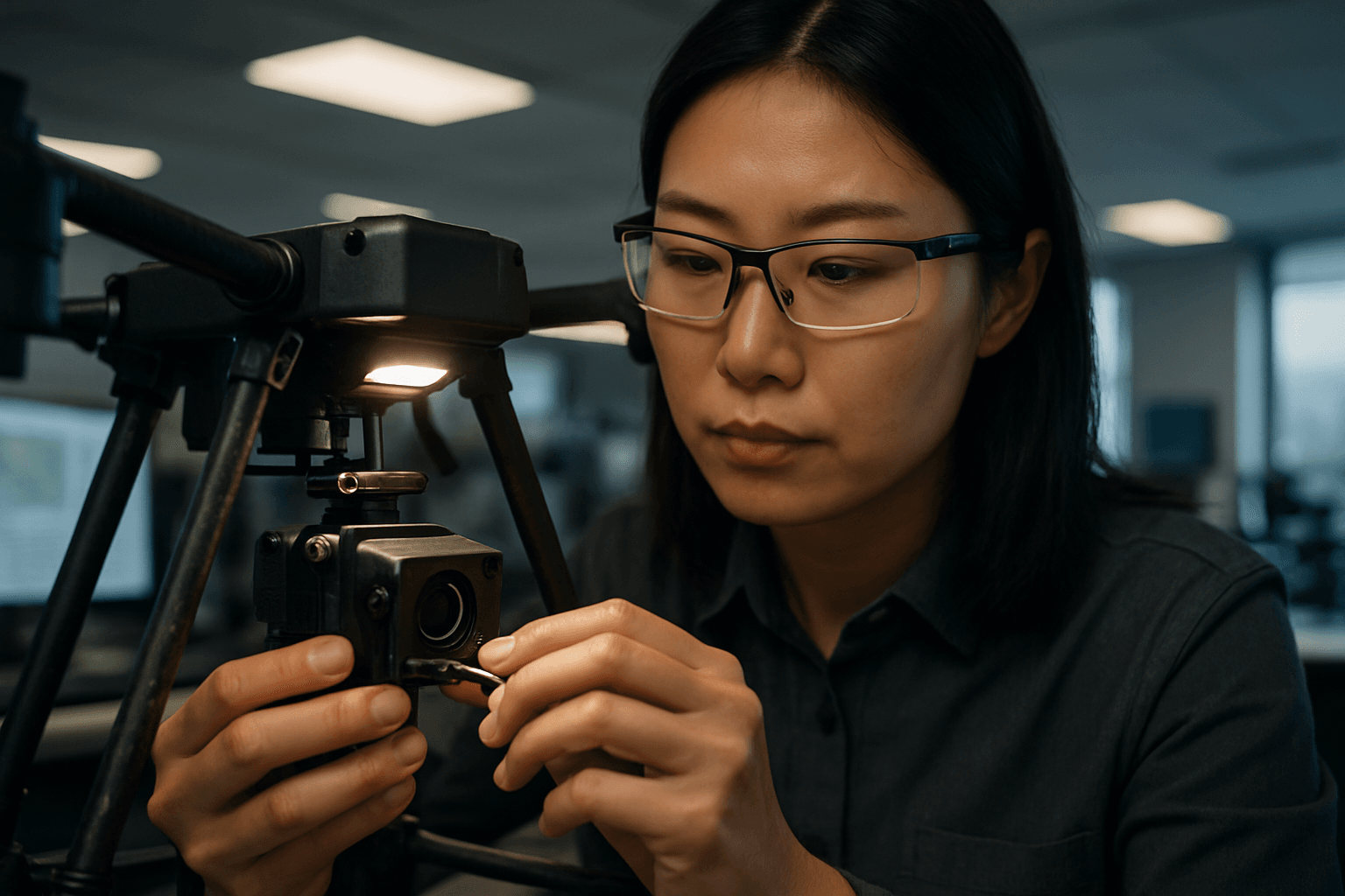
Drone sensor calibration is the systematic process of aligning and fine-tuning a drone’s various onboard sensors to ensure they provide accurate and reliable data. This is crucial because, while sensors may come with factory default calibrations, these may not be sufficient for the drone’s actual operating range or specific application, especially when considering environmental factors like temperature.
What is Sensor Calibration?
At its core, calibration is about correcting discrepancies between a sensor’s raw output and the true physical values it’s meant to measure. For drones used in surveying and mapping, this involves a suite of sensors, including:
- GPS/GNSS Sensors: Critical for precise location tracking and autonomous navigation, providing geo-coordinates for images. GNSS (Global Navigation Satellite System) is a more advanced system than GPS, utilizing multiple satellite networks for enhanced accuracy.
- Inertial Measurement Units (IMU): Combining accelerometers, gyroscopes, and sometimes magnetometers, IMUs measure speed, orientation, and angular velocity, essential for drone stability and movement control. Gyroscopes measure the rate of rotation, while accelerometers measure linear acceleration, both critical for stable flight and accurate data collection.
- Cameras (RGB, Multispectral, Thermal, Hyperspectral): These are vital for aerial photography, mapping, and various analytical applications. RGB cameras capture standard visual data, while multispectral, thermal, and hyperspectral sensors capture specific light wavelengths or heat signatures for specialized analyses like crop health assessment or identifying water leaks.
- LiDAR (Light Detection and Ranging): LiDAR sensors use laser pulses to collect detailed measurements, creating highly accurate 3D point clouds, especially valuable for topographic mapping and penetrating vegetation.
Why is Calibration Essential for Mapping?
Proper sensor calibration is paramount because drones rely on the input from these sensors to accurately determine their position, orientation, and precisely record the data they capture. Over time, or due to environmental factors, these sensors can drift out of alignment, leading to instability, control issues, and, most importantly, inaccuracies in the collected mapping data. Without calibration, sensor errors accumulate, resulting in distorted maps, imprecise measurements, and unreliable 3D models.
The Direct Impact of Calibration on Mapping Accuracy
The direct correlation between sensor calibration and mapping accuracy is well-documented. Uncalibrated or poorly calibrated sensors can lead to significant errors in various mapping products.
Georeferencing Accuracy
Georeferencing is the process of aligning spatial data (like drone imagery) to a real-world coordinate system. The accuracy of this process heavily depends on properly calibrated GPS/GNSS and IMU sensors. If these sensors are not precisely tuned, the geo-tags associated with each image will be inaccurate, leading to maps that do not align correctly with real-world locations. Studies emphasize that processing without camera calibration can result in significantly higher horizontal and vertical root mean square errors (RMSE) in UAV products, demonstrating the necessity of calibration for optimizing accuracy. For instance, one study found that without calibration, horizontal and vertical RMSEs could be as high as 20.0 cm and 22.9 cm, respectively, which drastically reduced with proper calibration. While RTK/PPK systems and Ground Control Points (GCPs) can improve georeferencing, proper sensor calibration provides a foundational layer of accuracy that complements these methods.
Spatial and Geometric Accuracy
For photogrammetry, where multiple overlapping images are stitched together to create 2D orthomosaics and 3D models like Digital Elevation Models (DEMs), camera calibration is critical. It helps to recover interior camera parameters and lens distortion parameters, which are essential for correcting image coordinates before digital image processing. Distortions introduced by uncalibrated lenses can severely affect the geometric accuracy of the final products. A study comparing mapping products computed with and without camera calibration highlighted that self-calibration yielded the least RMSE for both horizontal and vertical accuracy (8.2 cm and 1.4 cm, respectively), significantly outperforming uncalibrated processing.
Radiometric Accuracy
Beyond geometric precision, some mapping applications require accurate measurements of light intensity and spectral reflectance, particularly in agriculture or environmental monitoring where multispectral and hyperspectral sensors are used. Radiometric calibration ensures that the sensor accurately records the intensity of light reflected from surfaces, allowing for consistent and comparable data over time and across different flights. Without it, variations in lighting conditions or sensor sensitivity can lead to false readings, making it difficult to detect subtle changes in crop health or environmental conditions.
Consequences of Poor Calibration
The neglect of proper drone sensor calibration can have a ripple effect, leading to a host of problems:
- Inaccurate Data and Products: The most immediate consequence is the generation of unreliable maps, 3D models, and other geospatial products. This can lead to miscalculations, flawed analyses, and poor decision-making in projects that rely on precise spatial information.
- Increased Costs and Rework: Errors stemming from uncalibrated sensors often necessitate repeated flights and extensive post-processing corrections, driving up operational costs and project timelines.
- Operational Instability and Safety Risks: Incorrect calibration can impact flight stability, leading to erratic movements, drifting, or difficulty maintaining altitude and position. For example, if the compass is not calibrated correctly, the drone may misinterpret its direction, leading to unintended turns or unpredictable behavior during automated flights. In extreme cases, this can pose significant safety risks, including crashes or collisions, especially in complex environments.
- Reduced Efficiency and Productivity: Calibrated sensors provide accurate data, reducing the need for repeated flights or post-processing corrections, which significantly enhances the efficiency of drone operations. Conversely, a lack of calibration hinders efficiency and productivity.
Best Practices for Drone Sensor Calibration
To ensure optimal mapping accuracy, implementing a robust calibration strategy is essential.
- Regular Calibration: Sensors can drift over time, so regular calibration is necessary to maintain accuracy. This is particularly important after firmware updates, significant temperature changes, hard landings, or when operating in new geographic locations with different magnetic fields. Some sources suggest calibrating every 10-15 battery charges or anytime flight performance is unstable.
- Follow Manufacturer Guidelines: Each drone model and sensor type may have specific calibration procedures. Adhering to the manufacturer’s instructions is crucial for precise calibration.
- Optimal Environment for Calibration: Calibrate in an open area, free from structures, power lines, or strong magnetic interference that could skew sensor readings. A flat, level surface is also recommended.
- Utilize Calibration Tools and Software: Specialized software and hardware tools are available to assist with the calibration process, ensuring precise adjustments. Advanced systems are also incorporating AI and machine learning for automated, real-time sensor adjustments.
- Pre-calibration and Self-calibration: Camera calibration can be performed before (pre-calibration) or during the photogrammetric bundle block adjustment (self-calibration). Both methods aim to determine accurate camera parameters. Pre-calibration can be particularly beneficial in the absence of Ground Control Points (GCPs) or in scenarios where image sequences have weak geometry, helping to reduce mapping errors.
- Thorough Documentation: Record all calibration settings and results for future reference, compliance, and troubleshooting.
The Future of Drone Sensor Calibration
The field of drone sensor technology and calibration is continuously evolving. Advancements in AI and machine learning are paving the way for more automated and real-time calibration systems that can predict and adjust sensor settings dynamically. Integration with the Internet of Things (IoT) will enable seamless data sharing and remote calibration, further streamlining workflows. As drones become even more integral to various industries, the emphasis on precise and efficient sensor calibration will only intensify, driving further innovation in the pursuit of unparalleled mapping accuracy.
In conclusion, the impact of drone sensor calibration on mapping accuracy cannot be overstated. It is not merely a technicality but a fundamental process that underpins the reliability, precision, and utility of all drone-derived geospatial data. Investing in proper calibration procedures and understanding its nuances is essential for unlocking the full potential of UAS technology in surveying and mapping applications.


