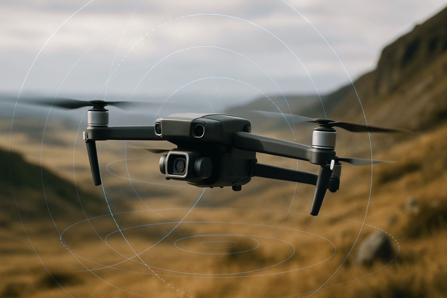
As the use of uncrewed systems expands across various industries, the demand for accurate and cost-effective drone navigation solutions is greater than ever. OxTS, a UK-based company with over 20 years of experience, addresses this need by providing systems that combine high-precision GNSS receivers with their expertise in inertial navigation. OxTS’s products enable drones, as well as automotive and autonomous vehicles, to navigate accurately and economically, even in GNSS-denied environments.
OxTS: Navigating the Future of Drone Technology
OxTS’s solutions are designed to help customers navigate accurately and economically in various environments. Their products are used in UAVs, automotive, and autonomous vehicles, providing reliable navigation even where GNSS signals are weak or unavailable. OxTS’s commitment to innovation and customer needs has made them a trusted provider in the field of inertial navigation.
Accuracy: Achieving Centimeter-Level Precision
OxTS achieves high accuracy in drone navigation through several key technologies:
- Survey-Grade GNSS Receivers: OxTS integrates high-precision GNSS receivers into its systems, allowing for centimeter-level accuracy in optimal conditions.
- Inertial Measurement Units (IMUs): Combining GNSS with IMUs allows OxTS systems to maintain accuracy even when satellite signals are interrupted or unavailable. IMUs measure a body’s specific force and angular rate, which are integrated to calculate position and velocity.
- gx/ix Tight Coupling Technology: This technology allows OxTS INS devices to maintain RTK and PPK-level accuracy even when the number of visible satellites decreases. It protects the accuracy of scans for longer, ensuring reliable data collection.
- LiDAR Boost: OxTS’s WayFinder uses a software called LiDAR Boost that utilizes data from the integrated LiDAR to compensate for missing or erroneous GNSS data in real time, enabling high-accuracy localization in challenging GNSS conditions.
- Advanced Navigation Processing Engine: OxTS has a very advanced navigation processing engine and the ability to integrate different sensors into their navigation engine at minimal effort.
Adaptability: Thriving in Challenging Environments
OxTS’s navigation solutions are designed to adapt to a wide range of challenging environments:
- GNSS-Denied Environments: OxTS systems can navigate accurately in areas where GNSS signals are limited or unavailable, such as urban canyons, forests, and indoor spaces.
- Aerial Mobility: OxTS solutions are suitable for various aerial applications, including fixed-wing and rotary-wing aircraft, piloted drones, and unmanned aerial vehicles (UAVs).
- Sensor Integration: OxTS systems can be integrated with various sensors, such as LiDAR and cameras, to enhance navigation and data collection capabilities. Their systems are able to send navigation data over serial and ethernet and time synchronization data over serial and via PTP making integration simple for most LiDAR units.
- Customization: OxTS offers customizable features that allows users to optimize performance for a wide range of operational needs.
Affordability: Cost-Effective Solutions for Drone Navigation
OxTS offers cost-effective solutions for drone navigation without compromising accuracy or reliability:
- xNAV650: The xNAV650 is OxTS’s smallest, lightest, and most affordable INS to date, combining MEMS IMU technology with survey-grade GNSS receivers. Hardware bundles for the xNAV650 start at under £8000.
- Volume Pricing: OxTS offers volume pricing for large-scale operations, making inertial navigation technology more accessible for fleet operators.
- Software and Post-Processing Tools: OxTS provides free post-processing tools and specialist applications, plugins, and integrations for a wide range of third-party applications and hardware.
Key Products and Technologies
OxTS offers a range of products and technologies designed to enhance drone navigation:
- RED3000 OEM Board: This compact, light, and reliable board combines two survey-grade GNSS receivers with OxTS’s latest IMU technology. It delivers uninterrupted position, orientation, and dynamics in all environments and was the winner of the 2024 “Pitch the Press” competition at Geo Week.
- RT3000 v4 GNSS/INS: The latest upgrade to the RT3000 line delivers accurate position, orientation, and dynamics data in hard-to-navigate environments, such as mines and sewer systems. It can be combined with lidar and other imaging and sensor technologies for construction, surveying, and inspection work.
- xNAV650 INS: This is OxTS’s smallest, lightest, and most affordable INS, designed for UAV mapping and surveying. It combines a best-in-class inertial measurement unit with a survey-grade GNSS receiver to output highly accurate navigation data.
- Survey+: OxTS Survey products have been developed with LiDAR surveying in mind. These systems place accurate navigation data into the hands of surveyors to confidently collect and process data that will produce highly accurate pointclouds.
- WayFinder: A complete localization solution for any environment that functions out of the box with no need for additional hardware, WayFinder uses a new, unique software called LiDAR Boost to provide accurate localization both in, and between, any environment.
- gx/ix Technology: OxTS’s gx/RTK inertial relock technology uses inertial measurements to reduce RTK reacquisition time from up to 20 seconds, to around five seconds, after every interruption.
Applications of OxTS Technology
OxTS’s drone navigation solutions are used in a wide range of applications:
- Surveying and Mapping: OxTS systems are used for topographic surveys, terrain understanding, and asset management. They enable the creation of accurate 3D point clouds for various purposes.
- Infrastructure Inspection: OxTS technology is used to inspect critical infrastructure, such as bridges and railways, identifying potential weaknesses and hazards.
- Construction and Inspection: The RT3000 v4 GNSS/INS can be combined with lidar and other imaging technologies to assist in construction, surveying, and inspection work.
- Mobile Mapping: OxTS systems are used in mobile mapping applications, providing accurate georeferencing of geospatial data.
- LiDAR Surveying: OxTS’s Survey products have been developed with LiDAR surveying in mind. The INS measurements from OxTS can be integrated with LiDAR data to produce accurate, georeferenced pointclouds.
Real-World Examples
- Dronezone srl: OxTS partnered with Dronezone srl to scan an aging railway bridge in search of potential weaknesses. The drone-derived data enabled Dronezone to create an accurate point cloud, analyze the bridge, and determine its structural integrity.
- Bridge Survey: OxTS’ partner Dronezone used the xNAV650 INS in conjunction with a Velodyne VLP-16 to conduct a scan of an aging bridge to look for structural and potential hazards from overgrown foliage. The data fusion resulted in an excellent level of clarity that can be seen in the foliage, electricity lines and side of the bridge.
By combining accuracy, adaptability, and affordability, OxTS is enabling drone operators to achieve more efficient and reliable navigation in a wide range of applications.


