The integration of drones into precision agriculture has ushered in a new era of efficiency, enabling farmers to monitor crop health, manage resources, and optimize yields with unprecedented accuracy. Equipped with advanced sensors, GPS, and imaging capabilities, these unmanned aerial vehicles (UAVs) offer real-time insights into field conditions, from soil moisture to pest infestations. However, the promise of drone technology in remote agricultural areas is significantly challenged by the complexities of maintaining consistent and reliable connectivity.
The Unpredictable Nature of Rural Connectivity
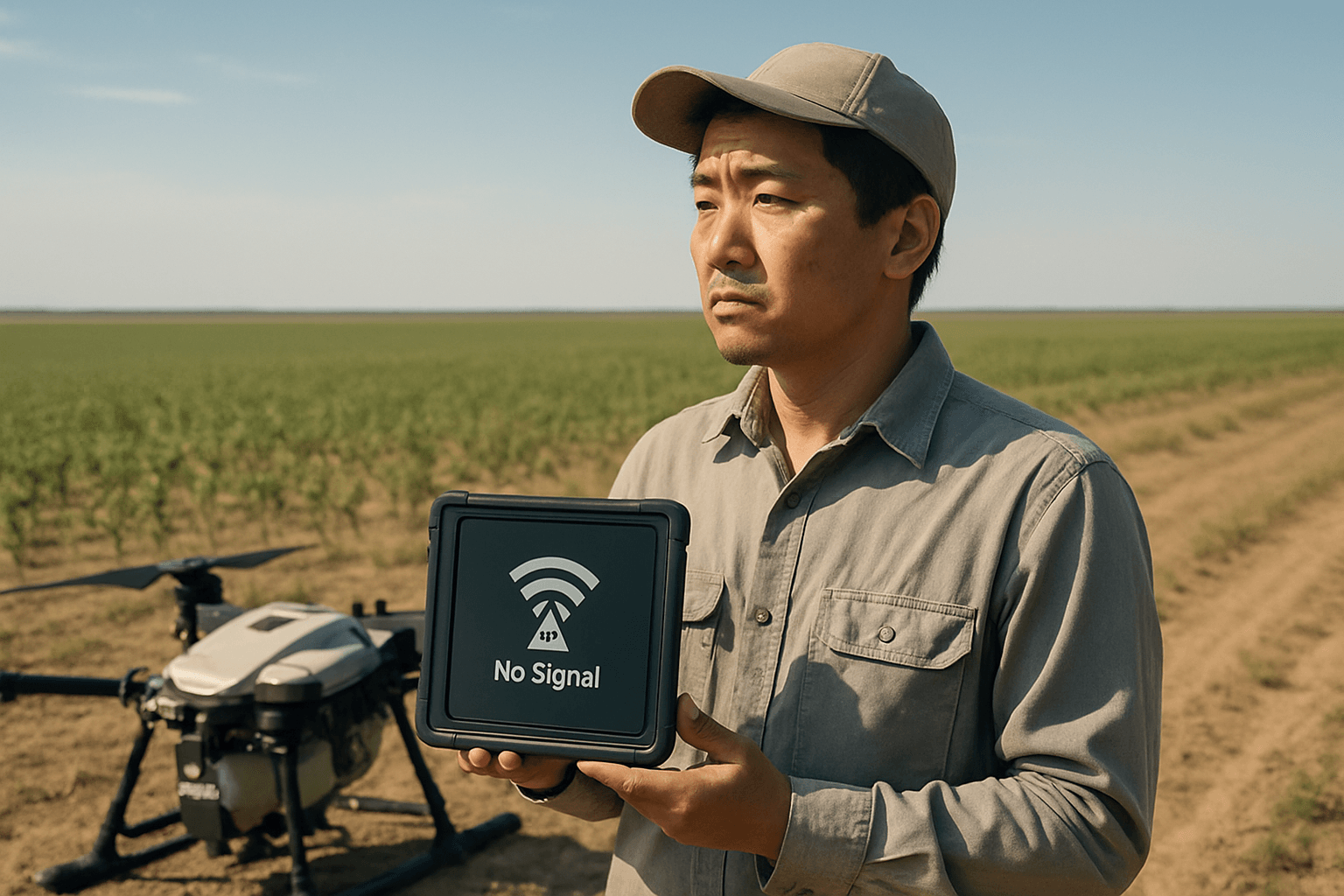
Remote agricultural expanses often suffer from inconsistent network connectivity, a primary hurdle for drones. This unpredictability directly impacts the seamless transmission of real-time data, hindering a farmer’s ability to make prompt decisions based on the drone’s observations. The delay in data transfer can have cascading effects on critical interventions, such as precise irrigation or targeted pesticide application.
Limited Infrastructure and Signal Obstruction
Rural areas frequently lack the robust cellular towers and Wi-Fi networks common in urban environments. This dearth of infrastructure means drones operating over large farms face significant challenges in maintaining communication with ground control stations. Furthermore, the agricultural landscape itself presents physical obstacles. Trees, hills, and even dense crop canopies can block or weaken signals, making effective remote control difficult and impacting GPS accuracy. Signal obstruction can lead to inaccurate planting or fertilizing if GPS-guided machinery loses its signal in valleys or under heavy foliage.
Interference and Atmospheric Conditions
Drone connectivity is also susceptible to various forms of interference. Electromagnetic interference from other devices, or even the sheer number of users on shared frequencies like 2.4 GHz, can disrupt signal quality and range. Switching to less congested frequencies, such as 5 GHz, can help mitigate these issues if supported by the drone. Atmospheric conditions, including ionospheric and tropospheric delays, can further distort GPS signals, leading to inaccuracies in positioning data, particularly during adverse weather events like heavy rainstorms. Extreme temperatures, high humidity, and strong winds can also weaken radio waves, affecting signal strength and stability.
Navigational Accuracy and Data Transmission Demands
Beyond basic control, precision agriculture applications demand highly accurate navigation and substantial data transmission capabilities, posing additional connectivity challenges.
GPS Limitations and Alternatives
While GPS is crucial for drone navigation, enabling pre-set flight paths and “Return to Home” features, it has inherent limitations in agricultural settings. Standard GPS provides accuracy within a few meters, which is often insufficient for precision applications requiring sub-meter or centimeter-level accuracy for tasks like variable rate technology (VRT). GPS signals can be jammed or spoofed, and environmental obstacles like dense urban areas or even remote locations with weak signals can render it unreliable. Research is ongoing into GPS-independent navigation systems, leveraging AI, computer vision, and sensor fusion to enable autonomous drone operations in GPS-denied environments.
High Data Volume and Real-time Requirements
Modern agricultural drones are equipped with multispectral cameras, thermal sensors, and IoT devices that generate massive amounts of real-time data on crop health, soil conditions, and environmental factors. Transmitting this high volume of data from the drone to centralized systems for analysis requires robust and high-bandwidth communication links. Delays in data transfer can severely impact the ability to make timely, informed decisions, undermining the very purpose of precision agriculture.
Addressing the Connectivity Gap
To overcome these challenges, various solutions and emerging technologies are being explored and implemented.
Long-Range, Low-Power Networks (LoRaWAN)
LoRaWAN (Long-Range Wide-Area Network) technology is proving valuable for agricultural drones. Its ability to enable long-range, low-power communication over vast fields allows drones to efficiently transmit data to centralized systems, even in remote areas with limited traditional connectivity. LoRaWAN end devices, typically integrated into the drone’s payload or sensor modules, can send high-value data over distances of up to 15 km with sensors lasting up to 10 years, reducing maintenance costs.
Cellular Networks (LTE/5G)
Cellular networks, including LTE and emerging 5G technologies, are being investigated as a viable alternative for drone communications, particularly for Beyond Visual Line of Sight (BVLOS) operations in rural areas. While cellular networks are optimized for ground users and their antennas are typically tilted downwards, ongoing research aims to adapt them for aerial coverage. Studies have shown the effectiveness of LTE networks for low-capacity command and control (C2) links, especially with sufficient field strength and the use of multiple parallel connections in areas with weak coverage. The FCC is also taking steps to open up dedicated spectrum in the 5 GHz band for drone operations to ensure secure and stable communication links.
Satellite Communication
For drones operating over extremely long distances or in very remote areas, satellite communication offers a robust and global solution for command and control links and data transmission. Satellites can provide continuous communication even in challenging terrains, though bandwidth limitations and latency can be factors to consider. Satellite imagery also complements drone data by providing a broader overview of large terrains and long-term change detection.
Advanced Techniques and Future Outlook
Continuous research and development are focusing on improving drone connectivity through various advancements. These include:
- Improved Communication Systems: Enhancements to communication protocols, signal boosters, and optimized transmission systems can extend operational range and reduce interference.
- Dynamic Spectrum Allocation: Systems that dynamically assign spectrum based on drone operator needs can ensure minimal interference and secure communication links.
- AI and Machine Learning: AI algorithms are being applied to predict and monitor drone connectivity throughout flights, optimize resource allocation, and manage interference.
- Hybrid Power Systems: Addressing battery limitations through innovations like hybrid power systems or battery swap systems can extend flight times and, consequently, operational range.
The ongoing evolution of drone technology, coupled with advancements in wireless communication and AI, promises to progressively bridge the connectivity gap in remote agricultural areas. By overcoming these challenges, drones will increasingly empower farmers with the real-time data and precision capabilities necessary for sustainable and efficient food production.


