The agricultural sector faces immense pressure to optimize water usage, especially with increasing concerns about climate change and water scarcity. Traditional methods of irrigation monitoring can be inefficient, labor-intensive, and often fail to detect leaks until significant water loss has occurred. This article explores how drone thermal imaging, a cutting-edge application of aerospace engineering, is revolutionizing precision agriculture by providing a fast, accurate, and non-invasive solution for detecting irrigation system leaks.
Water is a precious resource, and its efficient management is paramount for sustainable agriculture. Across the globe, irrigation systems are vital for crop production, yet leaks within these systems can lead to substantial water waste, increased operational costs, and reduced crop yields. Identifying these leaks quickly and accurately has historically been a challenging endeavor. However, advancements in drone technology, particularly the integration of thermal imaging, are transforming how farmers monitor their irrigation infrastructure, ushering in an era of unprecedented efficiency and water conservation.
The Hidden Problem of Irrigation System Leaks
Irrigation system leaks, often invisible to the naked eye, pose a significant threat to agricultural sustainability and profitability. From underground pipes to surface delivery channels, leaks can occur due to various factors, including aging infrastructure, ground movement, animal damage, or improper installation. The consequences are far-reaching:
- Water Waste: Even small, undetected leaks can accumulate into massive water losses over time, depleting local water resources and increasing abstraction costs for farmers.
- Increased Costs: Beyond water bills, leaks lead to higher energy consumption for pumping, repair expenses, and potential fines for excessive water use.
- Reduced Crop Health and Yield: Uneven water distribution caused by leaks can lead to areas of under-irrigation, stressing crops, reducing growth, and ultimately impacting harvest quality and quantity.
- Environmental Impact: Runoff from leaks can carry fertilizers and pesticides into natural waterways, contributing to pollution.
Traditional leak detection methods often involve manual inspections, which are time-consuming, labor-intensive, and less effective for large agricultural areas or hidden underground issues.
How Thermal Imaging Drones Detect Leaks
Thermal imaging, also known as infrared thermography, is a non-invasive technology that detects infrared energy (heat) emitted by objects and converts it into a visual image. This technology is ideally suited for leak detection because water often has a different thermal signature than its surrounding environment.
The Science Behind Thermal Leak Detection
When water leaks into soil or other materials, it causes a localized change in temperature.
- Temperature Differential: Leaking water, especially from underground pipes, typically has a different temperature than the surrounding soil or surface. For instance, if the ambient air and ground are warm, cooler leaking water will create a noticeable cold spot in a thermal image. Conversely, if the ground is cold, warmer leaking water might appear as a hot spot.
- Evaporative Cooling: Water accumulating on the surface or saturating the soil beneath the surface will evaporate. Evaporation is a cooling process, meaning wet areas will often appear cooler than dry areas in a thermal image, even if the leaking water itself isn’t significantly different in temperature.
- Material Interaction: Different materials absorb and retain heat differently when wet. Thermal cameras pick up these fluctuations and display them as color-coded images, making otherwise invisible moisture visible.
Drones equipped with specialized thermal cameras fly over agricultural fields, capturing these temperature variations across vast areas. This aerial perspective allows for rapid scanning and identification of anomalous thermal patterns that indicate potential leaks in irrigation pipes, canals, or other water delivery systems.
Benefits of Drone Thermal Imaging for Irrigation Monitoring
The integration of drones and thermal imaging offers a multitude of advantages for precision agriculture:
Enhanced Efficiency and Speed
Drones can cover large agricultural fields significantly faster than manual ground inspections. A single drone flight can survey miles of irrigation infrastructure, collecting comprehensive data in a fraction of the time, thereby reducing labor costs and operational downtime. This allows farmers to make timely decisions about irrigation, ensuring water is applied precisely where and when needed.
High Accuracy and Early Detection
Thermal cameras are highly sensitive to temperature changes, enabling them to pinpoint the exact location of water leaks, even subtle ones that might be invisible to the naked eye. This increased accuracy reduces guesswork and minimizes the need for destructive investigation methods, such as digging up pipes “on suspicion”. Early detection prevents minor issues from escalating into major, costly problems.
Water Conservation and Resource Optimization
By quickly identifying and locating leaks, farmers can undertake prompt repairs, significantly reducing water waste. This precision irrigation approach optimizes water usage, leading to substantial water conservation and promoting more sustainable farming practices. Efficient water use also translates to lower pumping costs and better allocation of valuable resources.
Non-Invasive and Minimal Disruption
Unlike traditional leak detection, which might involve physically inspecting pipes or digging, drone thermal imaging is entirely non-invasive. Inspections can be conducted without disrupting ongoing farming operations or causing damage to crops or infrastructure.
Comprehensive Data and Informed Decision-Making
Thermal imaging drones generate valuable data that, when analyzed, empowers farmers to make informed decisions. The thermal maps can highlight areas with different moisture levels, allowing for tailored irrigation strategies rather than uniform watering. This data can also be integrated with other precision agriculture technologies, such as IoT sensors and AI models, for even more optimized resource management.
Practical Application and Workflow
Implementing drone thermal imaging for irrigation leak detection typically involves several steps:
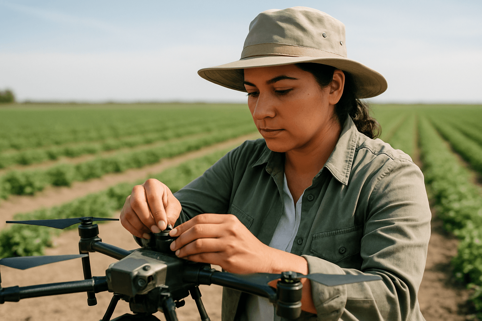
Drone Selection and Thermal Camera Specifications
- Drone Type: Multi-rotor drones are commonly used due to their versatility, hovering capabilities, and ease of navigation in complex agricultural environments.
- Thermal Camera: High-resolution radiometric thermal cameras are essential for capturing detailed temperature data for every pixel, allowing for quantitative analysis. Key specifications include infrared resolution (e.g., 640×512 pixels for sharp images), thermal sensitivity (NETD, often between 30mK and 50mK for detecting subtle temperature differences), and a suitable temperature measurement range. Some cameras, like the Workswell WIRIS system, combine thermal and visible spectrum cameras for comprehensive inspection.
- GPS and Georeferencing: Integrated GPS stabilization and georeferencing capabilities are crucial for accurately mapping thermal images to specific geographic locations in the field.
Flight Planning and Data Acquisition
- Optimal Conditions: Inspections are often most effective during periods of significant temperature differential between the leaking water and the surrounding environment, usually in the early morning or late evening when solar radiation is minimal.
- Flight Path: Automated flight planning software allows for precise, repeatable flight paths to ensure comprehensive coverage of irrigation lines and fields.
- Data Capture: Drones capture thermal images and, in some cases, radiometric video, storing the data for post-processing.
Data Analysis and Interpretation
- Software Processing: Specialized software is used to process the raw thermal data, creating detailed thermal maps of the agricultural area.
- Anomaly Detection: Analysts look for distinct hot or cold spots, irregular thermal patterns, or consistent temperature differentials that indicate the presence of moisture or leaks. AI-powered analytics can also be integrated to automatically highlight potential problem areas, reducing human error.
- Reporting: The analyzed data is compiled into reports, often with georeferenced images, pinpointing the exact locations of identified leaks for targeted repair.
Challenges and Limitations
Despite its immense potential, drone thermal imaging for irrigation monitoring faces certain challenges:
- Cost: The initial investment in high-quality drones, thermal cameras, and specialized software can be substantial, posing a barrier for some smaller farms.
- Technical Expertise: Operating drones and interpreting thermal data requires specialized training and expertise.
- Environmental Factors: External conditions such as ambient temperature, humidity, wind, and direct sunlight can affect the accuracy and clarity of thermal images. Ideal conditions are often necessary for clear detection.
- Regulatory Hurdles: Drone operations are subject to varying regulations regarding airspace permissions and operator certifications, which can create complexity.
- Battery Life and Flight Range: For very large farms, current drone battery life and flight range may still pose limitations, requiring multiple flights or drone swarms.
- Connectivity in Remote Areas: Remote agricultural expanses may suffer from inconsistent network connectivity, which can impact the real-time transmission of data from drones.
The Future of Drone Thermal Imaging in Agriculture
The field of drone applications in precision agriculture is continuously evolving. Future developments are likely to address current limitations and enhance capabilities:
- Improved Sensor Technology: Advances in thermal camera resolution, sensitivity (lower NETD), and multi-spectral integration will provide even more precise and comprehensive data.
- AI and Machine Learning: More sophisticated AI models will enable automated, real-time analysis of thermal data, instantly identifying and classifying leak types and severity.
- Increased Autonomy: Drones with enhanced autonomy will be able to plan and execute missions with minimal human intervention, including navigating challenging terrain and avoiding obstacles.
- Drone Swarms: The use of multiple drones (swarms) could significantly increase coverage area and efficiency for very large agricultural operations.
- Integration with IoT: Seamless integration with existing Internet of Things (IoT) sensors in fields will create a holistic data ecosystem for predictive maintenance and optimized irrigation scheduling.
Conclusion
Drone thermal imaging represents a pivotal advancement in precision agriculture, offering a powerful tool for monitoring irrigation system leaks. By leveraging the unique ability of thermal cameras to detect subtle temperature differentials caused by moisture, farmers can swiftly identify and address hidden leaks, thereby conserving vast amounts of water, reducing operational costs, and fostering healthier crops. While challenges related to cost, expertise, and environmental factors exist, ongoing technological advancements promise to make this innovative solution even more accessible and effective, securing a more sustainable and productive future for global agriculture.


