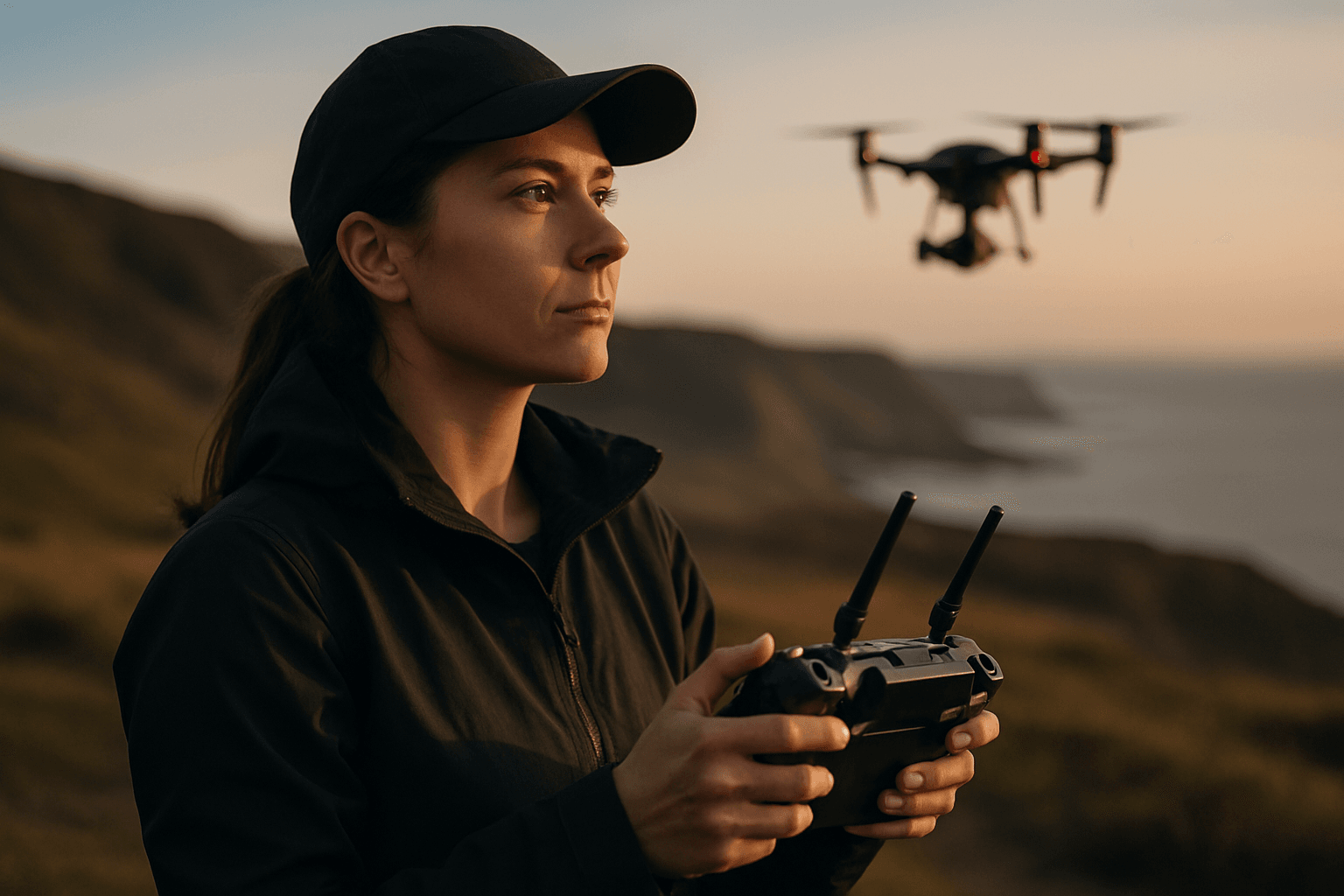
Imagine a future where your urgent package arrives swiftly, not by road, but by air, gently descending from the sky. Drone delivery services promise unprecedented speed, efficiency, and reduced carbon emissions, poised to revolutionize last-mile logistics. However, this futuristic vision often collides with a formidable, unpredictable adversary: the weather. Adverse weather conditions present significant challenges to the widespread adoption and reliable operation of drone delivery systems, impacting everything from flight stability to package integrity. Understanding and mitigating these environmental factors is paramount to unlocking the full potential of drone delivery.
Understanding Key Weather Challenges for Drone Deliveries
Weather elements such as temperature, wind, and precipitation significantly influence drone performance and safety, affecting battery life, internal components, and flight stability.
Wind: The Unseen Force Affecting Drone Stability and Efficiency
Wind is arguably one of the most significant weather factors influencing Unmanned Aerial Vehicles (UAVs), directly affecting their flight stability, path, and energy consumption. Strong winds can easily destabilize drones, making it difficult for them to maintain a stable flight path and increasing the risk of erratic movements or even crashes. Smaller, lighter drones are particularly vulnerable to sudden gusts.
- Destabilization and Increased Energy Consumption: To counteract wind forces and stay on course, drones must expend significantly more energy, drastically reducing battery life and operational flight time. This limits the range and duration of delivery missions, impacting the economic viability of drone services. Most commercial delivery drones can typically operate safely in wind speeds up to 20 to 25 miles per hour; beyond this, risks increase significantly. Some studies suggest that urban wind environments can make existing routes unsafe even for drones rated up to 12 m/s if actual wind speeds exceed 7 m/s.
- Navigation and Directional Challenges: Beyond just speed, wind direction poses complex challenges. Headwinds slow progress, delaying deliveries, while crosswinds can push drones off course, demanding constant, energy-intensive adjustments from the drone’s navigational systems. Wind shear—sudden changes in wind speed or direction—can cause abrupt shifts in position, hindering automated flight paths. Wind can also lead to loss of GPS lock, potentially resulting in crashes or loss of the drone.
Precipitation: A Threat to Electronics, Sensors, and Package Integrity
Precipitation, including rain, snow, and hail, poses significant limitations to drone operations.
- Electronic Damage and Malfunctions: Most commercial drones are not inherently waterproof, making their sensitive electronic components vulnerable to water ingress. This can lead to short circuits, system failure, and permanent damage. Even light rain can damage motors, sensors, and cameras.
- Obscured Sensors and Reduced Visibility: Precipitation can obscure camera lenses and other sensors, making it difficult for drones to perceive their surroundings, navigate effectively, and detect obstacles. Optical sensors (cameras) are particularly affected by rain and fog, while thermal sensors can be impacted by rain cooling surfaces unevenly or high humidity attenuating infrared radiation.
- Icing and Aerodynamic Impact: In cold, moist conditions, ice accumulation on drone surfaces like propellers can significantly alter aerodynamics, reduce lift, increase drag, and add considerable weight. This can lead to stability issues or catastrophic loss of lift. Research indicates that even a thin layer of ice on a drone blade can cause crashes.
Temperature Extremes: Degrading Performance and Durability
Both extremely high and low temperatures can severely degrade drone performance and component longevity, particularly affecting batteries and structural materials.
- Battery Performance and Life: Cold temperatures can lead to decreased battery life, reduced operational time, and increased power consumption due to slower chemical reactions. Conversely, high temperatures can cause lithium-polymer batteries to overheat, accelerating chemical processes, reducing their overall lifespan, and leading to shorter flight durations. Some advanced drones may have operational temperature ranges, for example, from -20 to 45 degrees Celsius.
- Component Overheating and Material Brittleness: High temperatures can cause electronic components to overheat, leading to malfunctions or system shutdowns. Materials used in drone construction can become brittle in extreme cold or expand and contract in fluctuating temperatures, potentially affecting structural integrity. Air density also changes with temperature, affecting lift and forcing motors to work harder in hotter conditions.
Fog and Low Visibility: Navigation and Data Collection Challenges
Fog is essentially a cloud that forms at ground level, composed of tiny water droplets suspended in the air. Reduced visibility due to fog, mist, or heavy rain poses significant challenges to drone navigation, obstacle avoidance, and data collection, particularly for visual line-of-sight operations.
- Loss of Visual Line of Sight (VLOS): Fog severely reduces visibility, making it difficult for the operator to see the drone and its surroundings, increasing the risk of collisions. Regulations often require a minimum visibility for drone operations.
- Sensor Confusion and Signal Interference: Dense fog or precipitation can cause a drone’s sensors (including GPS, LiDAR, and IR) to miscalculate distances, mistake the fog for an obstruction or landing surface, or suffer from signal disruption. The condensed water particles in fog can also corrupt radio frequencies, affecting communication between the drone and its controller, which might lead to delays or complete loss of connection.
Lightning and Electrical Storms: Direct and Severe Risks
Electrical storms and lightning pose a significant and direct risk to drones in flight, making operations during such conditions extremely dangerous.
- Electromagnetic Interference and Damage: Lightning generates powerful electromagnetic fields that can severely impact a drone’s electronic components, disrupting communication and leading to loss of control. The intense electromagnetic pulses can damage sensitive electronic circuits, rendering the drone inoperable. Even without a direct strike, electrical activity can induce voltage surges, overloading circuits.
- Physical Strike Hazards: While less common, a direct lightning strike can cause catastrophic failure, as drones, especially those with metallic parts, can be susceptible.
Mitigating Weather Challenges: Advancements and Strategies
To counter the impacts of adverse weather, drone delivery companies are investing significantly in technological advancements and operational strategies.
Developing All-Weather Drone Technology
There is active research and development into “all-weather drones” specifically designed to operate in extreme conditions, including heavy rain, snow, and high winds.
- Weather-Resistant Design and Materials: Drones are being designed with endurance and resilience in mind. This includes thermal management systems to maintain optimal operating temperature, protective coatings to safeguard against moisture damage, sealed airframes, and waterproof enclosures for components. Many advanced drones feature Ingress Protection (IP) ratings (e.g., IP55, IP67), indicating their resistance to dust and water, allowing operation in rain or snow.
- Advanced Sensors and Flight Systems: Drones are equipped with sophisticated sensors to monitor environmental conditions in real-time. Integrated with advanced flight control systems, these drones can adjust flight parameters autonomously to ensure safe operation. LiDAR combined with radar can penetrate fog for safe autonomous navigation, and multi-spectrum cameras can enable 24/7 operations in low visibility.
- De-Icing and Anti-Icing Systems: Innovations include anti-icing systems and laser-structured heating elements for rotor blades to prevent ice accumulation, a critical hazard in cold, wet conditions. EASA (European Union Aviation Safety Agency) may even mandate anti-icing systems for cold-weather logistics routes.
Operational Strategies and Predictive Modeling
Beyond hardware, intelligent operational planning is crucial for reliable drone delivery.
- Weather Analytics and Predictive Modeling: Companies utilize detailed weather data and predictive models to integrate real-time and forecasted weather data into their operational planning. This allows them to schedule deliveries during favorable conditions or adjust flight paths and speeds to accommodate weather changes. AI-driven systems can process real-time weather data, predict storms, and reroute drones in real-time, boosting on-time deliveries.
- Ground Control Operations: On-ground teams constantly monitor weather conditions and make informed decisions about launching, continuing, or aborting missions based on safety protocols. Advanced Numerical Weather Prediction (NWP) models, which use complex mathematical models to simulate the atmosphere, provide highly accurate weather forecasts for better operational planning.
- Regulatory Frameworks: Drone delivery companies also collaborate with regulatory bodies to create guidelines that ensure safe operation in various weather conditions.
The Future Outlook for Weather-Resilient Drone Delivery
Despite weather-related challenges, the drone delivery industry is continuously innovating to improve weather resilience. Companies like Wing (a Google sister company) have rigorously tested their drones in diverse climates, successfully completing hundreds of thousands of deliveries under various conditions. With ongoing advancements in robust drone design, AI for smarter flight control, and refined operational strategies, drone delivery services are set to become increasingly reliable, capable of operating in a wider range of weather conditions. This not only enhances the efficiency of deliveries but also expands the potential applications of drone technology, paving the way for a truly ubiquitous aerial logistics network. As technology progresses, the limitations imposed by weather will gradually diminish, making drone delivery a dependable reality for everyday life.


