Our planet faces unprecedented environmental challenges, from rapid deforestation and diminishing biodiversity to escalating pollution levels in our air and water. Monitoring these intricate systems with traditional methods often proves to be a costly, labor-intensive, and sometimes dangerous endeavor, yielding data that can be incomplete or delayed. However, a transformative solution is emerging from the skies: the integration of Artificial Intelligence (AI) with drone technology, offering a new era of advanced environmental data analysis that is precise, scalable, and remarkably efficient.
The Limitations of Traditional Environmental Monitoring
Historically, environmental monitoring has relied heavily on manual surveys, static sensor networks, and manned aerial missions. While foundational, these approaches come with significant drawbacks. They often require expensive, specialized equipment and highly skilled personnel, making widespread and frequent monitoring difficult to sustain. Data collection can be time-consuming, susceptible to human error, and limited in its ability to cover large or inaccessible geographical areas like dense forests or remote marine environments. Furthermore, traditional methods struggle to provide the real-time insights necessary for proactive management and cannot inherently foresee future environmental patterns without extensive, often manual, data analysis.
AI-Powered Drones: A New Horizon for Environmental Data
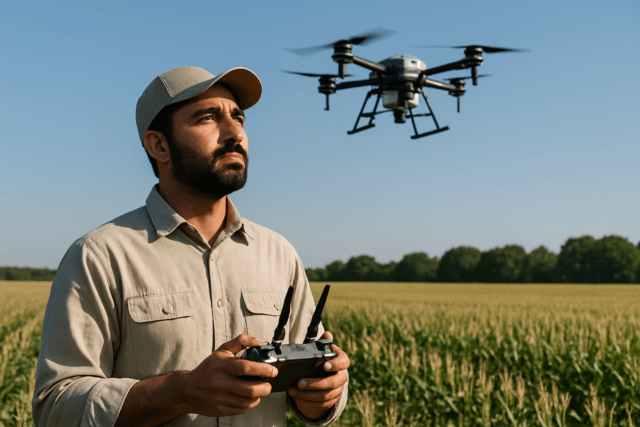
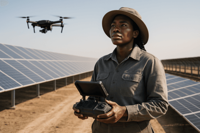
The convergence of drones and artificial intelligence ushers in a new paradigm for environmental monitoring. Drones, or Unmanned Aerial Vehicles (UAVs), can access remote and dangerous habitats, while AI unlocks the potential to process the vast amounts of data they collect. This synergy automates data collection and analysis, enhancing efficiency, precision, and adaptability across various ecosystems.
Equipped with an array of sophisticated sensors, these intelligent aerial platforms capture high-resolution imagery, LiDAR data, thermal readings, and multispectral information. AI algorithms, including machine learning and deep learning models (such as YOLO, Faster R-CNN, and GANs), then transform this raw data into actionable insights through advanced pattern recognition, object detection, and predictive modeling.
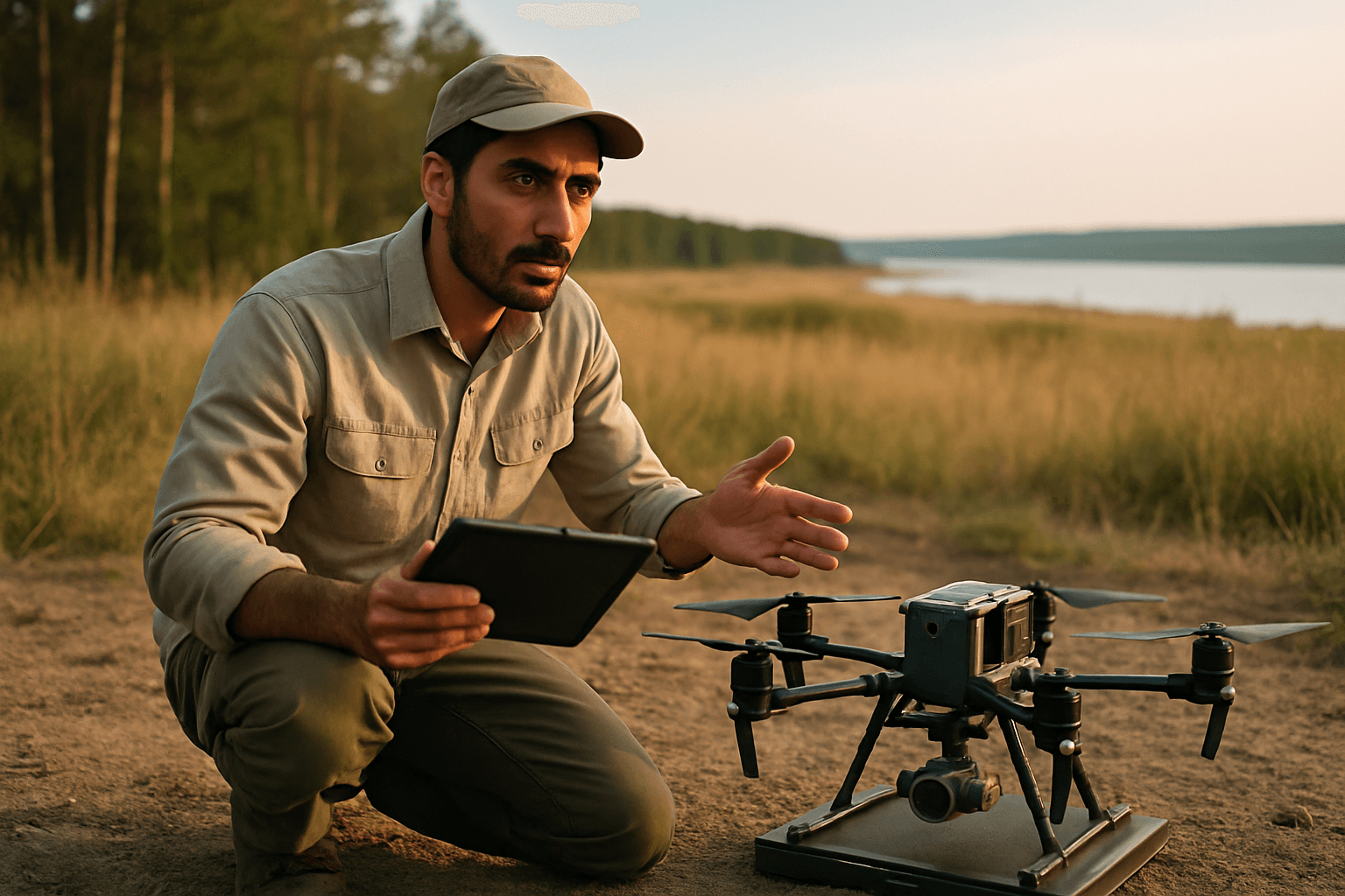
Advanced Sensor Technology for Comprehensive Data Capture
Modern environmental drones are not just flying cameras; they are mobile data collection hubs.
- High-Resolution RGB Cameras: Capture detailed visual imagery for mapping, species identification, and general environmental assessment.
- LiDAR (Light Detection and Ranging): Creates precise 3D models of terrain and vegetation, crucial for forest structure analysis and canopy density measurements.
- Thermal Imaging Sensors: Detect heat signatures, invaluable for wildlife tracking (especially at night), monitoring forest fires, and assessing water temperature anomalies.
- Multispectral and Hyperspectral Sensors: Analyze light across various wavelengths to assess vegetation health, identify plant diseases, track water quality parameters like chlorophyll content, and estimate carbon stock.
- Gas Sensors and Particle Detectors: Measure atmospheric conditions and pollutants, including CO2, methane, sulfur dioxide, nitrogen oxides, and particulate matter, enabling real-time air quality mapping.
- Acoustic Sensors: Record animal vocalizations for biodiversity assessments and detect illegal activities like gunshots or chainsaw noises in protected areas.
- Water Sampling Devices: Allow drones to collect physical water samples for laboratory analysis, complementing in-situ sensor readings for parameters like pH, conductivity, and dissolved oxygen.
Diverse Applications in Environmental Monitoring
The integration of AI with drones is proving invaluable across numerous environmental disciplines.
Wildlife Monitoring and Anti-Poaching Efforts
AI-powered drones are revolutionizing how conservationists protect endangered species and monitor animal populations. They can autonomously identify and track animals like rhinos, elephants, giraffes, and zebras, providing real-time data on their movements and population dynamics without direct human intervention that might disturb them. Machine learning algorithms are trained to differentiate between human activity and animal movements, even distinguishing between wardens and poachers by analyzing behavior. This capability enhances anti-poaching patrols significantly, especially in vast and challenging terrains. AI also assists in identifying specific species, from humpback whales by their songs to whale sharks by their markings.
Forest Health and Deforestation Tracking
Monitoring the world’s forests is a monumental task, but AI drones offer unparalleled capabilities. They assess forest health, track reforestation efforts, and detect early signs of disease or pest infestations by analyzing changes in tree color and structure from high-resolution imagery. LiDAR sensors generate detailed 3D models, helping ecologists study vertical forest structure and identify nesting sites for arboreal species. Drones can also quickly survey large areas to monitor changes in forest cover, identify illegal logging activities, and detect wildfires using thermal sensors, providing real-time alerts to guide firefighting efforts. Some initiatives even use drones to drop seed bombs for reforestation in hard-to-reach areas.
Water Quality Assessment and Ocean Protection
Maintaining clean water sources is critical, and AI drones are contributing significantly. They can track algal blooms, identify pollution sources, and assess the health of wetlands, rivers, lakes, and coastal environments. Drones equipped with multispectral sensors and water sampling devices measure parameters such as temperature, turbidity, pH, conductivity, and contaminant levels. Underwater drones (AUVs) paired with AI can go even further, assessing coral reef health, monitoring marine litter accumulation, and sampling water quality in deep ocean environments without disturbing marine life.
Air Quality Monitoring
The ability to monitor air quality in real-time across broad and dynamic areas is crucial for public health and environmental regulation. Drones fitted with specialized gas sensors and particle detectors measure concentrations of pollutants like CO2, methane, SO2, NO2, particulate matter, and volatile organic compounds. AI-powered analytics can then map pollutant distributions in real-time, enabling authorities to issue timely warnings, enforce regulations, and implement targeted air quality improvement strategies, especially in areas where traditional ground stations are impractical.
Key Advantages of Integrating AI with Drones
The synergistic application of AI and drones offers a multitude of benefits over traditional methods:
- Enhanced Efficiency and Scalability: Drones can cover vast and inaccessible areas rapidly, collecting data more frequently and at a lower cost than ground surveys or manned aircraft.
- Unprecedented Accuracy and Detail: High-resolution sensors combined with AI’s pattern recognition capabilities provide granular data and precise insights that human observation might miss.
- Real-time Insights and Proactive Measures: AI algorithms process data instantly, allowing for immediate detection of anomalies, threats, or environmental changes, enabling rapid response and adaptive management strategies.
- Reduced Human Risk and Disturbance: Drones can operate in hazardous environments or monitor sensitive wildlife habitats without endangering human personnel or disturbing animals.
- Cost-Effectiveness: Automation reduces the need for extensive human labor and expensive traditional equipment, making long-term monitoring more economically viable.
Challenges and Future Outlook
Despite the immense potential, the integration of AI with drones for environmental data analysis faces challenges. Regulatory frameworks for drone operation vary globally and can be restrictive, impacting where and how drones can be flown. Ethical considerations, such as data privacy and the potential for drones to disturb wildlife (e.g., through noise), also need careful navigation. Technical limitations include battery life, weather dependencies, and the need for diverse and generalizable AI models that can perform accurately across different ecosystems and conditions.
However, the future is bright. Continuous advancements in drone technology (e.g., longer battery life, more robust designs) and AI algorithms (e.g., improved deep learning models, explainable AI) are rapidly addressing these limitations. The increasing integration with IoT devices and cloud-based analytics will further enhance large-scale, collaborative environmental research. We can anticipate more sophisticated autonomous operations, including drone swarms working in concert for even broader and more efficient data collection, contributing to predictive population modeling and real-time threat optimization.
The fusion of AI and drones is not just an incremental improvement; it is a fundamental shift in our ability to understand, monitor, and ultimately protect the natural world. By providing eyes in the sky and intelligence in the data, this technology empowers conservationists, researchers, and policymakers with the actionable insights needed to safeguard our planet for generations to come.