The escalating climate crisis demands increasingly precise and pervasive methods for tracking greenhouse gas (GHG) emissions. Traditional monitoring techniques, often labor-intensive, costly, and limited in scope, are being rapidly augmented by a new generation of tools: unmanned aerial vehicles, or drones. These agile platforms are revolutionizing how we detect, quantify, and mitigate emissions, offering unprecedented levels of detail and efficiency crucial for a sustainable future.
The Critical Need for Advanced Greenhouse Gas Monitoring
Greenhouse gases like carbon dioxide (CO2) and methane (CH4) are primary drivers of global warming. Methane, in particular, possesses a global warming potential significantly higher than CO2 over a shorter timeframe, making its accurate detection and mitigation an urgent priority. Industries from oil and gas to agriculture and waste management are significant emitters, and understanding their precise emissions is vital for regulatory compliance, environmental reporting, and developing effective reduction strategies. Current methods often fall short, relying on approximations or broad ground-based surveys that can miss localized hotspots or transient leaks.
How Drones Revolutionize GHG Emission Detection
Drones offer a transformative approach to emission monitoring, overcoming many limitations of conventional methods. Their inherent flexibility and technological sophistication provide numerous advantages:
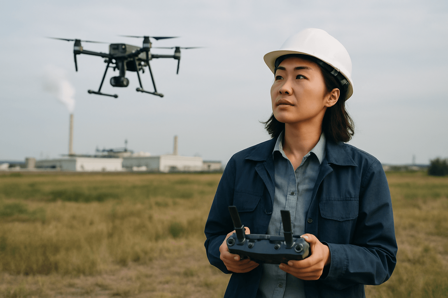
Agility and Access in Challenging Environments
Drones can swiftly navigate difficult-to-reach or hazardous terrains, such as remote pipelines, industrial facilities, offshore platforms, or vast landfill sites, without endangering human personnel. This capability allows for inspections in areas previously inaccessible or prohibitively dangerous for manual surveys.
Enhanced Spatial and Temporal Resolution
Equipped with advanced sensors, drones capture high-resolution imagery and data, providing a far more detailed picture of emission plumes and sources than broader satellite or fixed-point monitoring systems. They can perform repeated surveys with consistent flight paths, enabling accurate change detection over time. This precision allows for the identification of leaks down to parts-per-billion levels and the mapping of emission plumes with high spatial resolution.
Cost-Effectiveness and Scalability
Compared to manned aircraft or extensive ground teams, drone-based monitoring is often more cost-efficient, reducing operational overhead and labor-intensive processes. Their ability to cover large areas quickly further enhances efficiency, making comprehensive monitoring more economically viable.
Key Technologies: Sensors and Analytics for Drone-Based Monitoring
The effectiveness of drone-based GHG monitoring hinges on sophisticated sensor technology and advanced data analysis.
Optical Gas Imaging (OGI) Sensors
OGI cameras utilize infrared technology to visualize gases that are invisible to the naked eye, such as methane, propane, and butane. These sensors are particularly effective for rapid surveying and identifying leak plumes, even from a distance, making them invaluable in industries like oil and gas. Some OGI systems can also quantify the amount of gas leaking.
Laser-Based Sensors (TDLAS)
Tunable Diode Laser Absorption Spectroscopy (TDLAS) sensors offer high sensitivity and precision by measuring gas concentrations through the absorption of specific laser wavelengths. As a laser beam passes through a gas cloud, the energy absorbed by the gas molecules is analyzed, allowing for highly accurate quantification of gases like methane. These systems can detect even minute leaks from significant altitudes.
Miniaturized Gas Analyzers and “Sniffer” Systems
Another approach involves “sniffer” drones equipped with miniaturized gas analyzers, often electrochemical sensor arrays, that directly sample and analyze air at or near ground level. These sensors can detect multiple gases simultaneously and provide detailed concentration distributions. Researchers are also developing low-cost, highly accurate sensors for specific gases like carbon dioxide and methane, leveraging artificial intelligence for source identification.
AI and Machine Learning for Data Interpretation
Raw sensor data is transformed into actionable insights using artificial intelligence (AI) and machine learning algorithms. These systems analyze gas concentration data, correlate it with geospatial information, and can identify emission sources, quantify leak rates, and even predict emission patterns. This capability is vital for turning complex datasets into clear, defensible information for compliance and mitigation efforts.
Diverse Applications Across Industries
Drone-based GHG monitoring is being adopted across a spectrum of sectors:
Oil and Gas Infrastructure
The oil and gas industry is a major focus for methane leak detection due to the potency of methane as a greenhouse gas. Drones equipped with OGI or TDLAS sensors can efficiently inspect extensive networks of pipelines, refineries, storage tanks, and offshore platforms for fugitive emissions. This proactive monitoring enhances safety, ensures environmental compliance with regulations like those from the U.S. EPA, and reduces product loss.
Landfills and Waste Management
Municipal solid waste landfills are significant sources of methane emissions. Drones are effectively used to monitor methane hotspots and ensure compliance with environmental standards. Systems like the Drone Surface Emissions Monitoring (DSEM) automate traditional methods, providing safer, more efficient, and accurate detection of methane concentrations at the landfill surface.
Agricultural Emissions
Agriculture contributes to greenhouse gases, particularly methane from livestock and nitrous oxide from fertilized fields. Drones are being deployed to monitor these emissions, allowing for “precision mitigation” strategies. By providing high-resolution data on methane plumes across agricultural landscapes, drones help farmers evaluate the efficacy of emission reduction techniques and optimize resource management.
Industrial Sites and Urban Environments
Beyond specific industries, drones are used for broader air quality assessments in industrial zones, monitoring pollutants like particulate matter, sulfur dioxide, nitrogen oxides, and volatile organic compounds. In urban areas, they can assess city-wide emissions, contributing to public health advisories and environmental impact assessments.
Challenges and Limitations
Despite their immense promise, drone-based GHG monitoring faces several challenges:
Regulatory Landscape and Airspace Restrictions
Navigating the regulatory environment for drone operations, especially for beyond visual line of sight (BVLOS) flights and over sensitive areas, remains a significant hurdle. Regulations concerning privacy, data ownership, and evidentiary standards are still evolving.
Sensor Calibration and Data Accuracy
Ensuring the consistent accuracy and reliability of miniaturized sensors, especially under varying environmental conditions like wind, humidity, and temperature, requires ongoing research and calibration. UAV-induced airflow disruptions can also affect measurement accuracy.
Endurance and Payload Limitations
Current drone battery life and payload capacity can restrict flight time and the range of sensors that can be carried, limiting their application in very large-scale or long-term continuous monitoring projects. However, advancements are continually improving these capabilities.
The Future of Drone-Based GHG Monitoring
The trajectory for drone-based GHG monitoring is one of rapid advancement and increasing integration.
Longer Endurance and Autonomous Systems
Future drones are expected to offer significantly longer flight times and enhanced autonomous capabilities, allowing for more extensive and routine monitoring missions. Innovations in drone design, battery technology, and energy efficiency will drive these improvements.
Integration with Satellite and Ground Systems
The most effective environmental monitoring strategies will likely involve a hybrid approach, integrating drone data with broader satellite observations and localized ground-based sensor networks. Drones can fill the critical gap between broad global coverage from satellites and labor-intensive ground sampling, providing high-resolution data where and when it’s needed most.
Policy and Standardization
As drone technology matures, there will be a growing need for harmonized regulatory frameworks and standardized data protocols to ensure widespread adoption, interoperability, and the credibility of collected emissions data for reporting and compliance.
In conclusion, drones are rapidly becoming an indispensable tool in the urgent global effort to monitor and reduce greenhouse gas emissions. By offering unparalleled safety, efficiency, and precision in data collection, they are empowering industries, researchers, and policymakers with the critical insights needed to tackle climate change and foster a more sustainable planet.


