The world’s historical sites stand as tangible links to our collective past, offering invaluable insights into human civilization, art, and engineering. However, these irreplaceable treasures face constant threats from natural decay, environmental factors, and human impact. Traditional inspection methods for assessing structural integrity are often costly, time-consuming, and can even pose risks to both the sites themselves and the personnel involved. Enter the revolutionary combination of drones and LiDAR technology, offering a safer, more efficient, and incredibly precise solution for safeguarding our cultural heritage.
The Imperative of Cultural Heritage Preservation
Preserving cultural heritage is not merely about holding onto relics; it’s about safeguarding identity, fostering education, and enriching our present and future. From ancient temples to historic cityscapes, these sites provide a unique window into past societies and architectural prowess. Their continued existence relies on robust monitoring strategies that can detect subtle signs of deterioration before they escalate into irreparable damage. This is where advanced technological solutions become indispensable, moving beyond traditional visual inspections to provide quantitative, detailed data on structural health.
Understanding LiDAR Technology: Seeing Beyond the Surface
LiDAR, an acronym for Light Detection and Ranging, is a remote sensing technology that measures distances by illuminating a target with pulsed laser light and measuring the reflected pulses with a sensor. These measurements generate highly accurate, three-dimensional (3D) point clouds that precisely represent the scanned environment.
The effectiveness of LiDAR stems from its ability to penetrate dense vegetation, such as tree canopies, by capturing multiple returns from a single laser pulse. While some light reflects off leaves and branches, a significant portion reaches the ground, allowing researchers to filter out vegetation data and create a “bare earth” digital terrain model (DTM) of the underlying landscape. This capability is crucial for discovering hidden structures and accurately mapping sites obscured by natural growth.
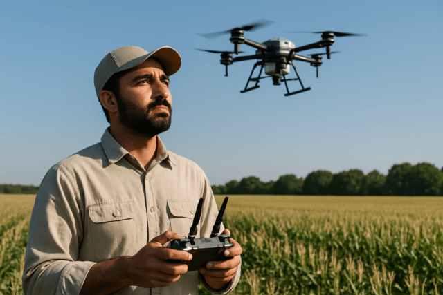
The Drone Advantage: Unmanned Aerial Vehicles in Heritage Monitoring
Integrating LiDAR with Unmanned Aerial Vehicles (UAVs), commonly known as drones, has fundamentally transformed cultural heritage inspection. Drones overcome many limitations of traditional methods, offering significant advantages:
- Enhanced Safety and Accessibility: Drones eliminate the need for human inspectors to access dangerous or hard-to-reach areas, such as high facades, precarious roofs, or structurally compromised zones. This dramatically reduces the risk of accidents and minimizes potential damage to fragile historical structures.
- Non-Invasive Documentation: For delicate sites, any physical contact carries a risk of damage. Drones provide a non-invasive method, capturing comprehensive data without disturbing the original fabric of ancient monuments.
- Efficiency and Speed: LiDAR-equipped drones can survey vast areas quickly and efficiently, gathering millions of data points per second. This significantly reduces the time and resources required compared to manual surveys or even traditional airborne methods.
- High-Resolution Data: Drones can fly at lower altitudes than manned aircraft, resulting in exceptionally high-resolution 3D point clouds with centimeter-level accuracy. This precision is vital for detecting subtle structural changes.
Key Applications of Drone-Based LiDAR in Structural Integrity Monitoring
The precision and versatility of drone-based LiDAR make it an invaluable tool across various aspects of historical site management and structural health monitoring.
Detailed 3D Mapping and Documentation
One of the primary applications is the creation of highly detailed 3D models and “digital twins” of historical buildings and archaeological sites. These digital representations serve as crucial baseline data, capturing the intricate geometry and current condition of a structure with unparalleled accuracy. Such models are essential for comprehensive documentation, aiding archaeologists, historians, and conservationists in understanding complex environments and planning future preservation efforts.
Detecting Subtle Changes and Deterioration
Regular LiDAR scans allow experts to monitor the structural health of historical buildings over time. By comparing successive 3D models, even minute changes such as cracks, deformations, shifts in alignment, erosion, or signs of disintegration can be identified and quantified. This proactive approach enables conservationists to schedule necessary repairs and restoration projects before minor issues become catastrophic. For instance, LiDAR can identify areas at risk from natural disasters like floods or landslides, providing precise elevation data to develop effective mitigation methods.
Archaeological Site Discovery and Analysis
While focused on structural integrity, the ability of drone LiDAR to penetrate vegetation is also revolutionizing archaeological prospection. By uncovering hidden features like buried structures, ancient roads, and irrigation systems, LiDAR provides insights into the original layout and construction of ancient settlements. Understanding the initial engineering and material use of a site is fundamental to assessing its long-term structural integrity and planning appropriate conservation. Case studies in Hawaii, New Hampshire, and Colorado have successfully used LiDAR drones to uncover extensive royal centers, agricultural terraces, and historical villages hidden beneath dense forests.
Disaster Mitigation and Planning
LiDAR technology is extremely helpful in cultural heritage site planning and disaster avoidance. By providing precise elevation data and comprehensive 3D models, LiDAR can assist in identifying regions at risk from natural disasters like floods, landslides, or earthquakes and developing efficient mitigation methods to save these priceless assets.
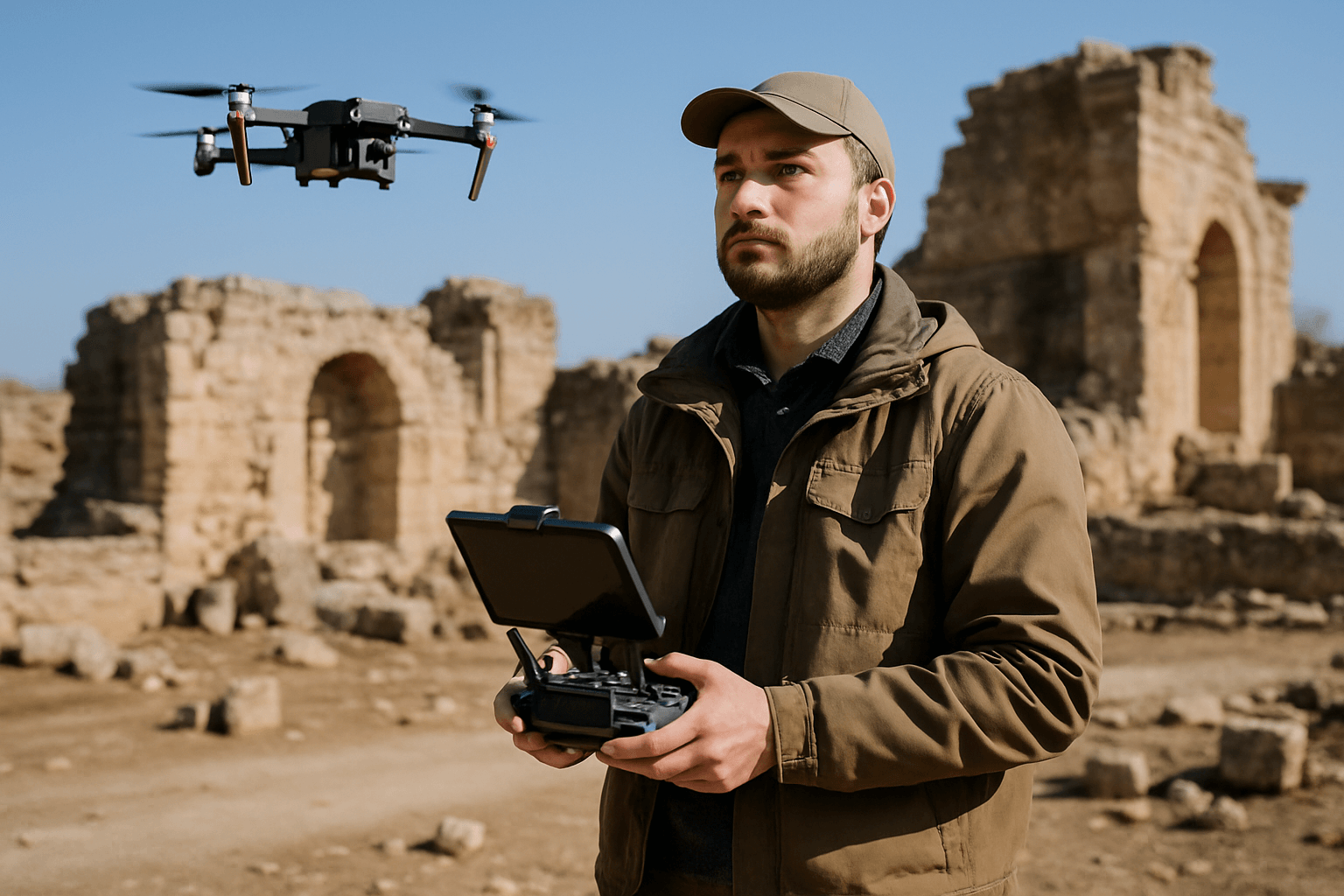
Case Studies: Drone LiDAR in Action
Several notable projects highlight the transformative impact of drone-based LiDAR:
- Bagan, Myanmar: After a 6.8-magnitude earthquake in 2016, pre-earthquake 3D laser scans (digital twins) of Bagan’s cultural sites, gathered for a UNESCO project, proved invaluable. By creating a second set of scans post-earthquake, experts could precisely compare the before-and-after states, providing critical data for engineers and conservators tasked with repairs.
- Angkor Wat, Cambodia: LiDAR has played a crucial role in uncovering hidden aspects of the vast Angkor Wat complex, revealing intricate details and expanding our understanding of this ancient civilization.
- Canyons of the Ancients National Monument, Colorado, USA: Drone LiDAR systems were used to map and uncover 750-year-old structures at Sand Canyon, an ancestral Pueblo site. The technology successfully penetrated dense vegetation, revealing previously obscured archaeological features and even discovering new structures.
- Stonehenge, England: LiDAR has been employed to map the landscape surrounding Stonehenge, identifying previously unknown features like hidden pits and burial mounds. This data offers valuable insights into the monument’s construction and purpose.
- Indigenous Cultural Preservation, Canada: Drones equipped with LiDAR are being used by Indigenous communities to document and archive sacred sites and cultural landscapes with unprecedented detail, including precise 3D models of petroglyphs and village remains.
Challenges and Future Outlook
Despite its immense potential, drone-based LiDAR for cultural heritage monitoring faces certain challenges. These include the initial cost and accessibility of sophisticated LiDAR systems, regulatory constraints governing drone flights, and the significant computational resources required for processing and storing the vast quantities of geospatial data generated. While LiDAR can penetrate most vegetation, extremely dense canopies can still obstruct laser beams from reaching the bare earth, potentially limiting detection success in some specific environments.
Nevertheless, the technology is continuously evolving, with advancements leading to more compact, cost-effective, and sophisticated sensors. The future promises even greater accuracy, efficiency, and broader application, potentially integrating with augmented reality to create immersive educational experiences and further aid in proactive preservation efforts.
Conclusion
The synergy of drones and LiDAR technology is revolutionizing the monitoring of structural integrity at historical sites. By providing unparalleled precision, efficiency, safety, and the ability to “see” through obstructions, these tools offer a critical advantage in the ongoing global effort to preserve our invaluable cultural heritage. As the technology continues to advance, it will undoubtedly unlock new possibilities for understanding, protecting, and sharing the wonders of the past with future generations.