The future of farming is taking flight, quite literally, with the advent of multispectral imaging for crop analysis using drones. Traditional methods of assessing crop health often rely on time-consuming manual inspections or less precise satellite imagery, making it difficult for farmers to react swiftly to issues. However, the integration of advanced drone technology with specialized multispectral sensors is now providing an unprecedented, detailed view of agricultural landscapes, transforming precision agriculture and promoting sustainable practices. This innovative approach empowers farmers to move beyond the limitations of the naked eye, detecting subtle indicators of plant stress, nutrient deficiencies, and pest infestations often before they become visible, thereby enabling timely and targeted interventions.
Understanding Multispectral Imaging in Agriculture
Multispectral imaging is a sophisticated remote sensing technique that captures image data across multiple specific wavelengths of light, including bands beyond what the human eye can perceive. While the human eye sees only the visible spectrum (red, green, blue), multispectral cameras extend this capability to include non-visible light, such as near-infrared (NIR) and red-edge bands.
The Science Behind the Sensors
Multispectral cameras are equipped with filters that isolate these specific spectral bands. Each band corresponds to a narrow range of wavelengths, and the sensors detect the intensity of light reflected or emitted in that range, converting it into digital data. This is crucial because healthy plants and stressed plants reflect and absorb light differently across various wavelengths.
For instance, healthy, green plants typically absorb a significant amount of visible red light for photosynthesis and reflect a large quantity of near-infrared (NIR) light. Conversely, stressed or unhealthy plants reflect more red light and less NIR light. By measuring these subtle differences, multispectral imaging can provide a comprehensive analysis of vegetation conditions.
Common spectral bands used in agricultural multispectral imaging include:
- Blue (450-490 nm): Useful for analyzing vegetation and water resources.
- Green (500-600 nm): Helps identify chlorophyll absorption and plant stress, and can identify weeds.
- Red (600-700 nm): Important for detecting vegetative growth, crop type, and estimating plant biomass.
- Red Edge (700-780 nm): Highly sensitive to changes in chlorophyll content and can detect early plant stress.
- Near-Infrared (NIR) (750-950 nm): Provides insights into plant health, photosynthetic activity, and water content.
Vegetation Indices: Translating Light into Insights
The raw data captured by multispectral sensors is processed using specialized software to generate vegetation indices (VIs). These algorithms compare the proportions of light captured across different spectral bands to quantify various aspects of plant health and vigor.
The most widely used vegetation index is the Normalized Difference Vegetation Index (NDVI). The NDVI formula is:
NDVI = (NIR – Red) / (NIR + Red)
Where NIR is the reflectance measured in the near-infrared band and Red is the reflectance measured in the red (visible) band.
NDVI values typically range from -1 to +1:
- High positive values (close to +1): Indicate healthy, dense vegetation.
- Moderate values (0 to 0.3): Suggest sparse or stressed vegetation.
- Zero or negative values: Usually represent non-vegetated surfaces like water, bare soil, or urban areas.
Other important indices include the Normalized Difference Red Edge Index (NDRE), which is sensitive to chlorophyll content in mid to late-season crops and leaf area variability.
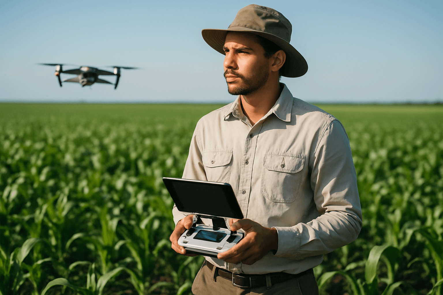
How Drones Revolutionize Crop Analysis
Integrating multispectral cameras with drones has significantly advanced precision agriculture. Drones offer several key advantages over traditional methods and satellite imagery:
- High Resolution: Drones capture imagery at much higher resolutions (centimeter-level) compared to satellites, allowing for detailed analysis of individual plants or specific areas within a field.
- Flexibility and Timeliness: Drones can be deployed quickly and easily, enabling data collection at specific times and frequencies as needed, irrespective of weather conditions (unlike satellites which require clear skies). This is critical for monitoring rapidly changing conditions.
- Cost-Effectiveness and Efficiency: Drones are generally less expensive to operate than manned aircraft and can cover large areas rapidly, reducing labor costs and accelerating project timelines.
- Accessibility: Drones can reach difficult or impossible areas for ground-based vehicles, such as steep terrain or dense vegetation.
- Repeatability and Autonomy: Drones can be programmed to fly predefined flight paths, ensuring consistent and accurate data collection over time, which is essential for tracking changes across growing seasons.
Key Benefits for Precision Agriculture
The insights gained from drone-based multispectral imaging are invaluable for optimizing agricultural practices:
Early Detection of Plant Stress
Multispectral imaging can reveal stress in plants due to insufficient water, nutrient deficiencies, diseases, or pest infestations often days or weeks before symptoms are visible to the human eye. This early warning system is crucial for preventing significant yield losses.
Optimized Resource Management
By pinpointing problem areas, farmers can apply water, fertilizers, and pesticides more efficiently and precisely. This variable rate application reduces waste, lowers costs, minimizes environmental impact, and promotes sustainable farming. For example, identifying water-stressed areas allows for tailored irrigation schedules, conserving water. Similarly, detecting nutrient-deficient zones enables targeted fertilizer application, ensuring healthier crops and better yields.
Crop Health Monitoring and Yield Prediction
Detailed multispectral maps allow farmers to track crop progress over time, assess overall plant vigor, and estimate crop yields more accurately. This data assists in making informed decisions about resource allocation and harvest planning.
Pest and Disease Identification
Infrared imaging can detect heat patterns associated with pest activity, and spectral changes can indicate the presence of diseases, allowing for proactive and targeted interventions.
Soil Analysis and Land Management
Multispectral imaging can also provide insights into soil composition, moisture content, and elevation, aiding in land planning, development, and the design of drainage systems.
Challenges and Future Outlook
Despite the immense benefits, implementing drone-based multispectral imaging for crop analysis does present some challenges. These can include the initial cost of advanced drone platforms and multispectral cameras, the complexity of data processing and analysis, and regulatory hurdles. Specialized software is required to process the raw image data and translate it into actionable insights.
However, the future of this technology is bright, with continuous innovations on the horizon. Integration with artificial intelligence (AI) and machine learning (ML) is enhancing the analysis of vast amounts of agricultural data, leading to more precise yield prediction, improved pest management, and better climate impact assessment. The development of hyperspectral imaging (capturing hundreds of narrower spectral bands) promises even more detailed insights. As technology advances and becomes more accessible, multispectral imaging via drones is set to become an even more integral and indispensable tool for sustainable and productive agriculture worldwide.


