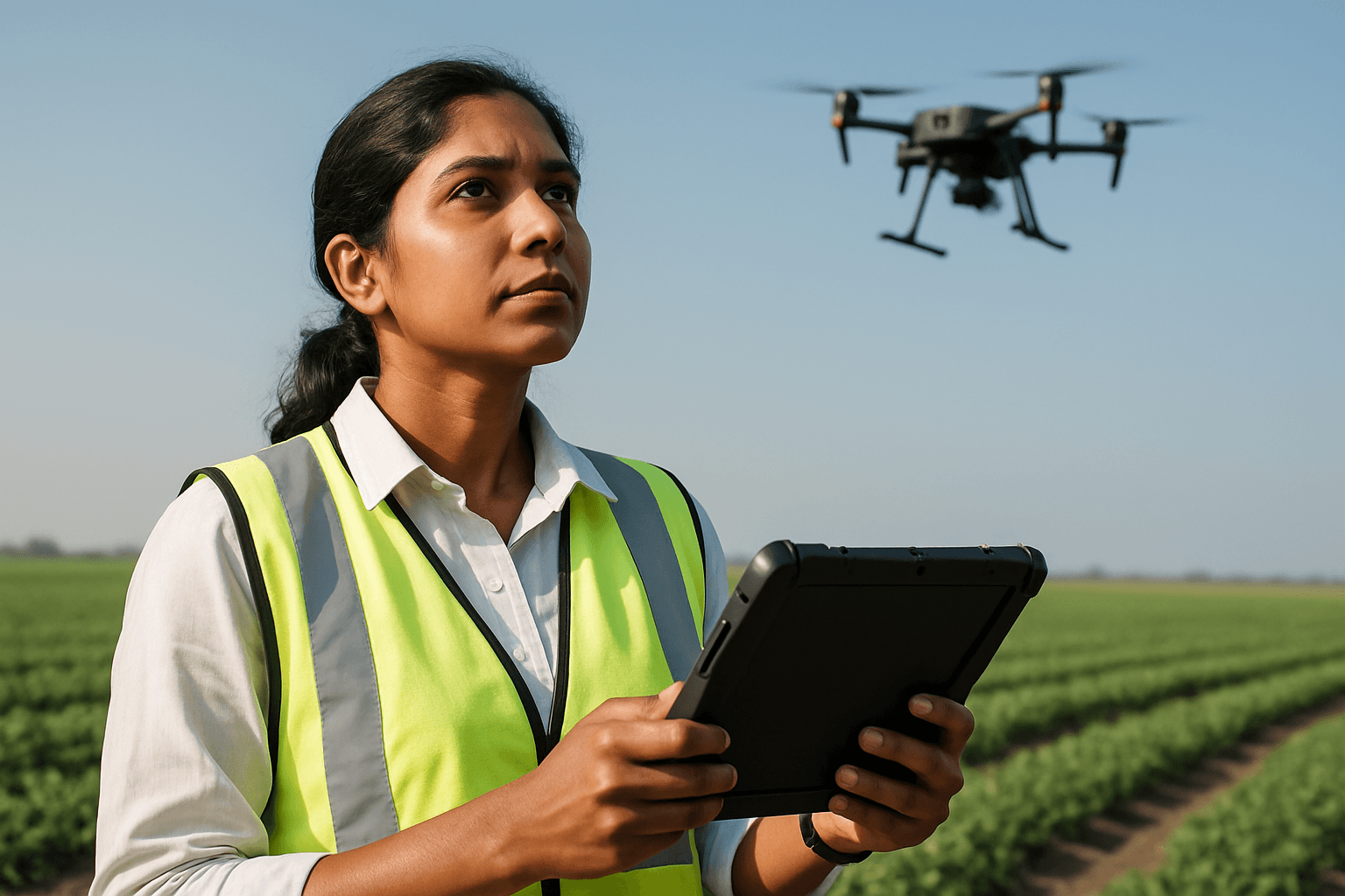
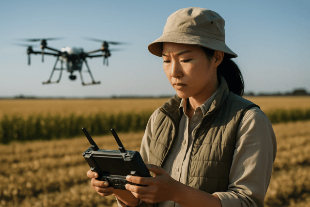
Drone mapping, leveraging Unmanned Aerial Systems (UAS), has revolutionized surveying and mapping by offering unprecedented efficiency and detailed data collection. However, the true value of drone mapping projects in fields like construction, agriculture, and urban planning hinges on the quality and accuracy of the collected data. Inaccurate data can lead to costly errors, misinterpretations, and project failures. Achieving survey-grade accuracy requires meticulous attention to best practices across all phases: pre-flight planning, in-flight data acquisition, and post-processing.
The Pillars of Drone Data Quality
Data quality in drone mapping is influenced by several critical components, including flight planning, GPS precision, camera calibration, and post-processing techniques. A holistic approach that addresses each of these elements is essential for reliable results.
Pre-Flight Planning: Laying the Groundwork for Accuracy
Thorough pre-flight planning is the bedrock of a successful drone mapping mission, preventing errors and ensuring high-quality data collection.
Defining Project Requirements and Scope
Before any drone takes flight, it’s crucial to define the project’s specific needs, including the required level of detail and desired accuracy. This will dictate decisions regarding flight altitude, camera settings, and the overall mission strategy. For example, projects requiring centimeter-level precision will necessitate different parameters than those focused on broader visual inspections.
Equipment Selection and Calibration
The accuracy of aerial mapping heavily depends on choosing the right equipment.
- Drone Type: Multirotor drones offer stability for detailed mapping, while fixed-wing drones are more efficient for covering large areas.
- Sensor Quality: High-resolution cameras with larger sensors and higher pixel density are vital for capturing detailed images. A global shutter is often preferred over an electronic one to prevent distortions like “rolling shutter” caused by drone movement during image capture. LiDAR sensors are excellent for penetrating vegetation and terrain mapping, while photogrammetry is suitable for general surveying.
- Camera Calibration: Accurate camera calibration is paramount in photogrammetry. It involves modeling the relationship between object points and their projections on the image plane, accounting for lens distortions and internal camera parameters (Interior Orientation). Calibration images should ideally be taken under conditions similar to the actual field samples to achieve more accurate results. Regular calibration of the drone’s GPS and Inertial Measurement Unit (IMU) is also recommended for accurate positioning and orientation data.
Mission Planning Software and Parameters
Specialized mission planning software is essential for optimizing flight paths and ensuring comprehensive coverage.
- Flight Altitude and Ground Sample Distance (GSD): Flight altitude directly affects the GSD, which is the real-world size of a pixel in the images. A lower GSD (meaning higher resolution) is achieved by flying lower, providing more detail and increased accuracy. However, lower altitudes also increase flight time and the number of images required. The optimal GSD should align with project accuracy requirements.
- Image Overlap: Sufficient image overlap is fundamental for accurate 3D model reconstruction and orthomosaic generation. Best practices recommend at least 70-75% front (forward) overlap and 60-70% side (sidelap) overlap to prevent data gaps and ensure seamless stitching. Capturing slightly beyond the area of interest also helps improve accuracy.
- Flight Speed: Flight speed can impact image quality, potentially causing blur or distortion due to rolling shutter effects if too fast.
- Weather Conditions: Poor weather, such as strong winds, can cause drone movement and blurry images, reducing accuracy. Low light conditions can also lead to shadow distortions. Flight operations should avoid such conditions to ensure optimal data capture.
In-Flight Data Acquisition: Precision in Execution
During the flight, consistent execution of the planned mission is key to maintaining data quality.
Ground Control Points (GCPs)
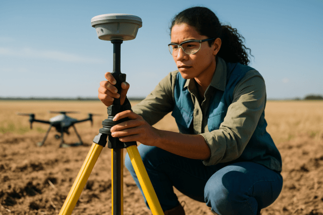
Ground Control Points (GCPs) are accurately surveyed physical markers placed on the ground, serving as crucial reference points for aligning aerial images with real-world coordinates. They are fundamental for improving the absolute accuracy of drone mapping and reducing errors from meters to centimeters.
- Placement Strategy: GCPs should be distributed evenly across the survey area, including one near each corner and at least one in the center. For larger or irregularly shaped sites, more GCPs may be necessary. It is recommended to use at least five GCPs for high accuracy. They should be highly visible, free from obstructions like shadows or vegetation, and ideally placed on flat surfaces to avoid elevation inaccuracies.
- Survey-Grade Measurement: GCPs must be surveyed using high-precision equipment (e.g., survey-grade GPS or total stations) to capture accurate latitude, longitude, and elevation coordinates, often within a few centimeters.
- Checkpoints: In addition to GCPs, checkpoints are used to independently validate the accuracy of the processed data. They are surveyed similarly to GCPs but are not used in the processing, only for verification.
RTK and PPK Systems
Real-Time Kinematic (RTK) and Post-Processed Kinematic (PPK) technologies significantly enhance GPS accuracy, providing centimeter-level positioning data for drone mapping.
- RTK (Real-Time Kinematic): RTK drones receive real-time corrections from a nearby GNSS base station or network during flight, enabling immediate, highly accurate geotagging of imagery. This can save time in post-processing. However, RTK relies on a continuous, stable data link, which can be susceptible to signal interruptions in challenging environments like urban areas or areas with dense vegetation.
- PPK (Post-Processed Kinematic): PPK drones record raw GNSS positioning data during flight, which is then corrected in the post-processing phase using data from a base station. This method offers greater robustness as it doesn’t depend on a continuous real-time connection, making it ideal for longer flights or areas with poor connectivity. PPK can often achieve slightly better accuracy and consistency than RTK by mitigating issues from momentary signal disruptions. Even with RTK/PPK drones, GCPs are still beneficial for quality control and verification, though fewer may be required.
Post-Processing: Refining the Raw Data
After data collection, the post-processing stage is critical for refining raw drone data and generating accurate deliverables.
Image Review and Filtering
Before processing, review all captured images. Blurry, over/underexposed, or images containing large portions of the horizon or moving objects should be removed as they can introduce errors. Scenes with repeating patterns (e.g., forests, agricultural fields) can also be challenging for software; increasing overlap or altitude can help in these situations.
Photogrammetry Software and Techniques
Utilize specialized photogrammetry software (e.g., Pix4D, DroneDeploy, Agisoft Metashape) to process images and generate orthomosaics, point clouds, and 3D models.
- Orthorectification: Corrects image distortions caused by terrain variations, ensuring geometric accuracy.
- Georeferencing: Aligns drone images with accurate GPS coordinates, often by matching tie points and GCPs. When using RTK/PPK data, some software can fix image locations to use the high-accuracy GPS data, and this option should typically not be used with GCPs to avoid distorting accuracy values.
- Point Cloud Filtering: Removes noise and distortions from LiDAR or photogrammetry data, leading to cleaner and more precise models.
- Data Stitching Algorithms: Advanced algorithms, often AI-powered, enhance mapping precision during the stitching process.
Data Validation and Quality Control
The final step involves rigorous data validation to ensure the accuracy and reliability of the outputs.
- Comparison with Checkpoints: Validate the processed map or model against independent checkpoints. This verifies the accuracy and georectification of the data.
- Accuracy Reports: Generate and review quality reports from the processing software, which often include details on achieved accuracy and potential areas of concern.
- Coordinate System Standards: Ensure all data aligns with relevant coordinate systems and mapping standards for seamless integration into broader projects.
Conclusion
Ensuring high data quality in drone mapping projects requires a comprehensive, multi-stage approach. From selecting the appropriate UAS and sensors, meticulously planning flight paths with optimal overlap and GSD, to strategically placing and surveying ground control points, and finally, employing advanced post-processing techniques, each step plays a vital role. By adhering to these best practices, professionals in surveying, construction, and other industries can unlock the full potential of UAS technology, producing highly accurate, reliable, and survey-grade geospatial data for informed decision-making and successful project outcomes.

