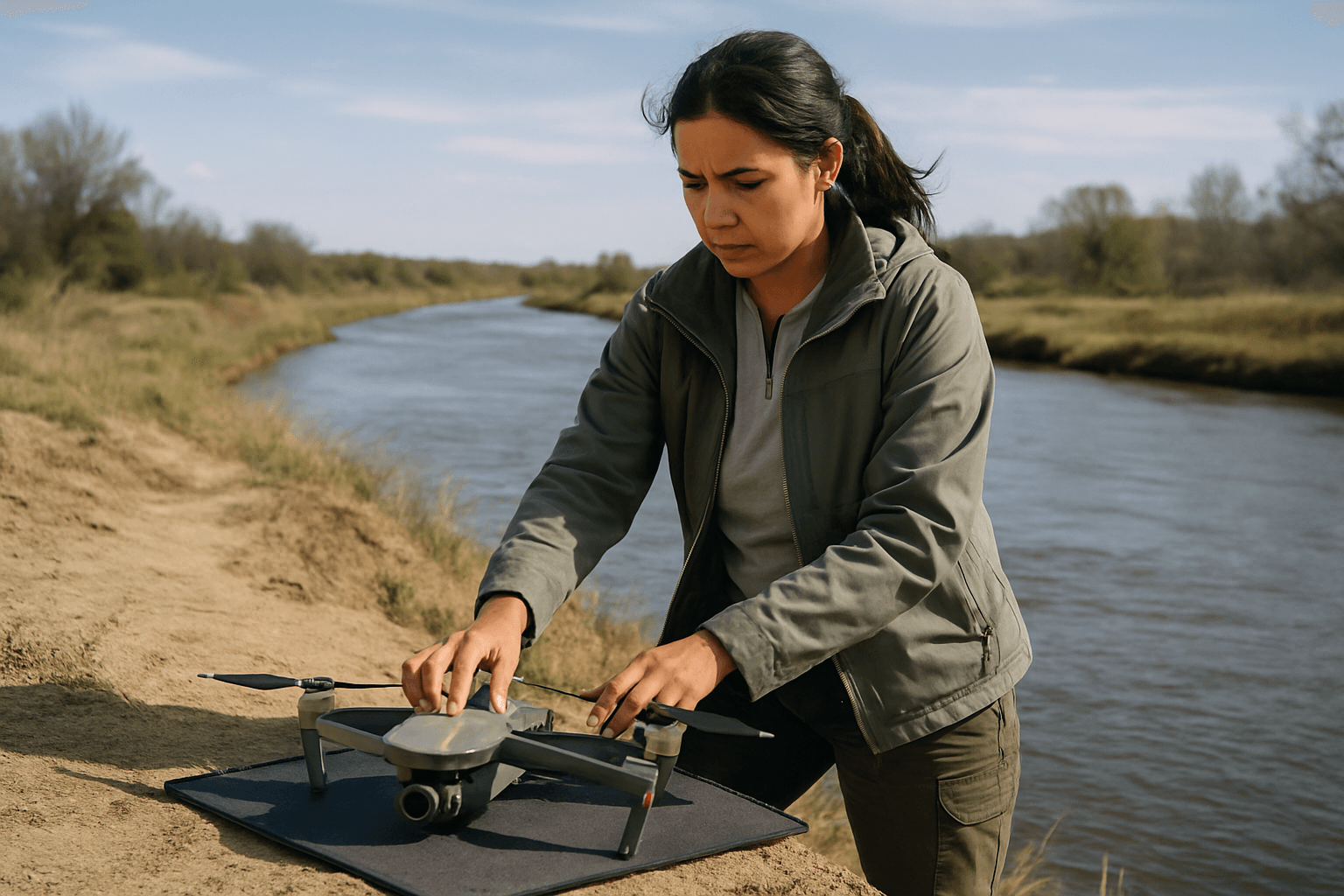
The integration of drone technology has revolutionized infrastructure inspection, offering unprecedented efficiency, cost savings, and enhanced safety by reducing the need for human inspectors in hazardous environments. Within the rail industry, Unmanned Aerial Vehicles (UAVs) provide a “bird’s eye view” for inspecting vast networks of tracks, bridges, tunnels, and other critical assets, identifying issues like cracks, wear, and vegetation encroachment with precision and speed. However, operating drones in the dynamic and inherently dangerous environment of active railways presents unique and significant safety considerations that demand meticulous planning, strict adherence to regulations, and advanced operational protocols.
The Promise and Peril of Drones in Rail Inspection
While drones significantly enhance safety by minimizing the time workers spend on active tracks and enable more frequent inspections, the very nature of their operation near active rail lines introduces a complex set of risks. The speed and unpredictable schedules of trains, the presence of high-voltage overhead lines, the potential for electromagnetic interference, and the critical nature of railway operations necessitate a robust safety framework. Failure to manage these risks can lead to catastrophic accidents, endanger lives, disrupt vital transportation, and cause substantial damage to railway infrastructure.
Key Safety Considerations for Drone Operations Near Railways
Successful and safe drone operations near active railways hinge on a multi-faceted approach addressing regulatory, operational, environmental, and technological factors.
Regulatory Compliance and Authorization
One of the most critical aspects is navigating the complex web of regulations and obtaining proper authorization. In many countries, flying drones near, on, or over railway infrastructure is considered extremely dangerous and often requires specific permissions.
- Aviation Authorities: Operators must comply with national aviation regulations, such as Part 107 in the United States, which includes rules like maintaining visual line of sight (VLOS) and only flying in good weather conditions.
- Railway-Specific Permissions: Railway companies typically have their own stringent rules and often consider their property as restricted airspace. It is crucial to obtain explicit written permission from the relevant railway authority (e.g., Network Rail in the UK) before any operation. Some railway operators, like BNSF, have sought and received exemptions from federal aviation regulations to conduct beyond visual line of sight (BVLOS) operations for inspection purposes, but these are highly controlled and limited to property owned or controlled by the railway.
- Trespassing Laws: Taking off, landing, or operating a drone from railway property without permission is typically illegal and can result in charges of trespassing.
- Public Liability Insurance: Professional drone operators are usually required to have public liability insurance, often with a significant minimum value (e.g., £5,000,000 in the UK for operations near railways).
Operational Planning and Risk Assessment
Thorough pre-flight planning and a comprehensive risk assessment are indispensable.
- Site Surveys: Detailed assessment of the operational area, identifying potential hazards such as overhead lines, signal systems, and varying terrain.
- Understanding Railway Schedules: Knowledge of train movements and schedules is vital to avoid conflicts, although unexpected trains can always occur. Communication with relevant railway control centers is paramount.
- Pre-flight Checks: Meticulous pre-flight inspections of the drone, including battery levels, GPS functionality, sensor calibration, and payload integrity.
- Emergency Procedures: Clearly defined protocols for emergencies such as drone malfunction, flyaway, loss of signal, or unexpected train approach.
- Systematic Flight Paths: Employing systematic flight paths, such as grid patterns or concentric circles, ensures comprehensive data capture while minimizing the risk of missing critical areas or objects.
Proximity and Airspace Management
Maintaining safe distances and managing airspace effectively are fundamental.
- Minimum Safe Distances: Drones must maintain a safe horizontal distance from people and moving vehicles, including trains. For instance, in the UK, a minimum horizontal distance of 50 meters from people and transport (cars, lorries, trains, boats) is required. Some authorized BVLOS operations by railway companies specify operating within 100 feet vertically and +/-100 feet laterally from the centerline of the rail track over property owned by the railroad.
- Altitude Limits: Adhering to legal height limits, typically 400 feet (120 meters) above ground level, and adjusting flight paths over uneven terrain to remain within these limits.
- Collision Avoidance: Awareness of other potential airspace users, including railway company helicopters, and ensuring the drone does not pose a hazard to any aircraft.
Environmental and Weather Factors
Weather conditions significantly impact drone stability, control, and data quality.
- Wind: Strong winds can destabilize drones, making precise control difficult and increasing the risk of drifting into unsafe areas.
- Precipitation: Rain, snow, or fog can impair visibility, damage drone electronics, and compromise the quality of collected data.
- Visibility: Operations require bright, clear conditions for effective visual inspection and maintaining visual line of sight.
Personnel Safety and Public Awareness
Protecting both the drone operating crew and the public is paramount.
- Operator Distraction: The presence of drones can be a distraction for railway workers, which is a significant safety concern for rail labor organizations.
- Exclusion Zones: Establishing clear exclusion zones for the public and ground staff to prevent injury from a falling drone or debris.
- Communication with Workers: Mandating worker notification before any drone activity is recommended by some rail unions to mitigate distraction risks.
Drone Technology and Features
Modern drone technology offers features that enhance safety, but they are not foolproof.
- GPS Accuracy and Redundancy: Reliable GPS is crucial for navigation and maintaining position, especially near large metallic structures that can interfere with signals.
- Geofencing: Pre-setting no-fly zones within the drone’s software to prevent accidental entry into restricted airspace.
- Obstacle Avoidance Systems: Sensors that help drones detect and avoid collisions with structures or moving objects.
- Return-to-Home Functionality: An automated safety feature that guides the drone back to its launch point in case of signal loss or low battery.
Potential Risks and Mitigation Strategies
Operating drones near railways introduces specific hazards that require dedicated mitigation.
Collision with Trains or Railway Infrastructure
A collision could lead to serious accidents, derailments, and extensive damage to vital equipment like overhead wires or pylons, causing significant delays and repair costs.
- Mitigation: Strict adherence to railway schedules, clear communication with railway control, maintaining minimum safe distances from tracks and moving trains, and using trained, authorized pilots.
Electromagnetic Interference (EMI)
Railway electrical systems, including overhead lines and signal systems, generate electromagnetic fields that can disrupt drone control systems. This interference can affect GPS accuracy, compass stability, and overall flight control, leading to unpredictable drone behavior or crashes.
- Mitigation: Maintaining a safe distance from high-voltage lines, pre-flight testing in the operational environment to identify areas of potential interference, and using drones designed with enhanced EMI shielding. Consulting with railway authorities about localized radio frequency (RF) from GSM-R and signal systems is also crucial.
Drone Malfunction or Flyaway
Mechanical failure, battery depletion, or loss of control signal can lead to a drone falling from the sky, potentially hitting people, staff, or railway equipment, causing injury or damage.
- Mitigation: Regular maintenance, thorough pre-flight checks, operating within VLOS, having contingency plans for emergency landings, and utilizing drones with redundant systems and reliable return-to-home features.
National Security and Privacy Concerns
The presence of drones, especially over critical infrastructure, raises concerns about potential surveillance by unauthorized parties or even the risk of drones being used for malicious purposes, given that railways often transport hazardous materials. Additionally, there are privacy implications if drones capture unintended personal data.
- Mitigation: Strict regulatory oversight, authorization processes, and potentially, advanced drone identification systems. For legitimate operations, ensuring data security and adhering to privacy laws are essential.
Best Practices for Safe Drone Operations
To maximize the benefits of drone technology while minimizing risks, organizations and operators should adopt comprehensive best practices:
- Obtain All Necessary Permissions: Secure authorization from both aviation authorities and the specific railway operator.
- Conduct Thorough Risk Assessments: Identify, evaluate, and mitigate all potential hazards specific to the railway environment.
- Employ Certified and Experienced Pilots: Ensure operators are highly trained, possess the required qualifications, and are familiar with railway operations.
- Maintain Visual Line of Sight (VLOS): Unless specifically authorized for BVLOS operations, the drone must remain within the operator’s unobstructed visual sight.
- Prioritize Communication: Establish clear communication protocols with railway control, ground crews, and the drone operating team.
- Monitor Weather Conditions Closely: Do not operate in adverse weather that could compromise flight stability or visibility.
- Utilize Advanced Drone Features: Leverage geofencing, obstacle avoidance, and redundant systems for enhanced safety.
- Adhere to Minimum Distances: Strictly observe all stipulated minimum safe distances from tracks, trains, personnel, and overhead lines.
The Future of Drone Integration in Rail Safety
As drone technology continues to evolve, with advancements in automation, AI, and machine learning, its role in railway inspection and maintenance is set to expand further. Automated drone platforms and advanced analytics software are already helping detect track safety issues with high-resolution imagery. The goal is to integrate these tools seamlessly into railway operations, ensuring that the benefits of efficiency and enhanced safety are realized without compromising the inherent safety of rail transport. This ongoing evolution will necessitate continuous updates to regulations, development of industry-specific standards, and robust training programs to keep pace with technological advancements and emerging safety considerations.


