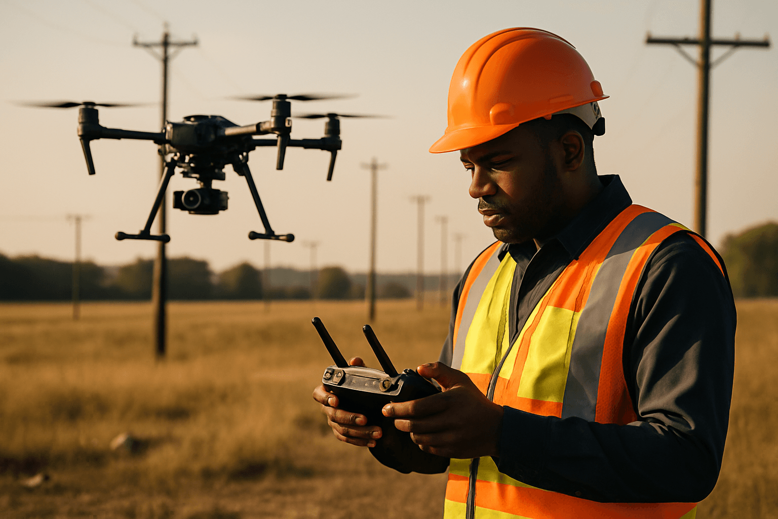
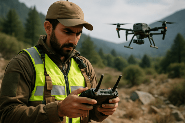
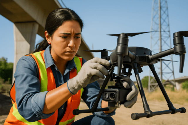
Drone technology has revolutionized utility pole inspections, offering a safer, more efficient, and cost-effective alternative to traditional methods. By leveraging unmanned aerial systems (UAS), utility companies can gather detailed data, enhance worker safety, and improve overall grid reliability.
Why Use Drones for Utility Pole Inspections?
Traditional inspection methods often involve sending workers to climb poles or using bucket trucks and helicopters, which pose significant safety risks such as falls and electric shocks. Drones mitigate these dangers by allowing inspections to be conducted remotely from a safe distance.
Beyond safety, drones offer compelling economic and operational benefits:
- Enhanced Safety: Drones eliminate the need for human personnel to be in close proximity to electrical hazards, allowing inspections of storm-damaged areas or difficult terrain from the air.
- Increased Efficiency and Speed: Drones can cover large areas in a short amount of time, making inspections faster and more productive than manual methods. Some companies report covering 300 poles per week with drones, compared to around 100 with bucket truck crews.
- Cost Savings: While there’s an initial investment, drones significantly reduce labor costs associated with traditional inspection methods and are less expensive and more versatile than helicopters. One utility company reported 60% annual savings after transitioning to drone inspections.
- Superior Data Collection: Drones equipped with high-resolution cameras and advanced sensors can detect issues that may be invisible to the human eye, providing more detailed and accurate data. This data can be stored for future reference, eliminating the need for repeated site visits.
- Improved GIS Data Accuracy: Drones can enhance Geographic Information System (GIS) data by providing real-time images for detailed maps and 3D models of electrical infrastructure, aiding in asset tracking, planning, and risk management. They can tell the precise location of poles and help maintain inventory.
Essential Equipment for a Drone Utility Pole Survey
The success of a drone utility pole inspection hinges on selecting the right equipment.
Choosing the Right Drone
Different types of drones are suited for various inspection scenarios:
- Multirotor Drones (e.g., Quadcopters, Hexacopters): These are the most common and versatile, capable of carrying multiple cameras (RGB and thermal) and ideal for close-range inspections of high-voltage structures (60 kV and above). Small, lightweight multirotors (under 5 lbs) are excellent for distribution poles and substations.
- Fixed-Wing Drones: Gaining popularity for their efficiency, fixed-wing drones can cover at least three times the area of a quadcopter per flight, making them suitable for long-range inspections.
- Hybrid Drones: Combining gas and battery power, hybrid drones offer extended flight times for large-area inspections (over 1,000 acres per day).
Key features to look for in a drone for utility pole inspection include:
- Payload Capacity: The drone must be able to carry necessary imaging equipment.
- Flight Time: Longer flight durations allow for greater coverage between battery changes.
- Stability: A stable gimbal is crucial for capturing clear images of small components, even in high electromagnetic interference (EMI) environments near power lines.
- Security: NDAA-compliance and U.S.-made options are increasingly important for sensitive infrastructure.
- Docking Capabilities: For repeat inspections in fixed locations, docking systems offer remote launch and recharge.
Essential Sensors and Cameras
The type of data required determines the necessary sensors:
- High-Resolution RGB Cameras: Essential for visual inspections, capturing detailed images of wires, connectors, insulators, and poles to detect physical damage, corrosion, or wear. A minimum of 40 MP is recommended.
- Thermal Imaging Sensors: Detect temperature variations (hotspots) that can indicate overheating components or electrical faults, allowing for preemptive maintenance.
- LiDAR (Light Detection and Ranging): Creates highly accurate 3D models and point maps of the inspected area. LiDAR is crucial for detecting overgrown vegetation near power lines and poles, and for assessing structural alignment.
- GPS and RTK (Real-Time Kinematic) Systems: Provide precise navigation and geotagged data collection for accurate mapping and localization.
Supporting Equipment and Software
- Flight Planning Software: Essential for defining flight paths, altitudes, and areas of interest, integrating with GIS or satellite tools like Google Earth. Examples include Pix4D, DroneDeploy, and Skydio Cloud.
- Data Processing Software: Used to stitch collected images into 3D maps and models, and analyze the data.
- Communication Equipment: Two-way radios are vital for coordination among drone pilots, data analysts, and other team members.
- Backup Equipment: Spare batteries, propellers, and sensors are crucial to minimize downtime.
- Data Storage: Laptops and external hard drives for immediate data verification and backup in the field.
- Ground Control Points (GCPs): For accurate mapping, typically 5 GCPs are needed for a survey area, strategically placed and highly visible. A rover unit can be used for collecting GCPs.
Steps to Conduct a Drone Survey for Utility Pole Inspection
A well-planned and executed drone survey ensures accurate and reliable results.
1. Pre-Inspection Planning
- Define Inspection Goals: Clearly outline what the inspection aims to achieve (e.g., identify structural issues, assess asset conditions, monitor vegetation encroachment).
- Site Assessment: Survey the area to identify potential hazards, obstacles (like other power lines), and areas of interest.
- Regulatory Compliance: Understand and adhere to all local laws and regulations, including altitude restrictions, flight boundaries, and licensing requirements (e.g., FAA Part 107 Remote Pilot Certificate in the US). Be aware of visual line of sight (VLOS) restrictions, though waivers for Beyond Visual Line of Sight (BVLOS) operations are increasingly being granted.
- Team Coordination: Ensure clear communication protocols among drone pilots, data analysts, and other stakeholders.
- Flight Plan Creation: Develop a detailed flight plan outlining the drone’s path, altitude, speed, and specific points of interest. Include emergency landing zones. Automated flight planning software, often powered by AI, can create paths that cover the entire inspection area and adjust based on real-time data.
2. Drone Launch and Data Collection
- Pre-Flight Checks: Conduct thorough checks of the drone, batteries, propellers, and ensure all systems are operational.
- Safe Launch: Launch the drone from an open area free from obstructions.
- Flight Execution:
- Maintain a safe distance from power lines to avoid electromagnetic interference, generally advisable to be at least 100 feet away. Drones built for high-EMI environments are preferred.
- Use the drone’s high-resolution camera and thermal imaging capabilities to capture detailed visual and thermal data from multiple angles (e.g., two pictures of opposite sides, two steep-angle shots, and one top-down view for each pole).
- Employ proper flight techniques, including smooth maneuvers and maintaining appropriate distances.
- For detailed inspections, focus on the top part of the pole where many small details are located.
- Take multiple photos of conductors to inspect the entire span.
- Adjust camera exposure settings based on weather conditions to ensure high-quality images.
- Real-time data transmission allows inspectors to monitor the feed and make adjustments.
- Weather Conditions: Conduct flights during daylight and in good weather (bright, calm days) to ensure optimal image quality and drone performance. Avoid excessive sunshine, rain, snow, or high winds.
3. Data Processing and Analysis
- Data Transfer and Backup: Transfer all collected data (images, videos, thermal, LiDAR) from the drone’s SD cards to a laptop and external hard drives, verifying data quality before leaving the site.
- Image Processing: Use specialized photogrammetry software to stitch together images and GPS data into 3D models and maps.
- Data Analysis:
- Analyze RGB data to detect visible defects.
- Analyze LiDAR data to create point maps and 3D models, identifying overgrown vegetation or predicting potential falling trees.
- Analyze infrared data (thermal images) to detect overheating elements and the corona effect, which indicate potential breakdowns.
- AI-powered software can automate flight planning, detect objects (like poles and components), and analyze vast amounts of data to identify trends, patterns, and anomalies much faster than manual inspection.
- Reporting: Compile the analyzed data into customized reports for different teams (management, operations, technical) to facilitate decision-making, prioritize maintenance schedules, and manage inventory.
By following these steps, utility companies can effectively leverage drone technology to conduct thorough, safe, and insightful inspections of their utility pole infrastructure, contributing to a more reliable and resilient power grid.


