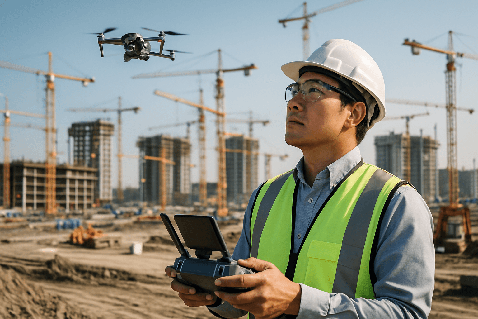
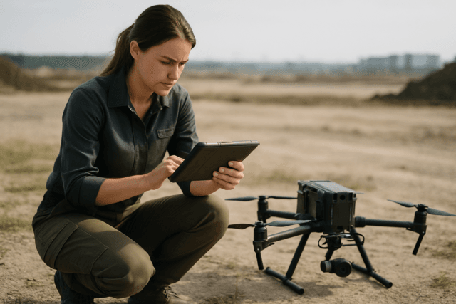
Large-scale construction projects are intricate endeavors, demanding meticulous planning, execution, and continuous oversight to ensure they remain on schedule and within budget. Traditionally, monitoring progress on these vast sites has been a labor-intensive, time-consuming, and often hazardous undertaking. However, a technological revolution is underway, with unmanned aerial vehicles (UAVs), commonly known as drones, transforming how construction progress is tracked, making it more efficient, accurate, and safer than ever before.
The Evolution of Construction Site Monitoring
For decades, construction progress monitoring relied on manual site inspections, ground-based photography, and sometimes expensive manned aerial surveys. These methods, while foundational, presented significant limitations. Manual inspections are prone to human error, offer a limited perspective, and can be dangerous, especially on expansive or high-rise projects. They are also slow, providing infrequent updates that can lead to delays in identifying and rectifying issues.
The advent of drone technology has profoundly shifted this paradigm. Initially used for military purposes, drones began penetrating the commercial construction sector in the early 2010s for basic aerial photography. Over time, advancements in sensor technology, flight autonomy, and data processing capabilities have made drones indispensable tools for comprehensive site monitoring and progress tracking. The construction industry has seen a remarkable increase in drone adoption, with some reports indicating an annual growth rate of over 200%.
How Drones Revolutionize Progress Tracking
Drones offer a “bird’s-eye view” that provides a singular, trustworthy, and consistent perspective of an entire construction site, far surpassing the limitations of ground-level observation. This aerial vantage point, combined with advanced sensing capabilities, allows for the collection of rich datasets that are crucial for detailed progress tracking.
Data Acquisition: What Drones Collect
Modern construction drones are equipped with sophisticated cameras and sensors, capturing high-quality data in multiple formats:
- High-Resolution Photos and Videos: Drones capture detailed aerial imagery and video footage, offering a comprehensive visual record of the site’s current state. These visuals are essential for progress comparisons and communicating updates to stakeholders.
- Orthomosaic Maps: By stitching together thousands of overlapping aerial images, drones create georeferenced orthomosaic maps. These highly accurate 2D maps provide a true-to-scale representation of the site, allowing for precise measurements of distances and areas.
- 3D Models and Point Clouds: Using photogrammetry techniques, drone imagery is converted into detailed 3D models and point clouds. These digital twins offer a realistic and interactive visualization of the project, enabling project managers to assess structural development, identify spatial relationships, and detect design discrepancies.
- LiDAR Data: Light Detection and Ranging (LiDAR) sensors measure distances by illuminating a target with pulsed laser light and measuring the reflected pulses. This technology creates highly accurate topographic maps, digital elevation models (DEMs), and detailed 3D representations of terrain and structures, even through vegetation.
- Thermal Maps: Drones equipped with thermal cameras can detect heat signatures, revealing work done incorrectly, such as heat escaping through cracks or leaks, or identifying potential issues with electrical systems or insulation.
From Raw Data to Actionable Insights
The raw data collected by drones undergoes advanced processing to transform it into actionable insights:
- Photogrammetry Software: Specialized software like DroneDeploy, Pix4D, Kespry, and Propeller Aero process drone imagery to generate orthomosaics, 3D models, and point clouds. These platforms often feature automated volumetric analysis, site comparison tools, and integration capabilities.
- BIM (Building Information Modeling) Integration: Drone-captured data can be directly integrated into BIM systems, allowing for seamless data sharing and improved collaboration. This integration enables project managers to compare actual progress against the BIM model, identify discrepancies, and make timely adjustments.
- AI and Machine Learning (AI/ML) Analytics: AI algorithms analyze drone data to provide valuable insights, such as detecting spatial patterns, classifying work zones by stage, and identifying progress anomalies. AI-driven analysis can assess whether construction aligns with design, pinpoint safety issues, and track quantities.
- Cloud-Based Platforms: Many drone software solutions are cloud-based, offering centralized platforms for storing, accessing, processing, and sharing project data among all stakeholders, regardless of their location.
Key Metrics for Progress Tracking
With drone-derived data, construction teams can track a multitude of critical metrics:
- Volume Calculations: Drones facilitate accurate measurements of stockpile volumes (e.g., dirt, gravel) and cut/fill analysis, which is essential for inventory management, earthwork estimation, and cost control.
- Schedule Adherence: Regular drone flights provide consistent visual documentation, allowing project managers to monitor task completion against deadlines, identify delays early, and make necessary adjustments to keep the project on track.
- Quality Control: High-resolution imagery and 3D models enable detailed inspection of work, ensuring adherence to quality standards and design specifications.
- Safety Compliance: Drones can conduct safety inspections of hazardous or hard-to-reach areas, identifying potential risks like structural weaknesses or non-compliance with safety protocols, thus enhancing worker safety.
- Material and Equipment Tracking: Drones streamline inventory management by providing real-time monitoring of on-site materials and equipment, reducing the risk of theft or misplacement.
Advantages of Drone-Based Progress Tracking
The adoption of drones in construction brings a host of significant benefits:
Enhanced Accuracy and Detail
Drones capture high-resolution images and precise measurements, enabling the creation of detailed 2D maps and 3D models with centimeter-level accuracy. This superior data quality significantly improves planning, design, and decision-making.
Significant Time and Cost Savings
Drones can survey large construction sites much faster than traditional manual methods, often completing tasks in 60% to 70% less time. This speed reduces labor costs and expedites the overall project timeline. Automation of data collection and report generation further contributes to efficiency and cost reduction.
Improved Safety and Risk Mitigation
By performing inspections of elevated or dangerous areas (e.g., roofs, scaffolding, unstable terrain), drones reduce the need for workers to be in hazardous situations, significantly lowering the risk of accidents and injuries. Drones also aid in identifying potential hazards early, contributing to a safer work environment.
Better Communication and Collaboration
Drone imagery and 3D models provide clear, visual updates that can be easily shared among project managers, engineers, contractors, and off-site stakeholders. This real-time, comprehensive view fosters better communication, collaboration, and more informed decision-making across all project teams.
Addressing the Challenges: Overcoming Obstacles
Despite the numerous benefits, the widespread adoption of drones in construction faces certain challenges:
Regulatory Compliance and Airspace Management
Operating drones commercially requires adherence to specific aviation regulations. In the U.S., operators must obtain a Part 107 Remote Pilot Certificate from the FAA, and drones weighing over 0.55 pounds must be registered. Regulations also dictate airspace restrictions, altitude limits (typically 400 feet above ground level), and maintaining a visual line of sight (VLOS). Night operations or flights beyond VLOS often require special waivers. Navigating these complex regulations and obtaining necessary authorizations can be time-consuming and challenging.
Data Management and Processing Demands
Drones generate vast amounts of data, including high-resolution images and LiDAR scans. Managing, storing, processing, and analyzing this data requires robust software, significant computing power, and expertise. Companies need solutions for processing raw data into actionable models and integrating it with existing project management and BIM systems.
Initial Investment and Training
The upfront cost of acquiring professional-grade drones, advanced sensors, and specialized software can be substantial. Furthermore, staff need to be trained not only in piloting drones safely and legally but also in data processing and analysis to maximize the technology’s benefits.
Operational Limitations
Drones can be affected by weather conditions such as strong winds, heavy rain, or extreme temperatures, which can delay operations or impact data accuracy. Battery life can also be a limiting factor, especially for continuous monitoring of very large areas, often requiring multiple batteries or drone-in-a-box solutions.
The Future of Drone Integration in Construction
The future of drones in construction is poised for even greater integration and sophistication. Continued advancements in artificial intelligence and automation will enable drones to autonomously analyze data, detect anomalies, and generate actionable insights with minimal human intervention. Enhanced sensor technology, including improved thermal imaging and LiDAR, will provide even more detailed and accurate data. The development of automated drone fleets and docking stations promises continuous monitoring and real-time updates without constant human oversight, further increasing efficiency and safety.
Conclusion
Drones are no longer just an emerging technology in construction; they are an integral tool that is fundamentally transforming how large construction sites are monitored and managed for progress tracking. By providing unparalleled accuracy, efficiency, and safety, drones offer a comprehensive, real-time understanding of project advancement that traditional methods simply cannot match. While challenges related to regulations, data management, and initial investment exist, the overwhelming benefits and ongoing technological advancements ensure that drones will continue to play an increasingly critical role in shaping the future of the construction industry.


