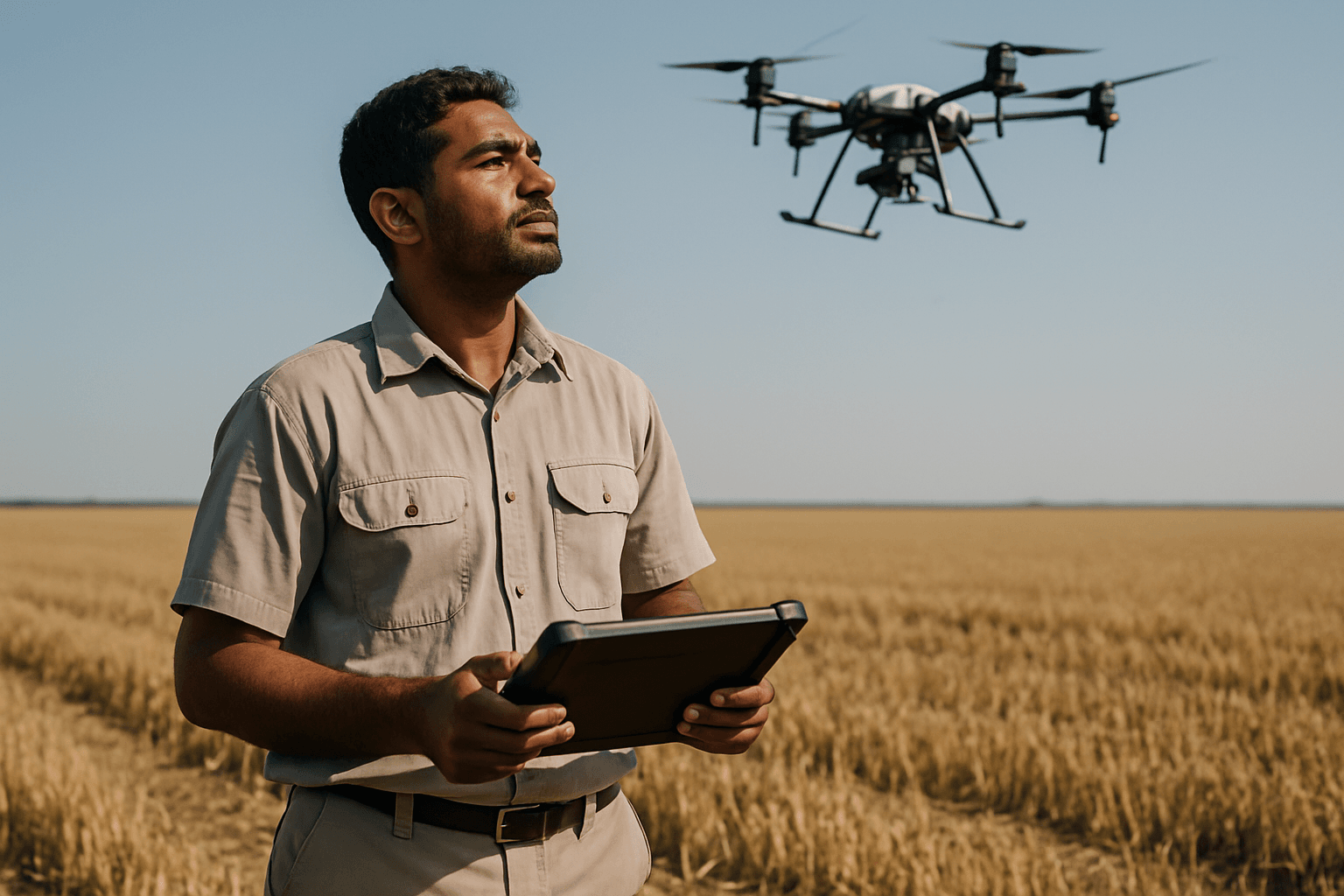
In the rapidly evolving landscape of precision agriculture, the pursuit of pinpoint accuracy is paramount. Farmers and agronomists increasingly rely on technology to optimize resource management, enhance crop yields, and minimize environmental impact. Central to this technological revolution are agricultural drones, and their effectiveness is dramatically amplified by the integration of Real-Time Kinematic (RTK) Global Positioning System (GPS) technology. RTK GPS elevates drone accuracy from meters to mere centimeters, transforming agricultural drones into indispensable tools for highly precise farm management.
Understanding RTK GPS Technology
Standard GPS systems, commonly found in smartphones and cars, typically offer positional accuracy within 1-3 meters, or even 3-5 meters. While sufficient for general navigation, this level of precision falls short for the demanding requirements of precision agriculture. This is where RTK GPS steps in, providing centimeter-level accuracy by correcting errors in real time.
How RTK GPS Works: The Basics of Real-Time Kinematic
RTK (Real-Time Kinematic) is an advanced satellite navigation technique that significantly enhances the precision of position data derived from Global Navigation Satellite Systems (GNSS), which include GPS, GLONASS, Galileo, and BeiDou. The core principle of RTK GPS involves two main components: a base station and a mobile unit (rover), often a drone in agricultural applications.
The base station is placed at a fixed, known location and continuously receives signals from GNSS satellites. By comparing its known position with the position calculated from satellite signals, the base station identifies and calculates errors present in the GPS data. These errors can stem from various sources, including atmospheric interference (ionospheric and tropospheric delays), satellite orbit inaccuracies, and signal multipath (signals bouncing off objects).
Once calculated, this correction data is transmitted in real time to the mobile unit (the drone) via a data link, which can be a radio, cellular network (like 5G), or satellite communication. The drone’s RTK receiver then applies these corrections to its own satellite signal data, enabling it to determine its position with exceptional accuracy, often within 1-2 centimeters. This real-time correction is what gives RTK its name and its immense value.
The Challenge of Standard GPS in Precision Applications
Without RTK, a drone relying solely on standard GNSS positioning would experience inaccuracies that accumulate across large agricultural fields. These small errors can lead to significant problems, such as overlaps or missed sections during planting, spraying, or data collection. For tasks requiring exact measurements and repeatable operations, the meter-level accuracy of standard GPS is simply insufficient, potentially resulting in wasted resources and suboptimal outcomes.
Why RTK GPS is Crucial for Agricultural Drones
The integration of RTK GPS transforms agricultural drones from general observational tools into highly precise instruments capable of executing critical farming tasks with unparalleled accuracy.
Enhanced Positional Accuracy for Mapping and Scouting
One of the most immediate benefits of RTK GPS in agricultural drones is the creation of ultra-accurate orthomosaic maps and topographic models. Each image captured by an RTK-enabled drone is precisely geotagged with centimeter-level coordinates in real time. This eliminates the need for extensive ground control points (GCPs), which traditionally require significant time and labor for setup. With precise mapping, farmers can better identify drainage issues, field variability, and soil health patterns, forming the foundation for informed decision-making.
Precise Application of Inputs: Fertilizers, Pesticides, and Seeds
RTK GPS-enabled drones facilitate highly precise variable-rate applications of fertilizers, pesticides, and seeds. By using accurate maps, farmers can create prescriptions that dictate the exact amount of input needed for specific areas of a field. Drones equipped with RTK can then follow these prescriptions with centimeter-level accuracy, applying resources only where and when needed. This targeted approach significantly reduces waste of expensive resources, lowers input costs, and minimizes environmental impact by reducing runoff.
Enabling Autonomous Operations and Repeatability
The centimeter-level accuracy provided by RTK GPS is vital for autonomous drone operations in agriculture. Drones can follow highly accurate, pre-programmed flight paths, ensuring comprehensive coverage and eliminating human error. This repeatability is crucial for monitoring crop health over time, comparing data from different growth stages, and ensuring that subsequent applications (e.g., additional fertilizer passes) align perfectly with previous operations. This precise navigation also enables drones to operate effectively even in challenging conditions or at night, extending potential work hours.
Benefits of RTK GPS-Enabled Drones in Precision Agriculture
The advantages of incorporating RTK GPS into agricultural drones extend across various aspects of farm management, driving efficiency, sustainability, and profitability.
Optimizing Resource Management and Reducing Waste
By ensuring precise application of inputs, RTK drones help farmers optimize resource management. This translates to a significant reduction in seed, fertilizer, and chemical usage. For example, case studies have shown a 15% reduction in seed usage due to precise planting guidance with RTK GPS. Less waste directly leads to lower operating costs and a reduced environmental footprint.
Improving Crop Health Monitoring and Yield Prediction
RTK drones enhance data collection for crop health monitoring. High-resolution imagery, precisely georeferenced, allows for detailed analysis of plant vigor, pest infestations, and disease outbreaks. This enables early detection and targeted intervention, leading to improved crop health and, ultimately, increased yields. The accurate and repeatable data collection also contributes to more reliable yield prediction models.
Streamlining Data Collection and Analysis
The real-time, centimeter-level accuracy of RTK data simplifies and streamlines the entire data collection and analysis workflow. Since images are geotagged with high precision during flight, post-processing time for georeferencing is significantly reduced. This faster access to accurate data allows for quicker decision-making and implementation of agricultural strategies. The highly accurate maps generated by RTK drones can also seamlessly integrate with other farm machinery equipped with GPS guidance, such as automated tractors.
The Future of RTK GPS and Agricultural Drones
While RTK GPS offers substantial benefits, it’s important to acknowledge its dependencies, such as the need for a stable connection to a base station or network correction system. Signal disruptions due to terrain, buildings, or interference can impact accuracy. In such scenarios, Post-Processed Kinematic (PPK) technology offers an alternative by applying corrections after the flight, providing robustness in challenging environments.
Despite these considerations, the continuous advancement of RTK technology and drone capabilities promises even greater levels of precision and autonomy in agriculture. The ability to achieve centimeter-level accuracy in real time positions RTK GPS as a fundamental component in the ongoing evolution of smart farming, empowering agricultural professionals to manage their fields with unprecedented efficiency and insight.


