As global food demand continues to surge and arable land diminishes, the agricultural sector faces unprecedented pressure to maximize productivity while minimizing resource consumption. This urgent need has accelerated the adoption of advanced technologies, with Unmanned Aerial Systems (UAS), commonly known as drones, emerging as a transformative tool in precision agriculture field mapping. These aerial vehicles are redefining how farmers monitor, measure, and manage crop variability, ushering in an era of data-driven decision-making for enhanced efficiency and sustainability.
Understanding Precision Agriculture and the Role of Drones
Precision agriculture is an innovative farming management concept centered on observing, measuring, and responding to inter and intra-field variability in crops. It leverages technology to apply precise amounts of inputs (like water, fertilizers, and pesticides) where and when they are needed, rather than uniform application across an entire field.
What is Precision Agriculture?
Precision agriculture moves away from traditional, generalized farming practices towards a more localized and optimized approach. It integrates various digital tools, including GPS, GIS (Geographic Information Systems), sensors, and advanced analytics, to gather and analyze spatial data. This data then informs tailored interventions, leading to improved yields, reduced waste, and minimized environmental impact.
Why Drones are Game-Changers in Agriculture
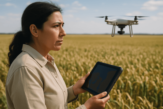
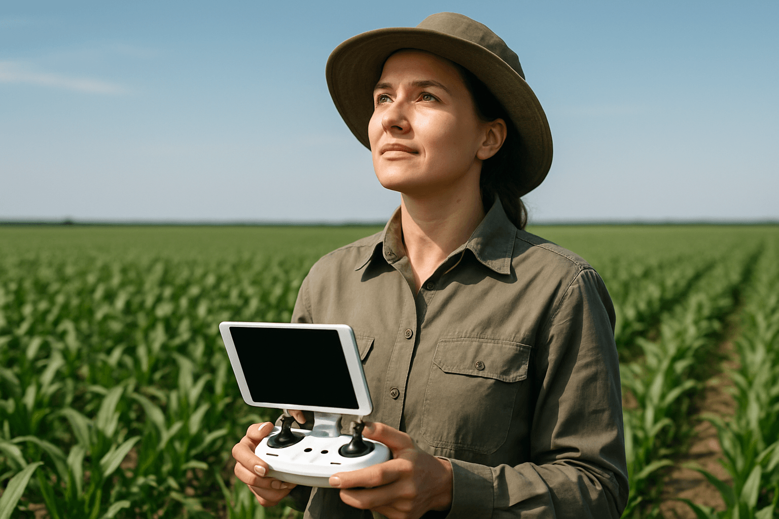
Drones have become indispensable in precision agriculture due to their ability to collect high-resolution, real-time aerial data with unparalleled accuracy and speed. Unlike satellite imagery, which can be costly and less effective in certain conditions, drones offer millimeter-level precision and are less affected by cloud cover. They can swiftly cover vast areas, providing insights that were previously difficult, expensive, or even impossible to obtain through manual scouting or traditional methods.
Key Benefits of Drone-Based Field Mapping
The integration of drones into agricultural field mapping offers a multitude of benefits that directly contribute to increased farm efficiency, profitability, and environmental stewardship.
Enhanced Crop Health Monitoring
Drones equipped with advanced imaging technologies can provide detailed insights into crop health, detecting stress, disease, or pest infestations often weeks before they become visible to the human eye. This early detection allows farmers to take precise and timely actions, mitigating issues and significantly improving crop yields.
Optimized Resource Management (Water, Nutrients, Pesticides)
By accurately mapping and analyzing crop moisture levels, nutrient deficiencies, and soil variability, drones help optimize irrigation schedules and the application of fertilizers and pesticides. This precision in water and input management conserves valuable resources, reduces waste, and ensures crops receive exactly what they need, leading to better growth and reduced environmental runoff.
Accurate Soil and Terrain Analysis
Drones can collect crucial soil health data, including patterns of erosion, moisture levels, and variations in soil properties across different field zones. Their 3D mapping capabilities, often using LiDAR, help identify low spots for drainage planning, detect compacted zones, and assist in efficient land leveling. This information is vital for implementing variable rate applications and improving overall soil quality.
Improved Yield Estimation and Harvest Planning
Through regular and precise monitoring of crop development stages, drones provide valuable data that can predict yield with a high degree of accuracy. This aids farmers in better planning harvests, optimizing labor and equipment use, and making informed decisions about crop sales and distribution, ultimately leading to increased profitability.
Environmental Sustainability and Cost Reduction
Drones contribute significantly to sustainable farming practices by reducing the overuse of fertilizers, pesticides, and water resources. Targeted treatments minimize the harmful impact of agricultural runoff on soil and water quality. Furthermore, drones decrease labor requirements, especially for tasks like crop scouting, and reduce fuel consumption from fewer field visits, leading to lower operational costs and greenhouse gas emissions.
Types of Data Collected by Agricultural Drones
Agricultural drones are equipped with a range of sophisticated sensors to capture diverse types of data, each offering unique insights into field conditions.
RGB Imagery
Standard RGB (Red, Green, Blue) cameras capture visible light, producing images similar to those from a digital camera. These are useful for general visual inspection, spotting visible damage, monitoring plant density, and assessing overall crop growth patterns.
Multispectral and Hyperspectral Data (NDVI)
Multispectral sensors capture images across specific wavelengths, including visible, red-edge, and near-infrared bands. This data is crucial for calculating vegetation indices like the Normalized Difference Vegetation Index (NDVI), which indicates plant vitality and health by measuring how plants reflect different light spectra. Healthy plants reflect more near-infrared light and absorb more red light. Hyperspectral cameras provide even more detailed spectral information across a wider range of bands.
Thermal Imaging
Thermal cameras detect temperature variations across crops and soil. These variations can indicate water stress, areas of poor irrigation, heat stress, or even underground water sources, enabling smart water and nutrient management.
LiDAR (Light Detection and Ranging)
LiDAR sensors emit rapid laser pulses to measure distances, creating detailed 3D maps of field topography. This data is invaluable for understanding terrain variability, planning drainage systems, and assessing canopy height and volume.
The Process: From Flight to Field Insights
Effective drone-based field mapping involves a systematic process to ensure accurate data collection, processing, and actionable insights.
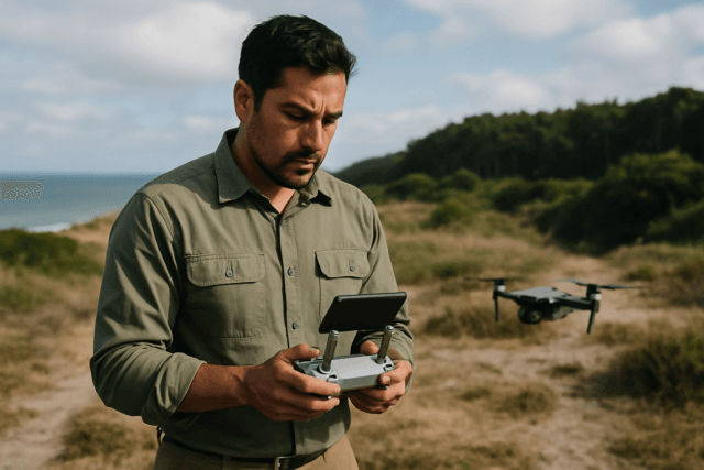
Flight Planning and Data Acquisition
Before a drone takes flight, a detailed mission plan is created using specialized flight planning software. This software defines the flight path (often a serpentine pattern), altitude, speed, and camera settings, ensuring sufficient overlap between images for accurate stitching. The drone then autonomously executes the mission, capturing hundreds or thousands of georeferenced images with its onboard sensors.
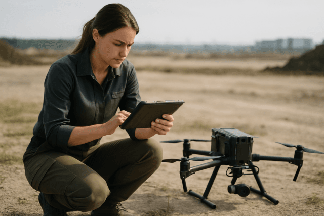
Data Processing and Map Generation
Once data collection is complete, the georeferenced images are uploaded to specialized processing software (e.g., PIX4Dfields, DroneDeploy). This software stitches the individual images together to create high-definition orthomosaic maps of the entire field. It also generates various analytical maps, such as NDVI maps, plant height maps, canopy coverage models, and digital surface models (DSMs). Some software can even perform on-device processing at the field edge, providing near real-time results.
Interpretation and Actionable Insights
The generated maps and data are then analyzed, often using AI and machine learning algorithms, to identify trends, anomalies, and potential problem areas. This analysis provides farmers with clear, actionable insights, such as specific zones requiring irrigation, nutrient application, or pest treatment. These insights can be integrated into farm management platforms to create prescription maps for precision machinery.
Technologies Powering Drone Agriculture Mapping
The capabilities of UAS in agriculture are continuously evolving, driven by advancements in various technologies.
Advanced Drone Platforms and Sensors
Modern agricultural drones range from small multi-rotor systems to larger fixed-wing aircraft, each suited for different scales and tasks. They are equipped with advanced sensors like multispectral, hyperspectral, thermal, and LiDAR, which are crucial for collecting diverse data types.
GPS and Georeferencing
Accurate field mapping relies heavily on Global Positioning System (GPS) technology. Drones utilize GPS to precisely geotag each image with its exact coordinates, enabling the creation of accurate and georeferenced maps. RTK (Real-Time Kinematic) technology further enhances positional accuracy.
Specialized Software and AI Analytics
Beyond flight control, sophisticated software is essential for processing the massive volumes of data collected by drones. AI and machine learning play a crucial role in analyzing these datasets, identifying patterns, detecting diseases, estimating yields, and transforming raw data into actionable intelligence for farmers.
Challenges and Future Outlook for Drone Adoption in Agriculture
Despite their transformative potential, widespread drone adoption in agriculture faces several challenges.
Overcoming Current Hurdles
Key obstacles include the high initial investment in drone hardware, sensors, and software, especially for small to medium-sized farms. Regulatory hurdles, such as complex airspace permissions, operator certifications, and limitations on beyond visual line of sight (BVLOS) flights, also present significant barriers. Additionally, the need for specialized technical expertise to operate drones and interpret the data, as well as operational limitations like battery life and weather sensitivity, pose practical challenges.
The Future of UAS in Farming
The future of agricultural drones is promising, with continuous advancements expected in battery life, autonomy, and sensor technology. Research is exploring drone swarms for more efficient coverage, improved energy autonomy, and the development of even more sophisticated decision-support systems that seamlessly integrate drone data with other farm management platforms. As regulations evolve and technology becomes more accessible and user-friendly, drones are poised to become an even more ubiquitous and integral part of modern farming.
Conclusion
Drones for precision agriculture field mapping represent a paradigm shift in farm management, offering unprecedented levels of detail and efficiency. By providing high-resolution, real-time data on crop health, soil conditions, and terrain, these Unmanned Aerial Systems empower farmers to make informed decisions that optimize resource use, boost yields, and promote environmental sustainability. While challenges related to cost, regulation, and expertise remain, ongoing technological advancements and increasing awareness are paving the way for drones to fully realize their potential, securing a more productive and sustainable future for agriculture.