Coastal erosion is a pervasive environmental challenge, threatening communities, infrastructure, and ecosystems worldwide. The relentless action of waves, tides, and storms, often exacerbated by rising sea levels due to climate change, reshapes shorelines, leading to significant land loss and damage. Traditionally, monitoring these dynamic environments has been a labor-intensive, costly, and often spatially limited endeavor. However, the advent of Unmanned Aerial Systems (UAS), commonly known as drones, is revolutionizing how we observe, measure, and understand coastal change.
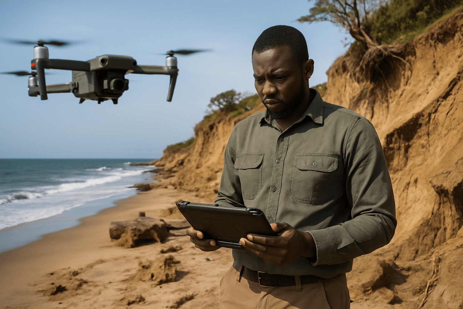
Drones offer an unparalleled ability to rapidly collect high-resolution spatial data over extensive and often difficult-to-access coastal areas, providing critical insights for effective coastal management and protection strategies. This innovative technology is proving to be a game-changer in tracking erosion, assessing storm impacts, and informing conservation efforts with unprecedented precision and efficiency.
The Escalating Threat of Coastal Erosion
Coastal erosion is a natural geological process, but its pace and intensity have been significantly amplified by human activities and climate change. Rising sea levels, more frequent and severe storms, and altered sediment supply contribute to the wearing away of coastlines, impacting natural habitats and human settlements.
The consequences are far-reaching:
- Damage to Infrastructure: Roads, buildings, homes, and vital coastal infrastructure are at constant risk. In England alone, hundreds of thousands of properties face significant risk from coastal flooding and erosion.
- Threats to Public Safety: Erosion can lead to the loss of protective barriers like dunes and seawalls, leaving communities vulnerable to storm surges and flooding.
- Environmental Degradation: Coastal ecosystems, including beaches, dunes, and wetlands, provide critical habitats for diverse flora and fauna. Erosion leads to habitat loss and can disrupt ecological balance.
- Economic Impact: Coastal communities often rely on beaches for tourism, recreation, and economic development. The degradation or loss of these resources has serious economic consequences.
The urgency of addressing coastal erosion demands robust and timely monitoring solutions to inform adaptive management strategies.
How Drones Revolutionize Coastal Monitoring
Drones equipped with advanced sensors provide a flexible, cost-effective, and highly efficient alternative or supplement to traditional coastal monitoring methods like ground surveys, crewed aircraft, and satellite imagery.
Key Advantages of Drone-Based Coastal Surveying
- High Spatial Resolution: Drones capture centimeter-scale details, far surpassing the resolution of satellite imagery. This allows for the detection of subtle changes in beach elevation or cliff recession that might be invisible to the naked eye or coarser resolution data.
- Rapid Response and Deployment: Drones can be deployed quickly, especially after storm events, to capture immediate before-and-after data. This rapid response is crucial for documenting damage and informing disaster relief efforts.
- Cost-Effectiveness and Efficiency: Compared to traditional ground surveys or crewed aerial flights, drones significantly reduce costs and time associated with data collection. A drone can survey a mile of beach in less than an hour, collecting thousands of high-resolution images, whereas a ground team might take an entire day for a 2D survey.
- Access to Difficult or Dangerous Areas: Drones can safely access cliffs, wetlands, and other hazardous or inaccessible coastal areas that are challenging or impossible for human surveyors.
- Repeatability: Drone surveys are highly repeatable, allowing for consistent data collection over time to track long-term trends and patterns of erosion or accretion.
Drone Technologies and Data Products for Erosion Monitoring
The effectiveness of drones in coastal erosion monitoring stems from their ability to carry various specialized sensors and the sophisticated data processing techniques applied to the collected information.
Photogrammetry with High-Resolution Cameras
Standard high-resolution cameras on drones are used to capture overlapping aerial images. These images are then processed using a technique called Structure-from-Motion (SfM) photogrammetry to create detailed 2D and 3D models of the coastline.
Key outputs from photogrammetry include:
- Orthomosaics: Georeferenced, high-resolution aerial images that provide a true-to-scale representation of the coastal landscape. Comparing orthomosaics from different dates quickly highlights visual changes like sand movement or infrastructure damage.
- Digital Surface Models (DSMs) and Digital Terrain Models (DTMs): These 3D elevation models reveal changes in beach elevation, dune loss, or sediment buildup over time. DTMs are particularly useful as they represent the bare earth surface, removing vegetation. By comparing DSMs/DTMs from repeat surveys, experts can accurately quantify volumetric changes of sand and sediment.
- 3D Point Clouds: Dense point clouds generated from overlapping images provide a detailed 3D representation of the terrain, essential for precise change detection and analysis.
LiDAR (Light Detection and Ranging) Drones
LiDAR technology uses laser pulses to measure distances and create highly accurate three-dimensional models of the surveyed area. When mounted on drones, LiDAR offers significant advantages, especially in areas with vegetation.
- Vegetation Penetration: A key benefit of LiDAR is its ability to penetrate through vegetation canopies to map the bare-earth ground surface beneath, providing more accurate topographic data in vegetated dune systems or coastal forests.
- High Precision Elevation Data: LiDAR drones collect incredibly precise 3D elevation data, crucial for identifying subtle changes in coastal morphology and predicting future erosion patterns.
- Bathymetric LiDAR: Specialized bathymetric LiDAR sensors, emitting green laser beams, can penetrate shallow water to map underwater topography and detect changes in nearshore sedimentation. This provides a comprehensive picture of coastal systems, both above and below the waterline.
Multispectral and Hyperspectral Imaging
Drones can also carry multispectral and hyperspectral sensors that capture data across various light wavelengths beyond what the human eye can see. This provides richer data on soil and habitat conditions, vegetation health, and sediment types.
Applications in Coastal Management
The data collected by drones feeds directly into informed decision-making for coastal management:
- Quantifying Erosion and Accretion Rates: Repeated drone surveys allow for precise measurement of how much coastline has eroded or accreted over time, identifying high-risk areas.
- Assessing Storm Impacts: Rapid post-storm surveys enable quick assessment of damage to beaches, dunes, and infrastructure, aiding in emergency response and recovery planning.
- Monitoring Mitigation Measures: Drones can track the effectiveness of erosion mitigation strategies such as beach nourishment or the installation of protective barriers.
- Informing Infrastructure Planning: Detailed topographic data helps engineers and planners make better decisions about the placement and protection of coastal infrastructure.
- Habitat Monitoring: By providing detailed maps of vegetation and terrain, drones support efforts to monitor and restore coastal habitats, such as dune systems.
- FEMA Documentation: Before-and-after drone data can be vital for supporting applications for financial assistance from agencies like FEMA for disaster relief.
Challenges and Future Outlook
Despite the numerous benefits, challenges exist in the widespread adoption of drones for coastal erosion monitoring. These include limitations in operating in certain weather conditions (e.g., strong winds, heavy rain), regulatory complexities (e.g., flight permissions, privacy concerns), and the need for skilled operators for data acquisition and processing. Processing large volumes of drone data, especially for photogrammetry over homogeneous surfaces like sand, can also be complex and require specialized software and expertise.
Nevertheless, the future of drones in coastal erosion monitoring is bright. As technology advances, drones are becoming more autonomous, capable of longer flight times, and equipped with increasingly sophisticated sensors. The integration of drone data with other geospatial technologies like GPS, GIS, and even historical satellite imagery further enhances their utility, allowing for a comprehensive understanding of long-term coastal dynamics. Continued development in AI-assisted change detection tools will also streamline analysis, making it faster and more accessible for coastal managers.
Ultimately, drones are not just a technological novelty but an indispensable tool empowering coastal communities and environmental agencies to better understand, adapt to, and manage the ever-changing coastlines in the face of escalating climate change impacts.


