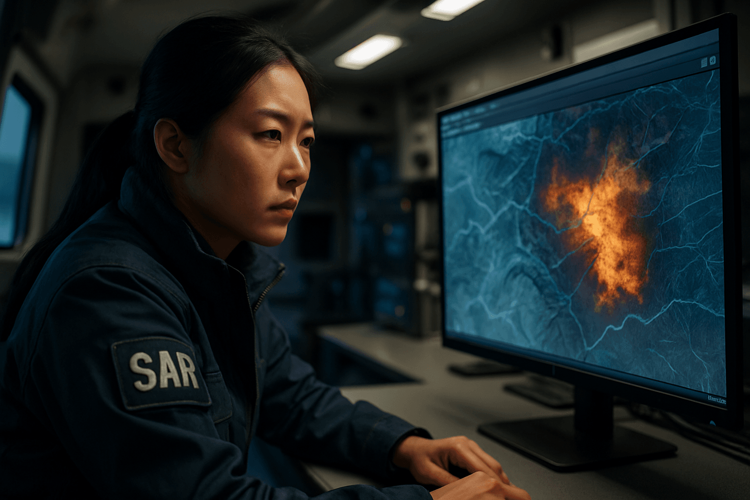
In the critical race against time during search and rescue (SAR) operations, every second and every piece of information matters. Traditional SAR methods, often reliant on ground teams and manned aircraft, can be slow, resource-intensive, and hazardous. However, the integration of drone sensor data with Geographic Information Systems (GIS) is revolutionizing this field, offering unprecedented speed, accuracy, and situational awareness. By combining the aerial perspective and versatile sensing capabilities of Unmanned Aerial Systems (UAS) with the powerful spatial analysis and visualization tools of GIS, SAR teams can significantly enhance their effectiveness, locate missing persons faster, and deploy resources more efficiently.
The Power Duo: Drones and GIS in SAR
The synergy between drones and GIS creates a robust framework for managing complex SAR missions, particularly in challenging environments.
Drones: The Eyes in the Sky for SAR
Drones have emerged as indispensable tools for SAR due to their rapid deployment capabilities, ability to access hard-to-reach or hazardous areas, and versatility in carrying various payloads. These unmanned aerial vehicles can cover vast areas quickly, significantly reducing the time and manpower needed for searches.
Key drone sensors for SAR include:
- Thermal Imaging Cameras (FLIR): These are game-changers, detecting heat signatures from individuals even in low-visibility conditions, dense foliage, at night, or under rubble. They effectively “see the invisible” by capturing infrared radiation.
- High-Resolution Optical Cameras: Capable of capturing still images and real-time video, these cameras provide valuable visual data, allowing responders to map search zones and pinpoint potential locations.
- LiDAR (Light Detection and Ranging): LiDAR sensors can create detailed 3D maps and models of terrain and structures, crucial for navigating complex environments like collapsed buildings or mountainous regions. They provide precise measurements and can even penetrate some foliage to map the ground beneath.
- Advanced Audio Sensors: Some drones are equipped with audio sensors that can pick up faint sounds or cries for help that might be missed by human ears or ground equipment.
Geographic Information Systems (GIS): The Brain for Spatial Intelligence
GIS is a powerful technology designed to capture, manage, analyze, and present geographical data. In SAR, GIS provides a crucial framework for understanding the spatial context of a mission. It allows for the combined use of all available data, linked through their spatial attributes, to build models that guide search locations and resource allocation.
The role of GIS in SAR includes:
- Data Management: Storing and organizing diverse geographic data, such as topographical maps, land use, infrastructure, and historical incident data.
- Spatial Analysis: Performing complex analyses like terrain modeling, visibility analysis, and proximity analysis to identify high-probability search areas and optimal access routes.
- Visualization and Mapping: Creating detailed, interactive maps and 3D models that present real-time and historical data in an easily understandable format for decision-makers and field teams.
- Decision Support: Providing a normative approach to decision-making, helping SAR managers to evaluate environmental and individual variables to make informed choices.
The Unifying Advantage: Why Integrate Drone Data with GIS?
Integrating drone sensor data with GIS amplifies the capabilities of SAR operations, leading to several critical benefits:
- Enhanced Situational Awareness: Drones provide a bird’s-eye view, delivering real-time aerial imagery and data that, when integrated into GIS, offers a comprehensive and up-to-date picture of the terrain, potential hazards, and the location of missing persons. This holistic view helps coordinate rescue efforts effectively.
- Faster Decision-Making: Real-time data feeds from drones, processed and visualized within a GIS, enable swift reactions to emerging situations. This immediacy is crucial in emergencies, allowing command centers to prioritize response efforts and allocate resources rapidly.
- Improved Resource Deployment: By precisely mapping the search area and potential targets, SAR teams can optimize the placement of ground personnel and equipment, reducing unnecessary risks and maximizing efficiency.
- Access to Inaccessible Areas: Drones can safely navigate hazardous environments, dense forests, or collapsed structures that would be dangerous or impossible for human rescuers, collecting vital information without risking lives.
- Cost-Effectiveness and Efficiency: Drones offer a cheaper and faster alternative for aerial data collection compared to traditional manned aircraft. This reduces operational costs and significantly cuts down search times.
Key Steps for Integrating Drone Sensor Data with GIS
A successful integration involves a systematic workflow, from data acquisition to analysis and dissemination.
1. Data Acquisition: Capturing the Raw Intelligence
The first step involves capturing high-quality data using drones equipped with appropriate sensors.
a. Sensor Selection
Choosing the right drone payload is critical and depends on the specific SAR mission. For instance, thermal cameras are paramount for locating individuals by their body heat, especially in low light or dense cover. High-resolution optical cameras are essential for detailed visual mapping, while LiDAR can provide precise elevation models of complex terrains. Some drones, like the DJI Mavic 3 Thermal or Matrice 30 Thermal, come with integrated thermal sensors for precise location tracking.
b. Flight Planning and Execution
Effective flight planning ensures comprehensive coverage and optimal data capture. Software like DJI GS Pro, Pix4D, or DroneDeploy can be used for mission planning, allowing operators to pre-program flight paths for autonomous data collection. For improved positional accuracy, drones equipped with Real-Time Kinematic (RTK) or Post-Processed Kinematic (PPK) GPS systems are highly beneficial, achieving survey-grade results. Consistent flight patterns and sufficient image overlap are necessary for accurate mapping.
c. Georeferencing and Metadata
Most professional drones automatically embed GPS coordinates (geolocation data) and timestamps within the metadata of captured images and video. This georeferencing is fundamental for integrating the data into a GIS, ensuring that all information is precisely located in space.
2. Data Processing: Transforming Raw Data into Usable Information
Raw drone data, consisting of numerous individual images, must be processed into usable geospatial products.
a. Image Stitching and Mosaicking
Individual images are stitched together to create a single, seamless orthomosaic map of the entire search area. Orthomosaics are geometrically corrected images that have a uniform scale, making them suitable for accurate measurements within GIS. Software such as Pix4D, DroneDeploy, NOVA Drone Mapping, Web ODM, or Esri’s ArcGIS Drone2Map can perform this function.
b. Orthorectification
This process corrects geometric distortions in aerial imagery caused by terrain variations and camera tilt, ensuring that the final map is accurate and true to scale. This is critical for precise spatial analysis in GIS.
c. Generating 3D Models and Point Clouds
Using photogrammetry techniques, processed drone images can generate detailed 3D models and point clouds (dense sets of data points representing the ground and objects). These are invaluable for urban SAR, disaster damage assessment, and understanding complex topography. LiDAR data directly generates highly accurate point clouds.
d. Data Formats
Processed drone data is typically exported in GIS-compatible formats, such as GeoTIFF for raster images (orthomosaics, elevation models) and LAS/LAZ for point clouds. Digital Surface Models (DSM) and Digital Terrain Models (DTM) are also common outputs, providing elevation information.
3. GIS Integration and Analysis: Making Sense of the Spatial Data
Once processed, the drone data is imported into GIS software for analysis and visualization.
a. Importing into GIS Software
Processed data can be imported into various GIS platforms like ArcGIS (ArcGIS Pro, Site Scan for ArcGIS, ArcGIS Drone2Map) or open-source alternatives like QGIS. Specialized SAR-focused platforms like CalTopo/SarTopo also facilitate this integration.
b. Layer Management
Within the GIS, drone-derived layers (orthomosaics, 3D models, thermal maps) are combined with existing base maps (e.g., roads, buildings, topography) and operational layers (e.g., known search zones, incident perimeters, resource locations). This layered approach provides a comprehensive view of the operational environment.
c. Spatial Analysis Tools
GIS provides powerful tools for analysis:
- Change Detection: Comparing drone imagery from different time periods to identify changes in the landscape, such as shifts in debris fields after a disaster.
- Buffer Analysis: Defining areas around points of interest (e.g., last known position) to prioritize search efforts.
- Line-of-Sight Analysis: Determining visible areas from specific vantage points, useful for planning observation posts or ground team routes.
- Volumetric Calculations: Estimating the volume of debris or earth, particularly useful in rubble searches.
- Object Detection: Leveraging AI and machine learning within GIS to automatically identify specific objects or anomalies, such as vehicles, structures, or even human figures.
d. Real-time Visualization and Dashboards
Advanced GIS solutions can integrate real-time drone video feeds and processed data into interactive dashboards. These dashboards offer a common operating picture, allowing command centers and field teams to coordinate efforts and make data-driven decisions on the fly.
Challenges and Considerations
While the integration of drone data with GIS offers immense potential, several challenges need to be addressed:
- Data Volume and Processing Power: Drones generate vast amounts of high-resolution data, requiring significant computational resources for processing and storage. Cloud-based processing solutions can help manage this.
- Interoperability Standards: Ensuring seamless data sharing and integration between different drone hardware, sensor types, and GIS software platforms remains a challenge. Standardized data formats and protocols are crucial for enhanced interoperability.
- Operator Training and Expertise: Operating drones and performing sophisticated GIS analysis requires specialized training and expertise for SAR personnel.
- Regulatory Hurdles: Drone operations, especially in emergency situations and crowded airspace, are subject to strict regulations (e.g., FAA in the US) that require special clearance and adherence to safety protocols.
- Battery Life and Weather Conditions: Drone flight times are limited by battery life, and operations can be hampered by adverse weather conditions like high winds, rain, or extreme temperatures.
- Site Size and Layout: While drones are efficient for large areas, extremely vast or unusually complex sites can still pose challenges for comprehensive mapping.
Future Trends: Towards Fully Autonomous and Intelligent SAR
The future of drone-GIS integration in SAR is rapidly advancing, driven by emerging technologies:
- AI and Machine Learning: AI algorithms are increasingly being used for automated object detection, classification, and change detection, significantly speeding up the analysis of drone imagery and identifying potential survivors or hazards. This can automate time-consuming manual analysis. Reinforcement learning can even optimize drone flight paths for targeted data collection.
- Cloud-Based GIS Platforms: Cloud computing offers scalable processing power and facilitates real-time data sharing and collaboration among multiple SAR agencies, irrespective of their physical location.
- Swarm Drone Technology: The use of multiple drones operating collaboratively (drone swarms) can cover even larger areas more quickly and efficiently, potentially locating survivors through collective intelligence and diverse sensor inputs.
- Enhanced Real-time Capabilities: Advances in drone transmission technology and cloud infrastructure are enabling near real-time processing and analysis, providing immediate insights to responders in the field.
Conclusion
The integration of drone sensor data with Geographic Information Systems is fundamentally transforming search and rescue operations. By leveraging advanced drone capabilities—such as thermal imaging, high-resolution cameras, and LiDAR—and feeding this rich geospatial data into powerful GIS platforms, SAR teams gain unparalleled situational awareness, make faster, more informed decisions, and deploy resources with greater precision. As drone and GIS technologies continue to evolve, particularly with the advent of AI and cloud-based solutions, the potential for saving lives in emergency situations will only grow, solidifying this integration as a cornerstone of modern SAR.


