Microplastics, tiny plastic fragments less than 5mm in size, are no longer confined to the oceans; they have permeated terrestrial ecosystems, posing a silent but significant threat to soil health, plant life, and biodiversity. Understanding their pervasive impact is crucial, yet traditional ground-based research methods are often time-consuming, labor-intensive, and limited in scope. Enter drones, or Remotely Piloted Aircraft Systems (RPAS), which are rapidly transforming how scientists monitor, detect, and analyze the effects of microplastics across vast and often inaccessible landscapes.
The Pervasive Threat of Microplastics in Terrestrial Environments
From agricultural fields to remote wilderness, microplastics are accumulating in soils, affecting soil structure, water retention, and nutrient cycling. Plants can absorb microplastics through their roots, potentially impacting growth, development, and overall health. The long-term consequences for ecosystems, food security, and human health remain subjects of urgent research. The sheer scale of this problem necessitates innovative monitoring techniques that can provide comprehensive, high-resolution data over large areas.
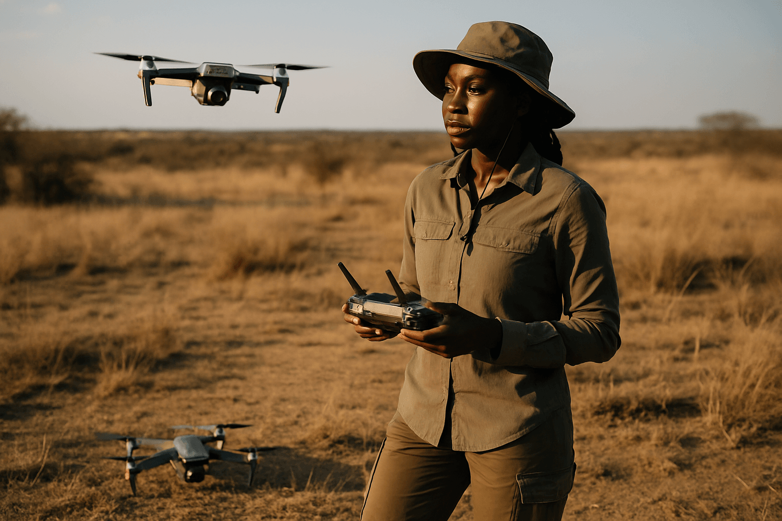
Drones: A Game Changer for Environmental Monitoring
Initially developed for military use, drones have become invaluable tools for diverse environmental applications due to their efficiency, cost-effectiveness, and ability to generate high-quality data. They offer a bird’s-eye view, enabling researchers to survey and map extensive areas with minimal environmental disturbance and reduced safety risks compared to traditional methods.
Advanced Sensing for Microplastic Detection and Impact Assessment
The true power of drones in studying microplastic effects lies in the sophisticated sensor payloads they carry. These technologies allow for both the detection of microplastics and the simultaneous assessment of ecosystem health indicators.
Hyperspectral and Multispectral Imaging
Drones equipped with hyperspectral and multispectral imaging sensors are at the forefront of this research. These advanced cameras capture light across numerous narrow spectral bands, far beyond what the human eye can see.
- Microplastic Detection: Different plastic polymers exhibit unique spectral signatures, especially in the short-wave infrared (SWIR) spectrum. By analyzing these distinct reflection patterns, researchers can identify and map the presence and distribution of various types of plastics in the environment.
- Vegetation Health Assessment: Beyond detecting plastics, these sensors are crucial for monitoring plant health. They can assess photosynthetic activity, water content, and nutrient stress in vegetation, which are vital indicators of how microplastic contamination might be impacting plant physiology and overall ecosystem vitality. Drones can also aid in plant species recognition.
LiDAR Technology for Topographic Analysis
LiDAR (Light Detection and Ranging) sensors mounted on drones provide highly accurate 3D models of landscapes. This technology is instrumental in:
- Terrain Mapping: Creating detailed topographic maps that can reveal subtle changes in land use or erosion patterns that might be exacerbated or influenced by microplastic accumulation.
- Vegetation Structure: Assessing vegetation density and structure, which can be correlated with areas of high microplastic concentration to understand potential ecological shifts.
Airborne Microplastic Sampling Systems
Some specialized drones are designed not just for imaging but also for direct sampling. Researchers have developed microplastic collection and sampling UAVs that can collect air samples at different altitudes using particulate sensors and custom filtration units. While primarily focused on airborne microplastics, this capability can contribute to understanding the atmospheric deposition of microplastics onto terrestrial surfaces, thus informing studies on their entry points into ecosystems. In a proof-of-concept study, a portable catamaran drone (PCD) combined with a near-infrared hyperspectral imager (HSI) was used for rapid microplastic sampling and analysis, demonstrating comparable accuracy to traditional laboratory methods.
Key Advantages of Drone Technology in Studying Terrestrial Microplastics
The integration of drones into microplastic research offers several compelling benefits:
- Efficiency and Speed: Drones can cover large areas rapidly, collecting vast amounts of data in a fraction of the time compared to ground surveys. This speed is crucial for timely assessment and monitoring of dynamic environmental changes.
- Access to Remote and Hazardous Areas: Many terrestrial ecosystems, such as dense forests, remote mountain ranges, or contaminated sites, are difficult or dangerous for human access. Drones can easily navigate these terrains, providing data from otherwise unreachable locations without causing further disturbance.
- High-Resolution Data and Precision: Drones capture high-resolution imagery and sensor data from precise vantage points, leading to more accurate representations and detailed analysis of environmental factors. This precision is vital for identifying localized microplastic hotspots and their immediate effects.
- Reduced Environmental Impact: Drone operations have a minimal impact on sensitive natural areas and produce significantly lower greenhouse gas emissions compared to traditional aerial data collection methods. They also reduce the potential for spreading invasive species.
- Cost-Effectiveness: While initial investment may vary, the long-term operational costs and efficiency gains often make drones a more cost-effective solution for extensive monitoring projects.
- Longitudinal Studies and Dynamic Views: Drones allow researchers to conduct longitudinal studies across seasons and years, providing a dynamic view of environmental changes and the long-term impacts of microplastics.
Challenges and Future Directions
Despite their immense potential, challenges in using drones for microplastic research include sensor limitations, particularly in reliably detecting microplastics and nanoplastics, and differentiating them from natural debris under varying environmental conditions. The processing and analysis of the enormous datasets generated by drone-mounted sensors also require advanced computational capabilities, including machine learning and artificial intelligence.
The future of drone applications in studying terrestrial microplastics is promising. Continued advancements in sensor technology, such as improved hyperspectral resolution and more sophisticated AI algorithms, will enhance detection accuracy and classification capabilities. Integrating drone data with ground-based sampling and laboratory analysis will provide a more comprehensive understanding of microplastic distribution and their ecological effects. Furthermore, the development of biodegradable drones, powered by renewable energy, signifies a commitment to minimizing the environmental footprint of these research tools themselves. By leveraging these technological innovations, scientists can gain critical insights into the silent spread of microplastics and inform more effective mitigation and remediation strategies for our planet’s vital terrestrial ecosystems.


